Sunday, April 28, 2024

Alexandria

There is always something interesting. And, so it was, while driving west of Minneapolis, Minnesota.

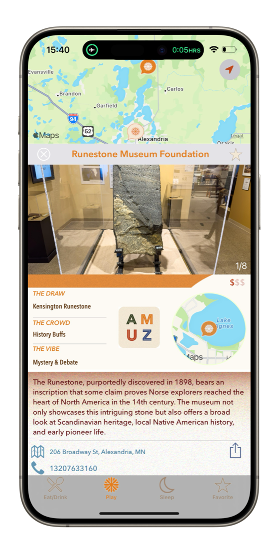
Alexandria, 2 hours northwest, beckoned. A quick survey revealed the curious case of the Kensington Rune Stone.


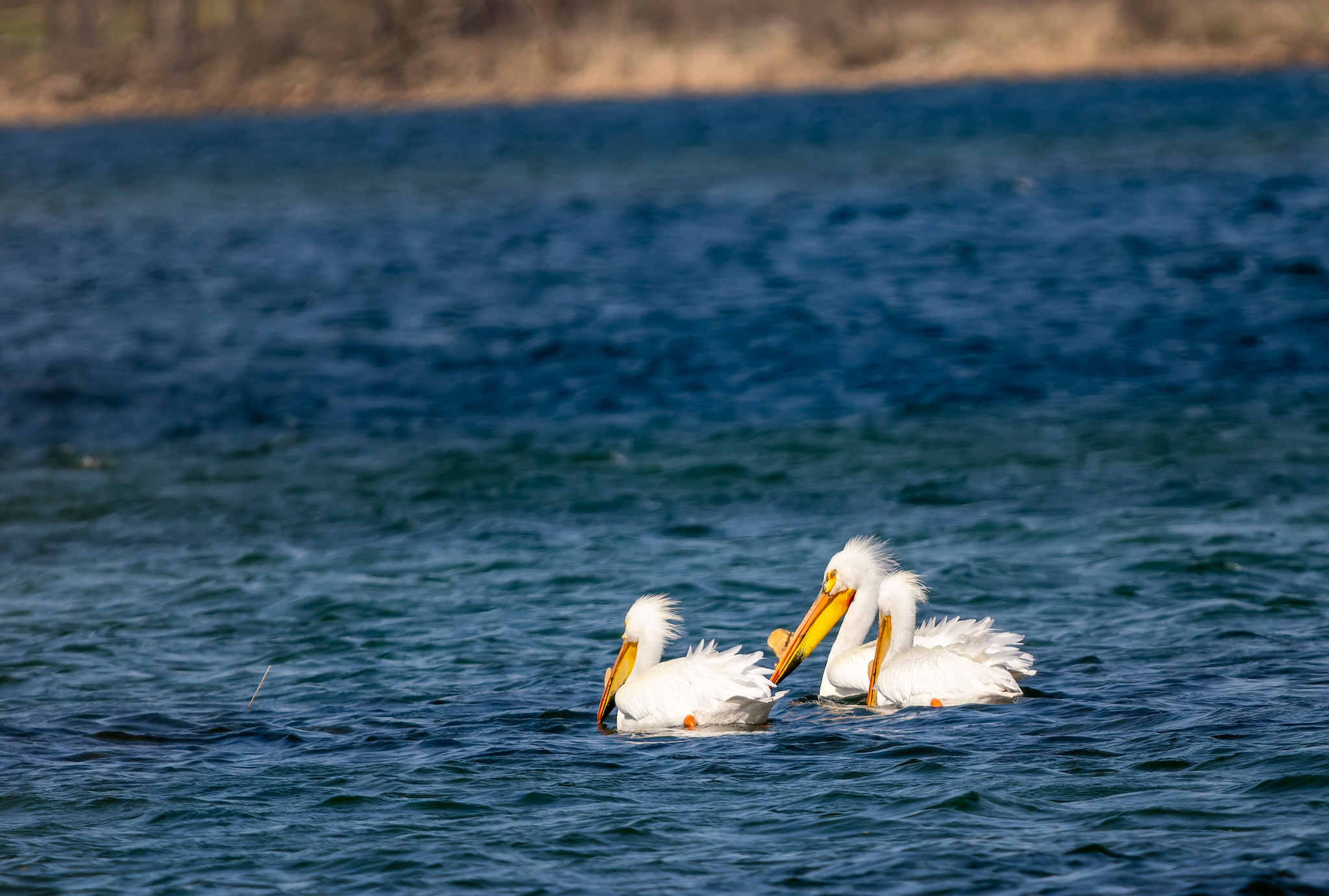
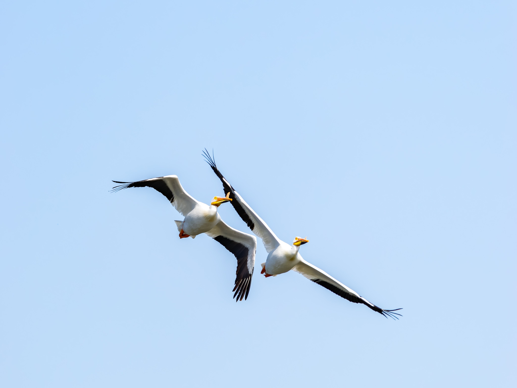
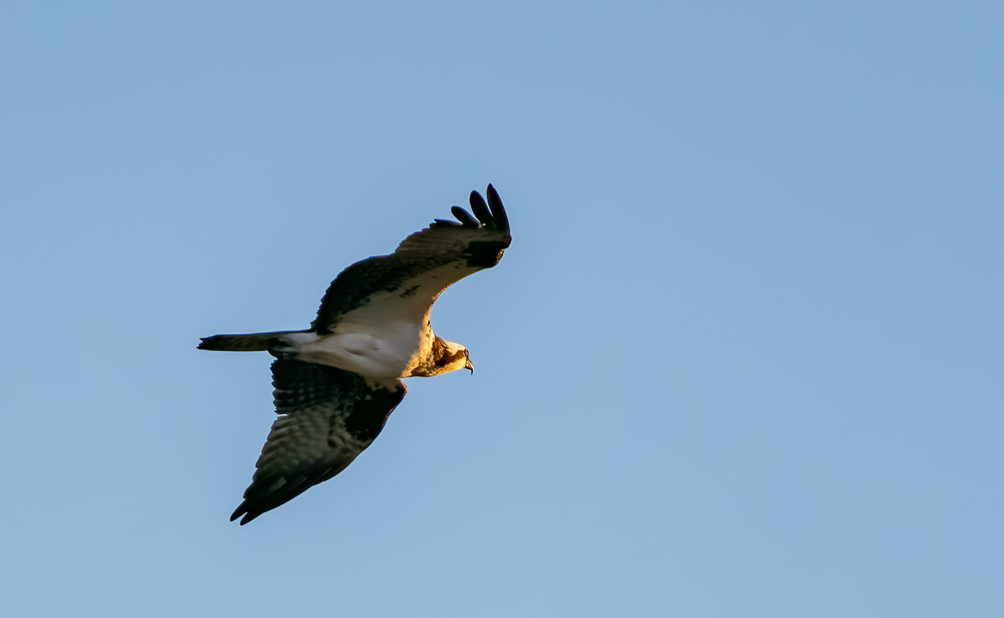
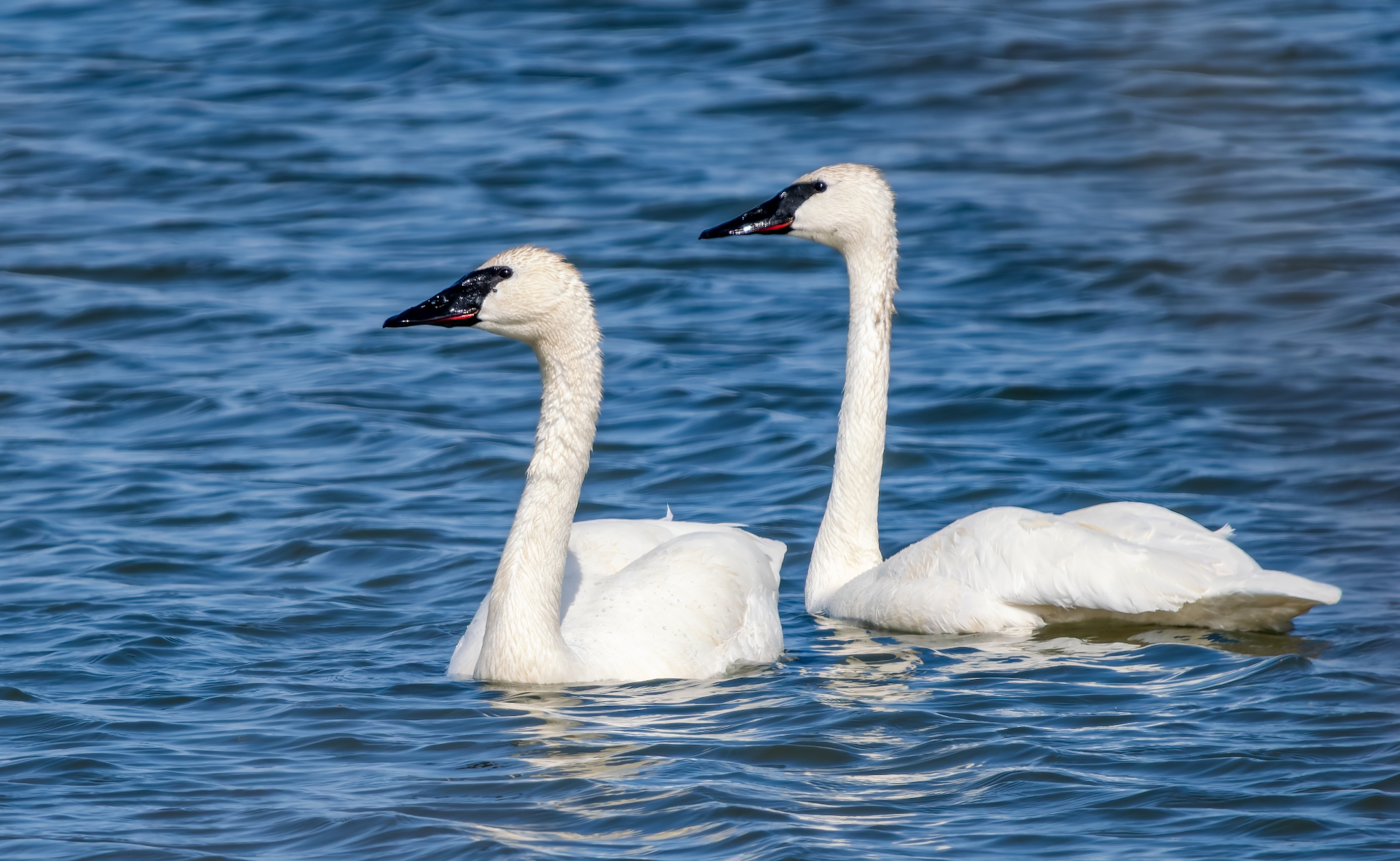
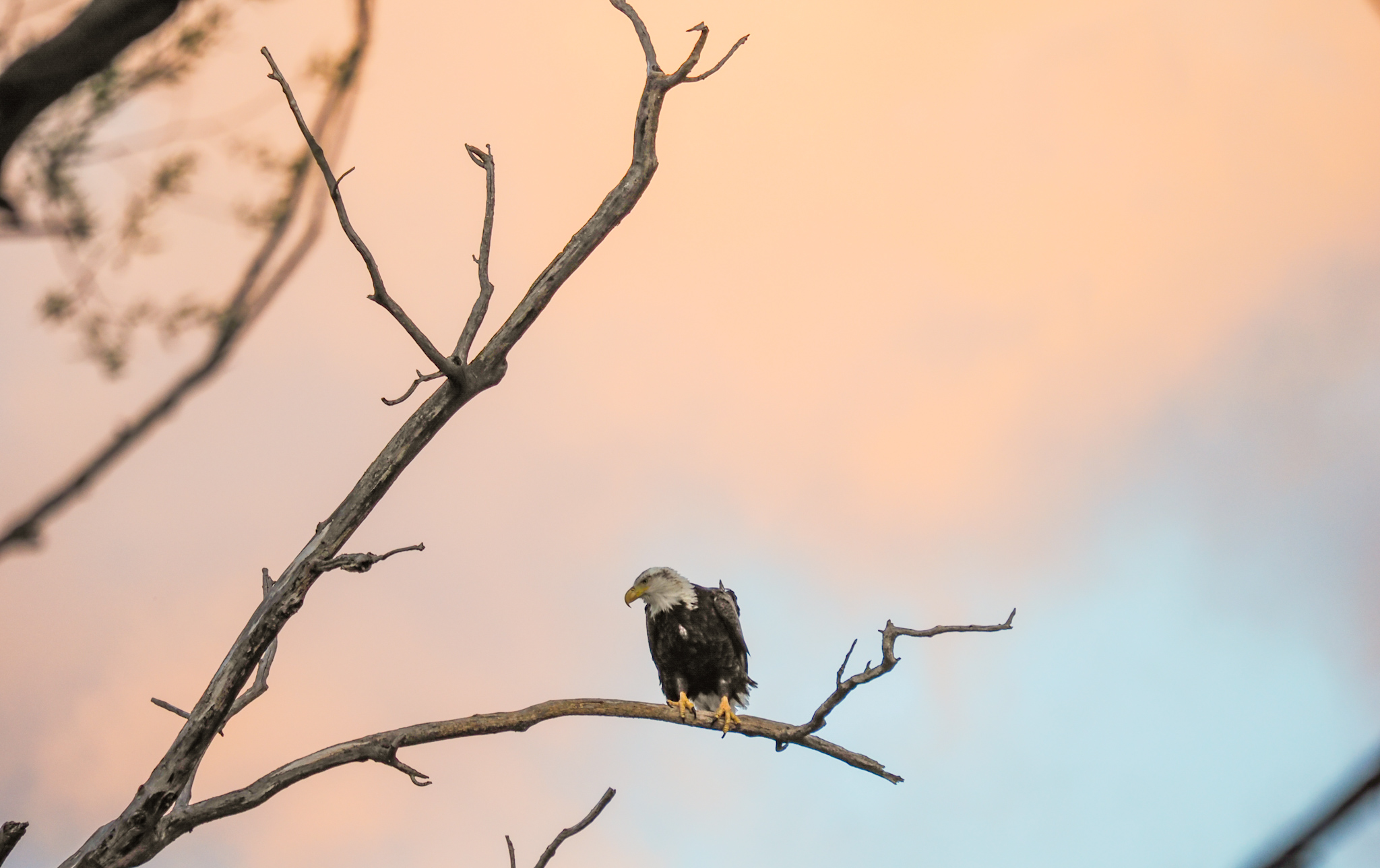
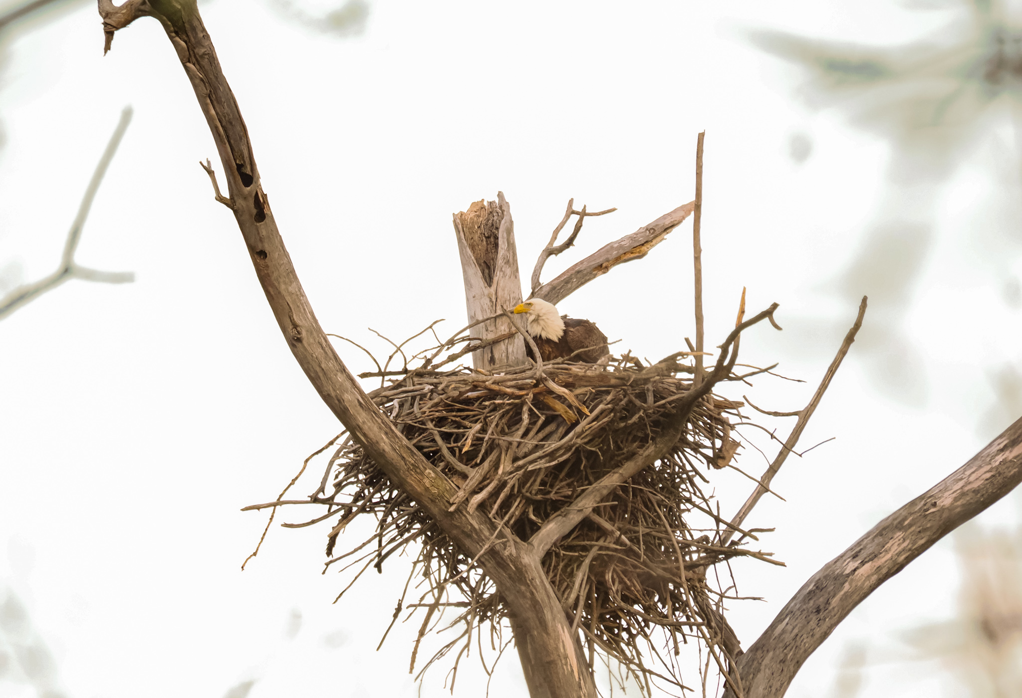
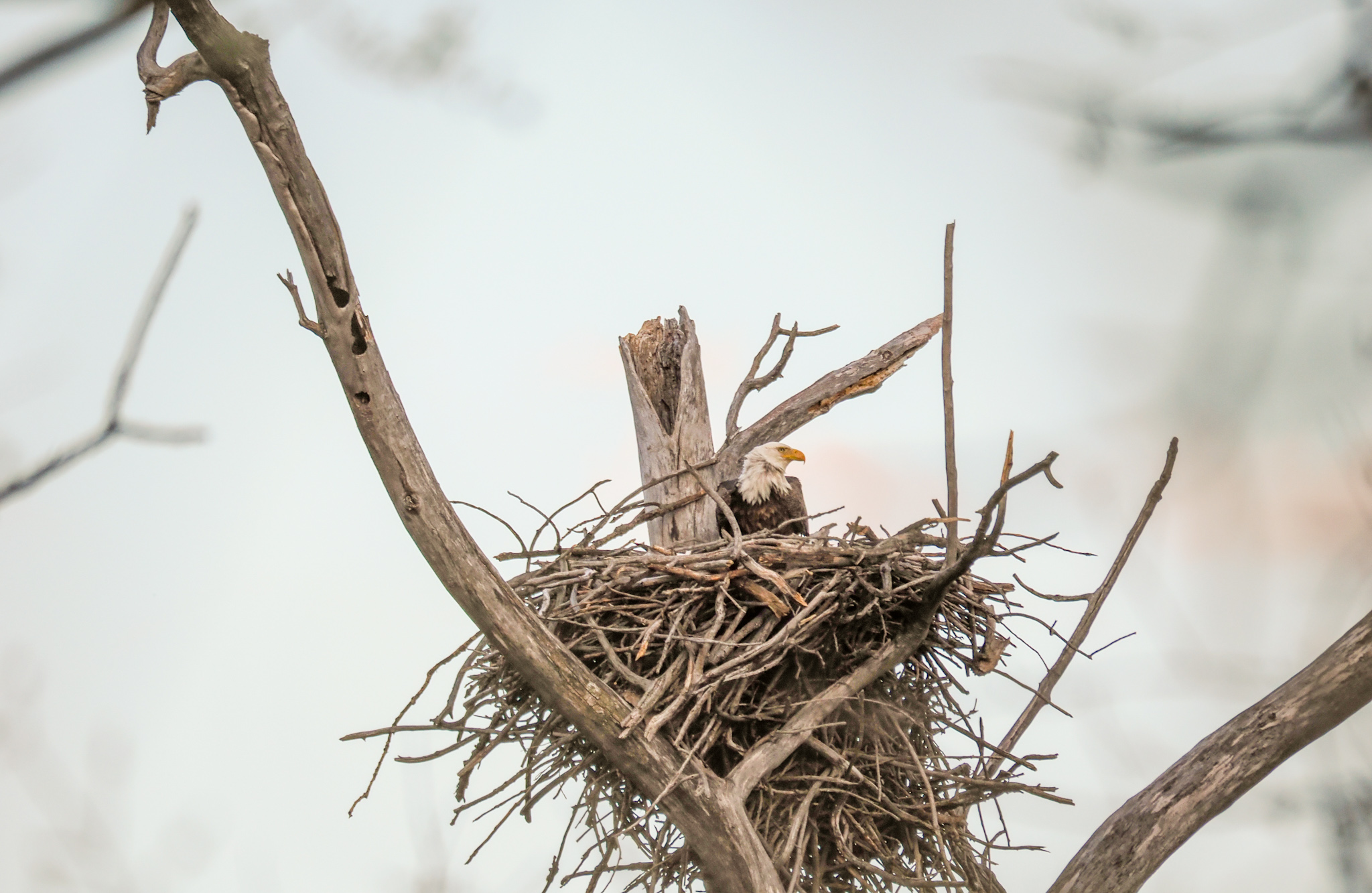
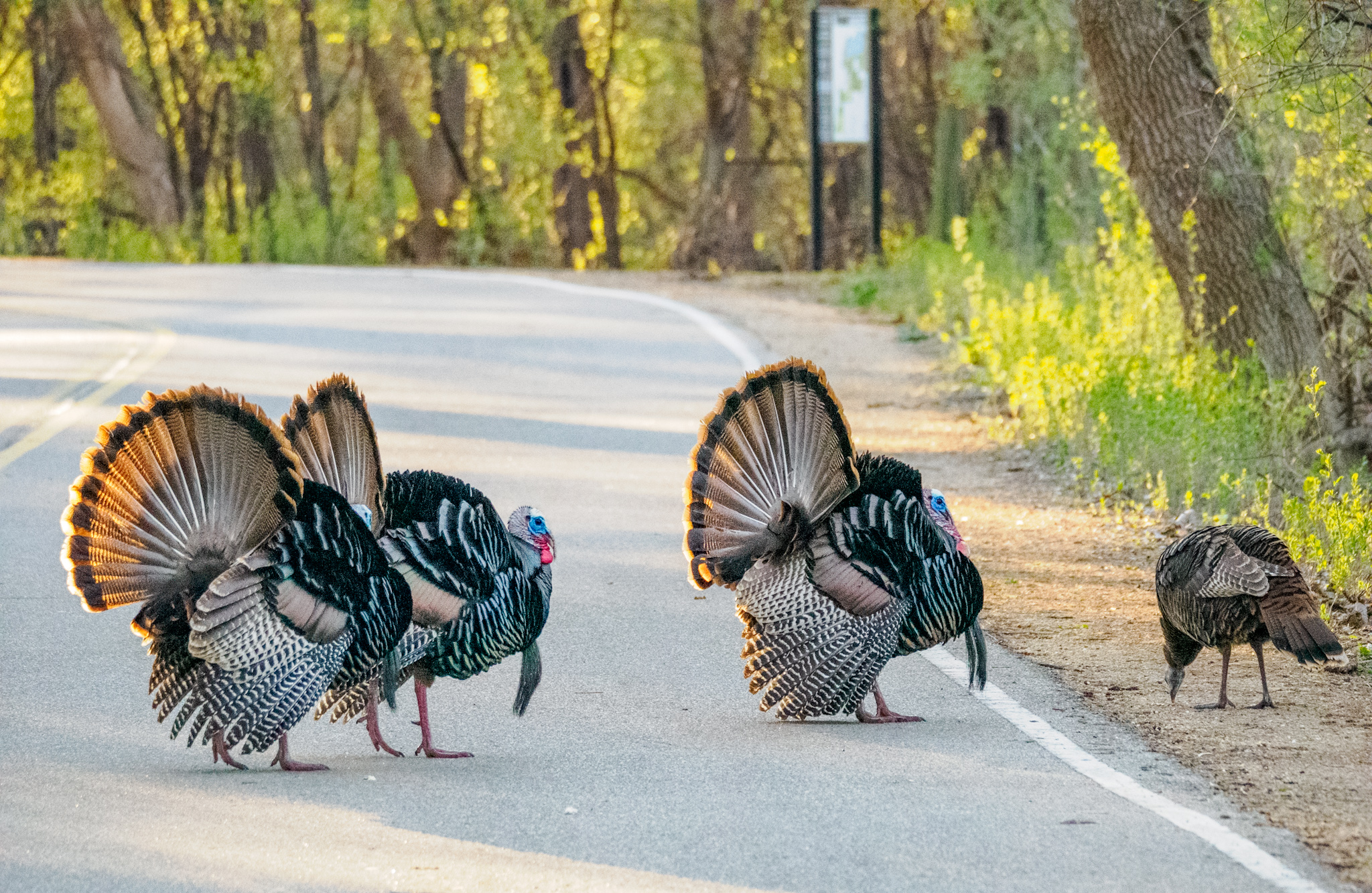
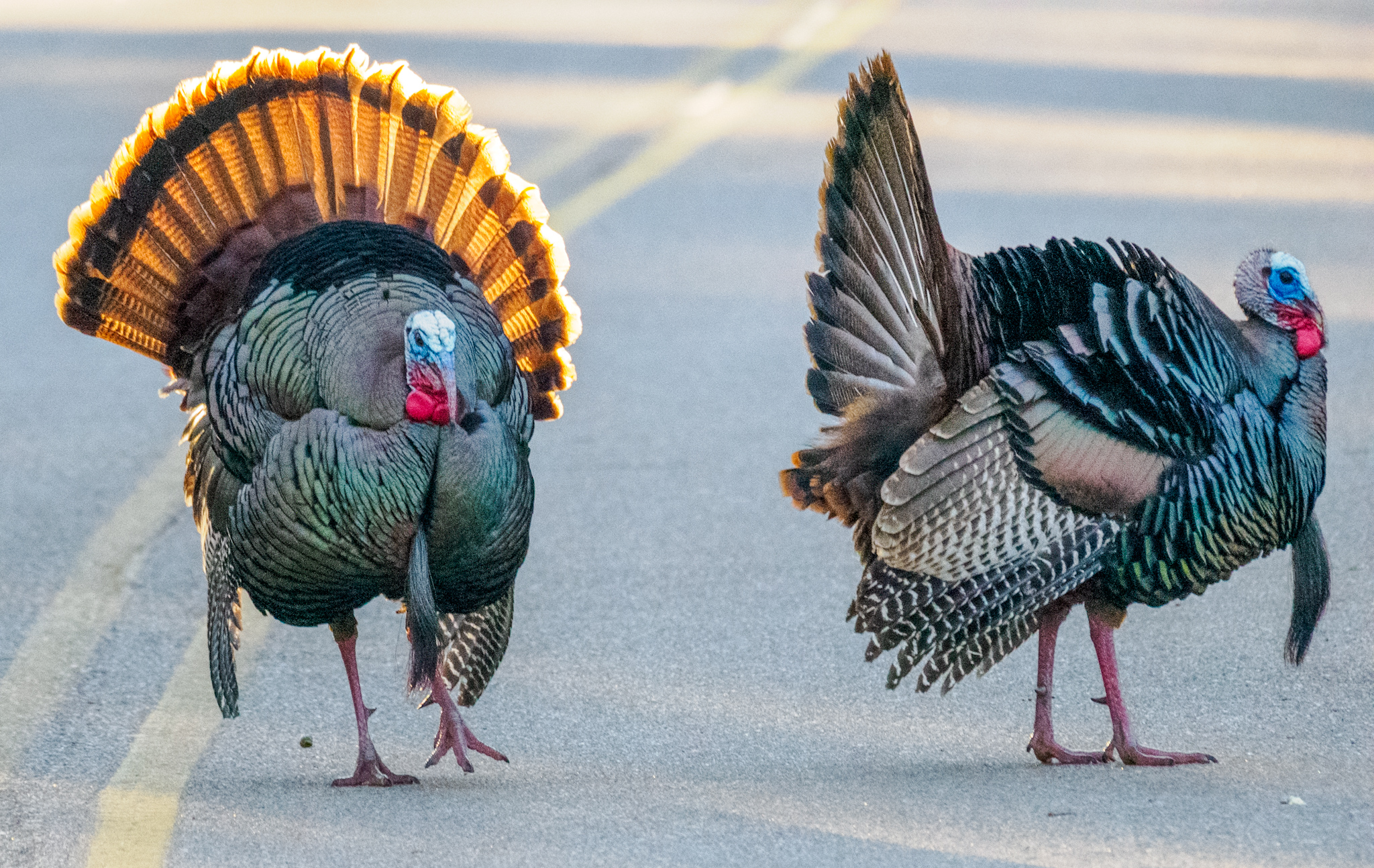
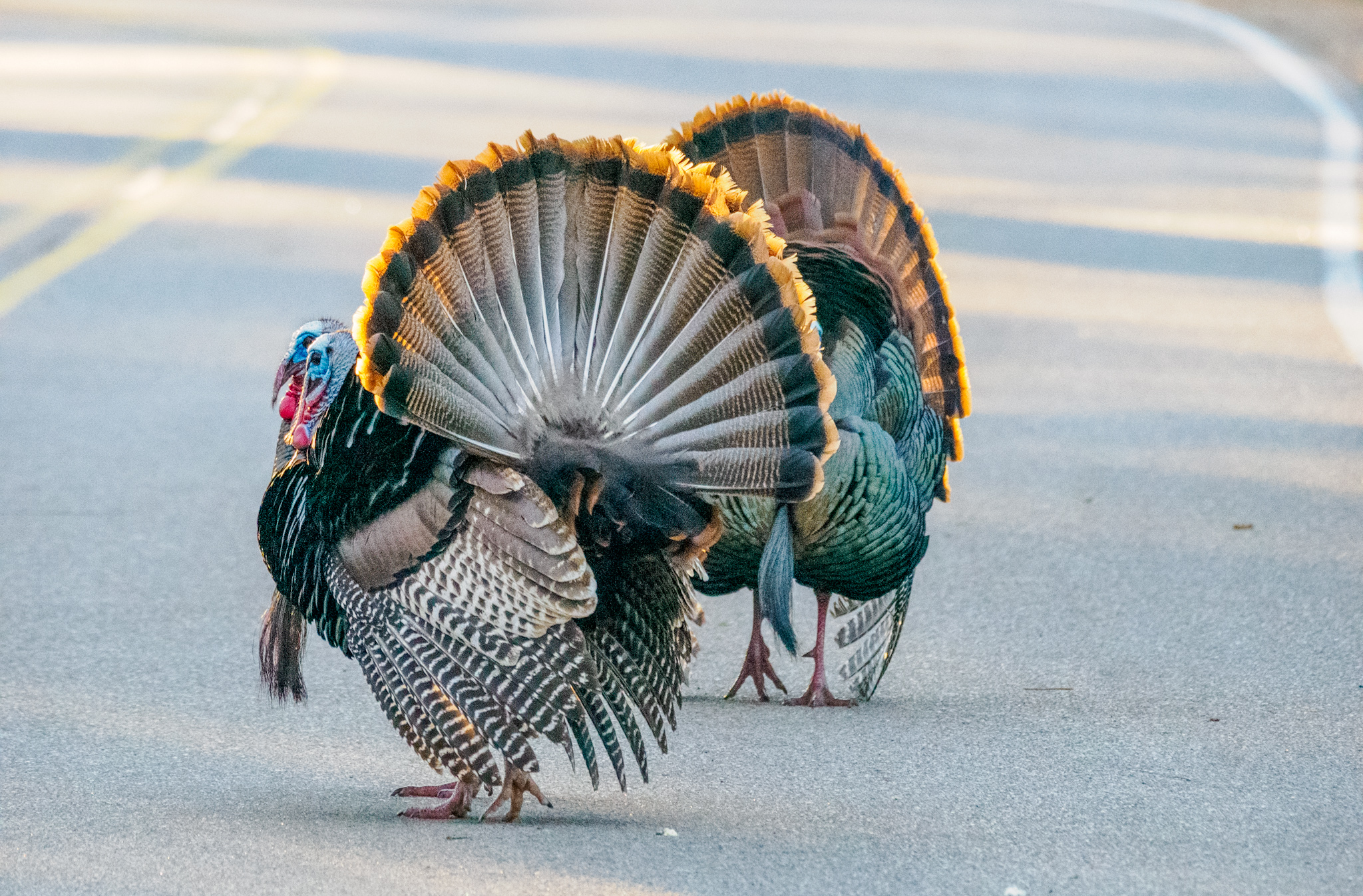
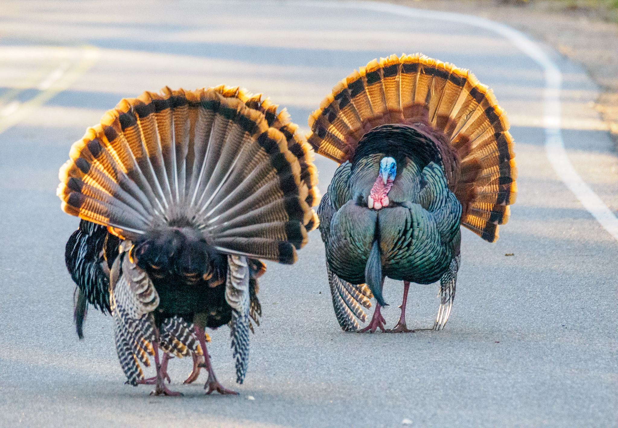
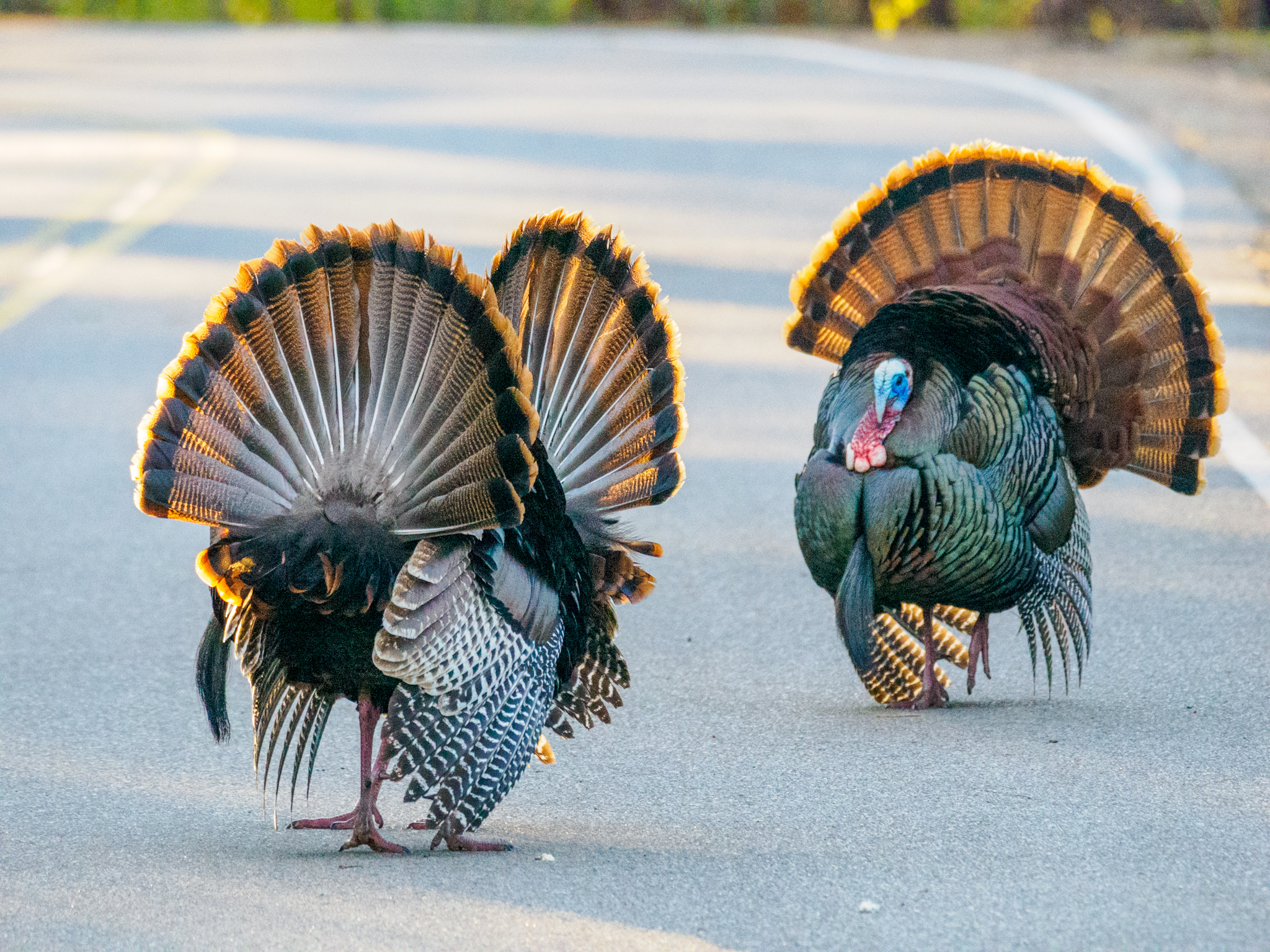
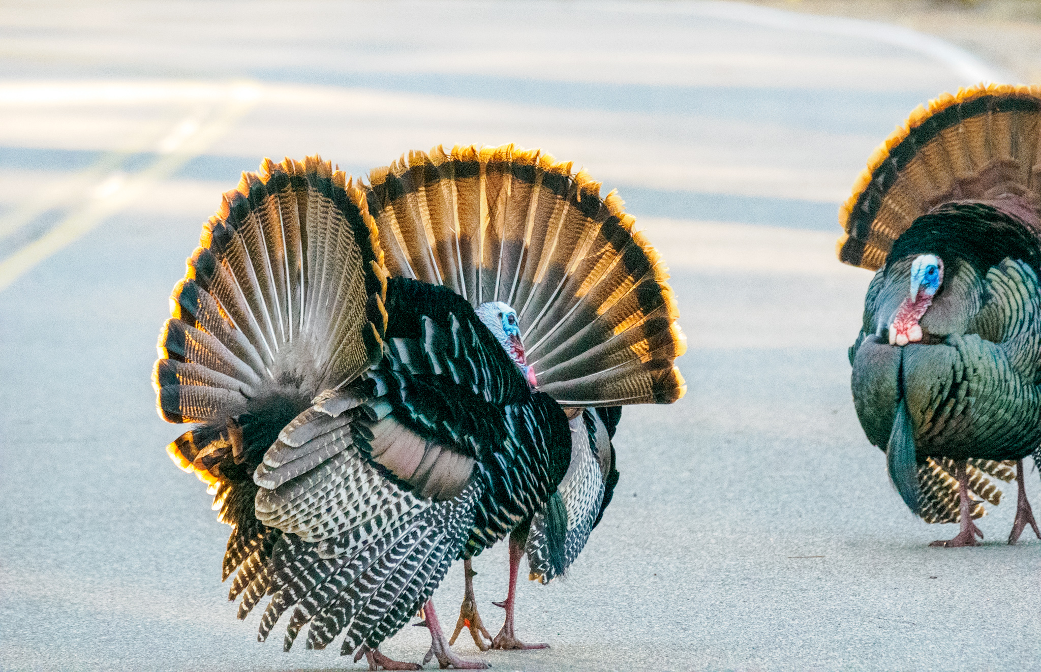
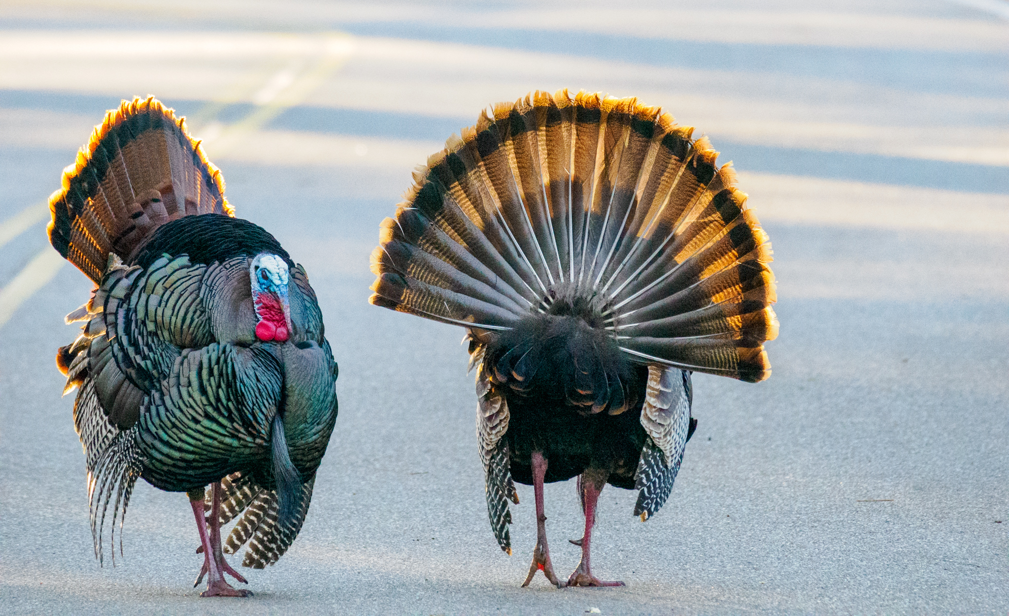
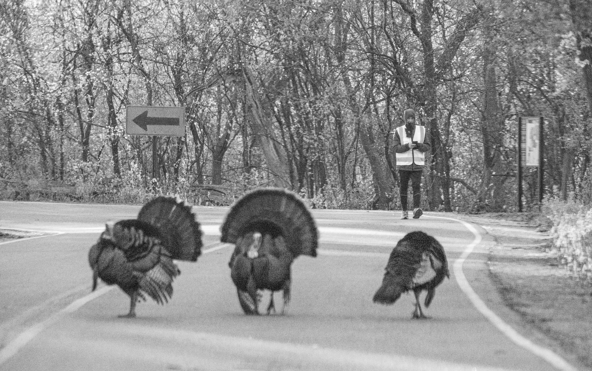
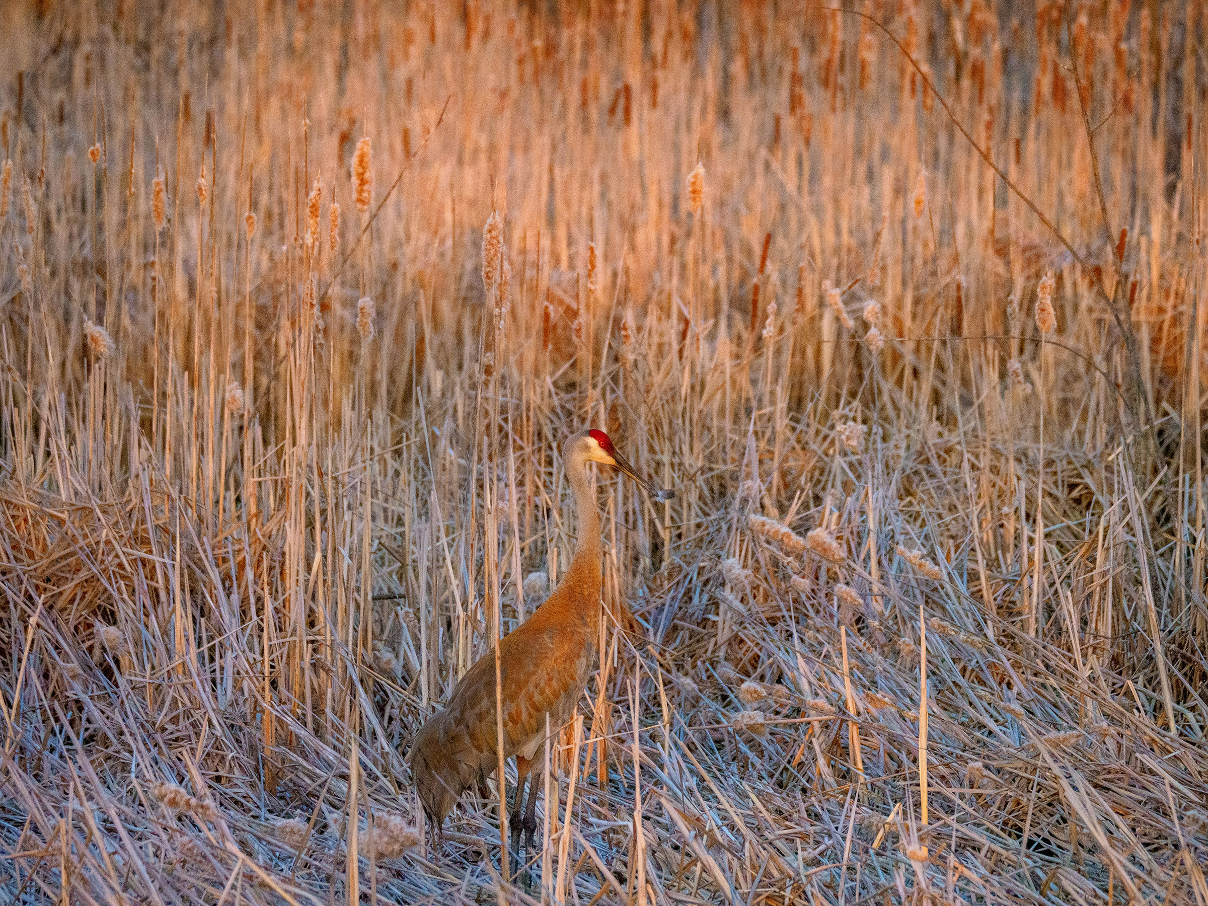
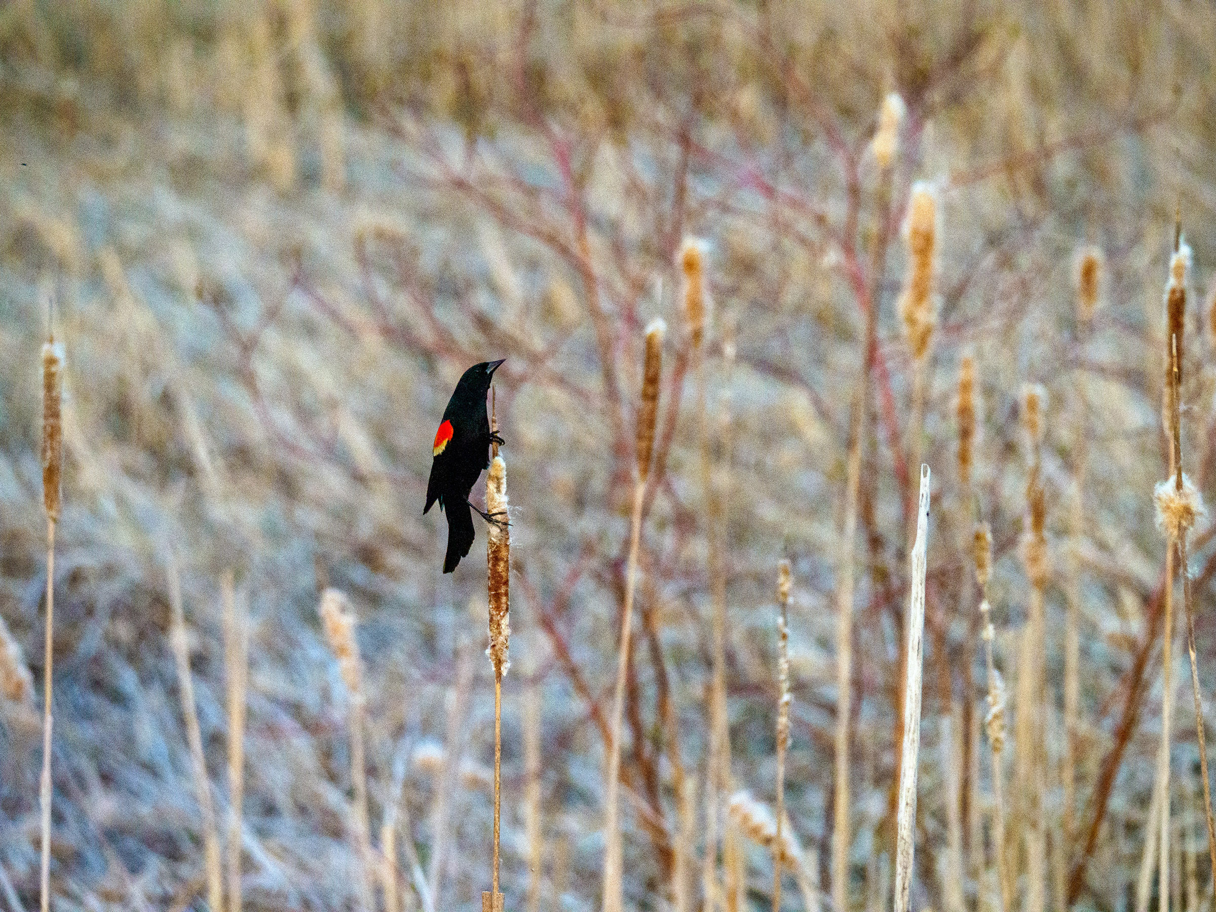
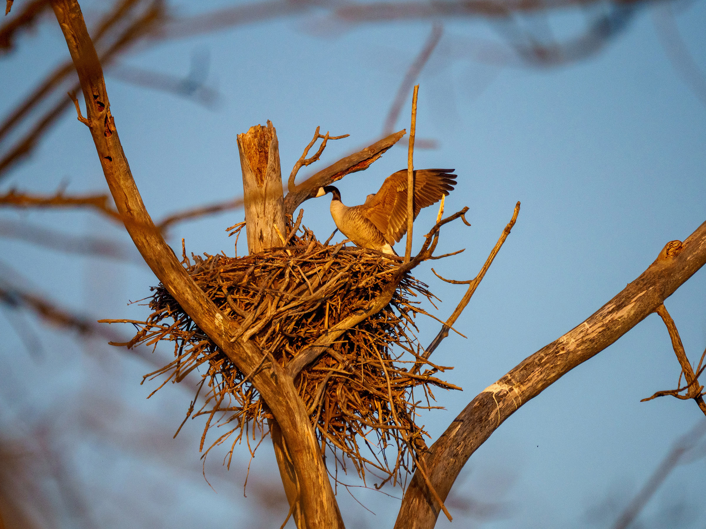
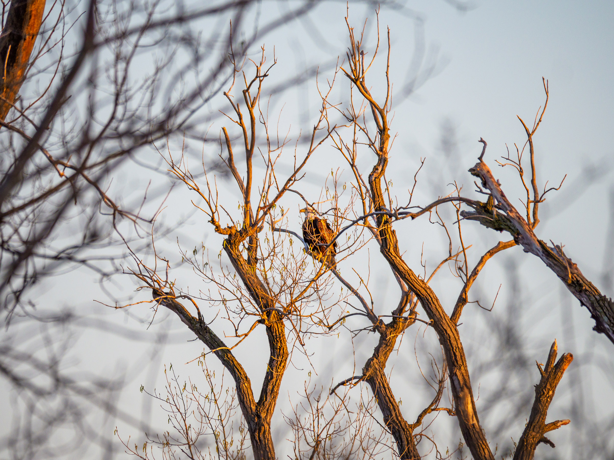
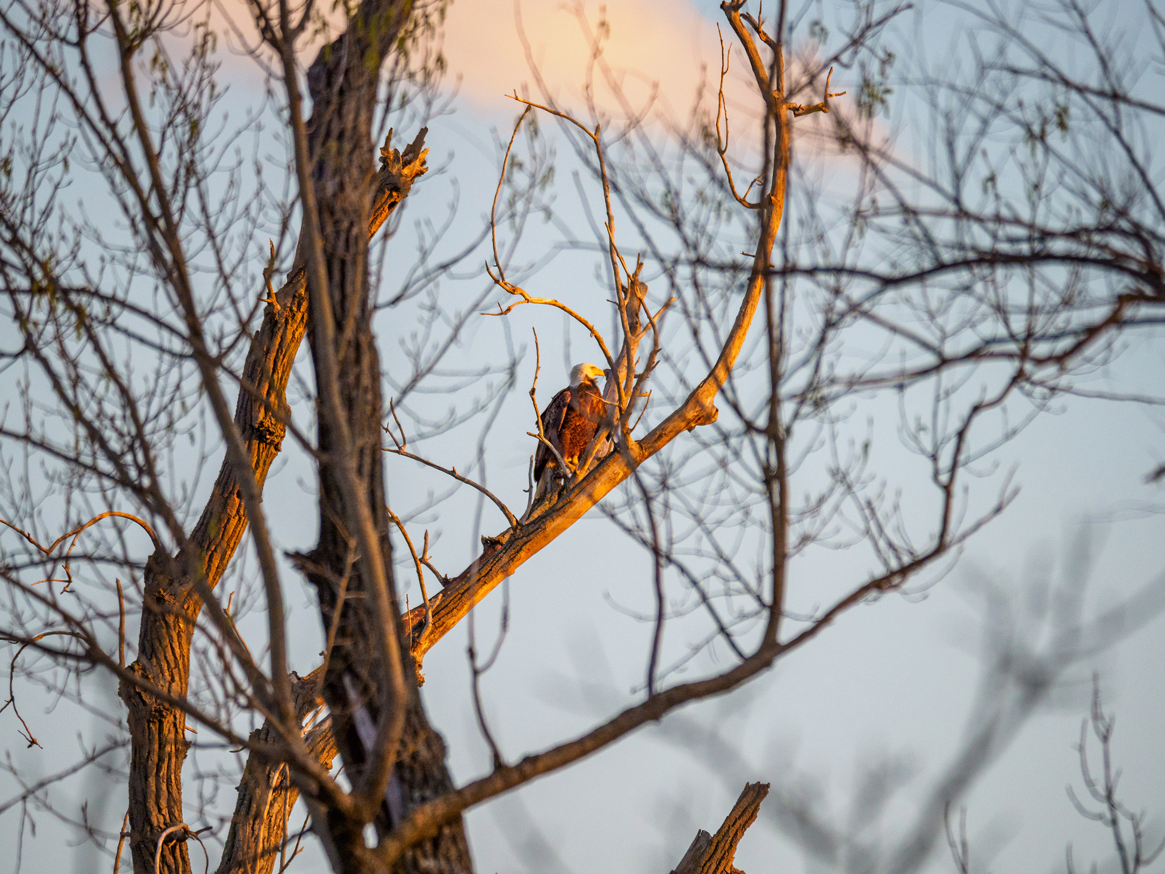
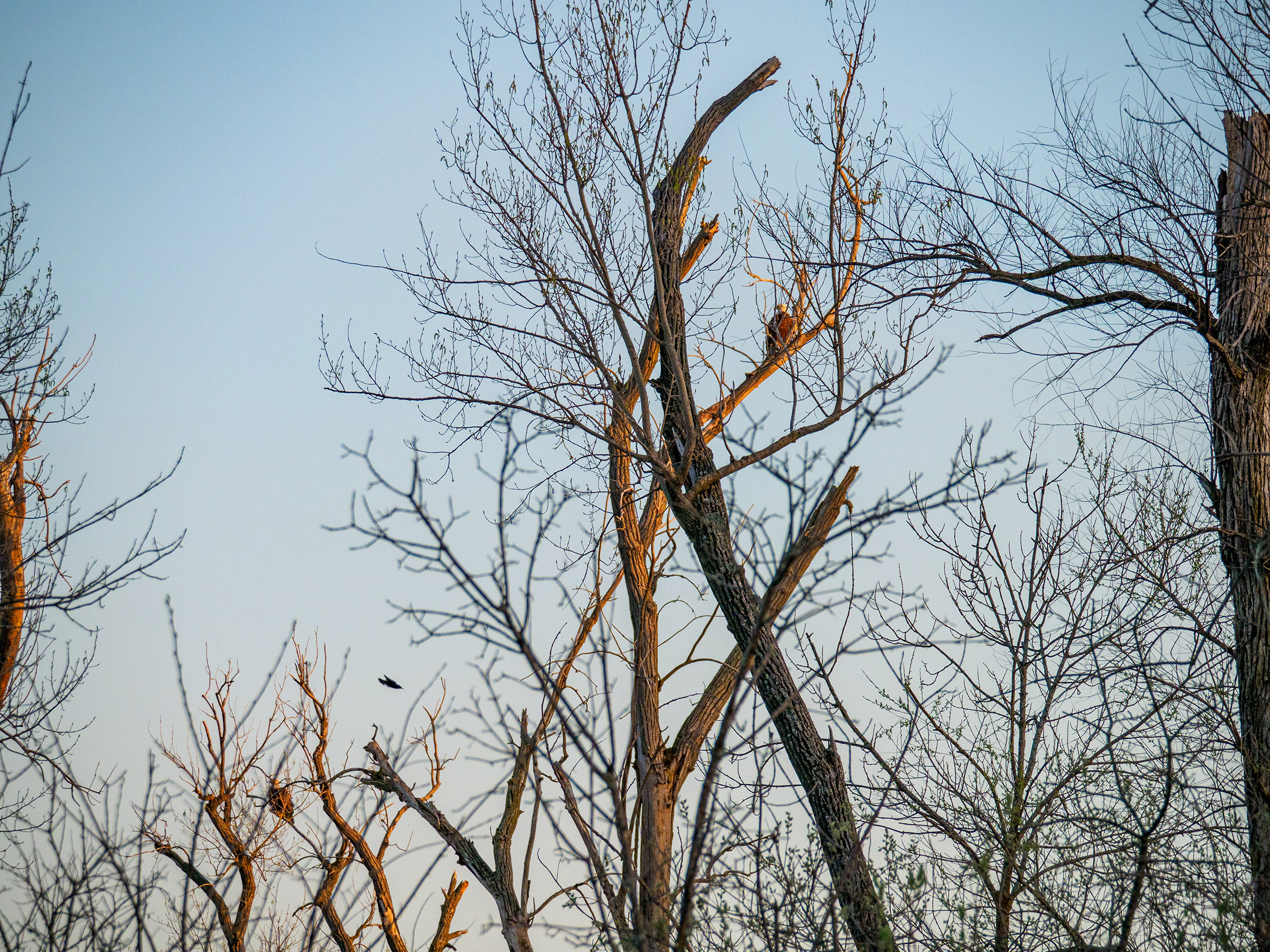
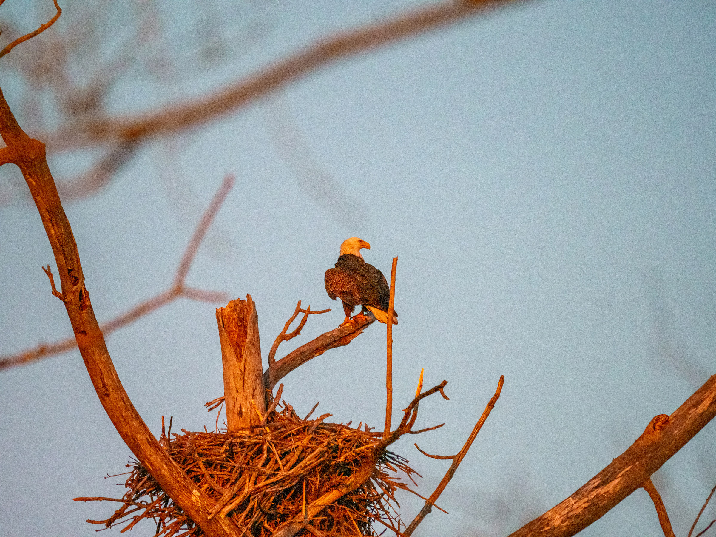
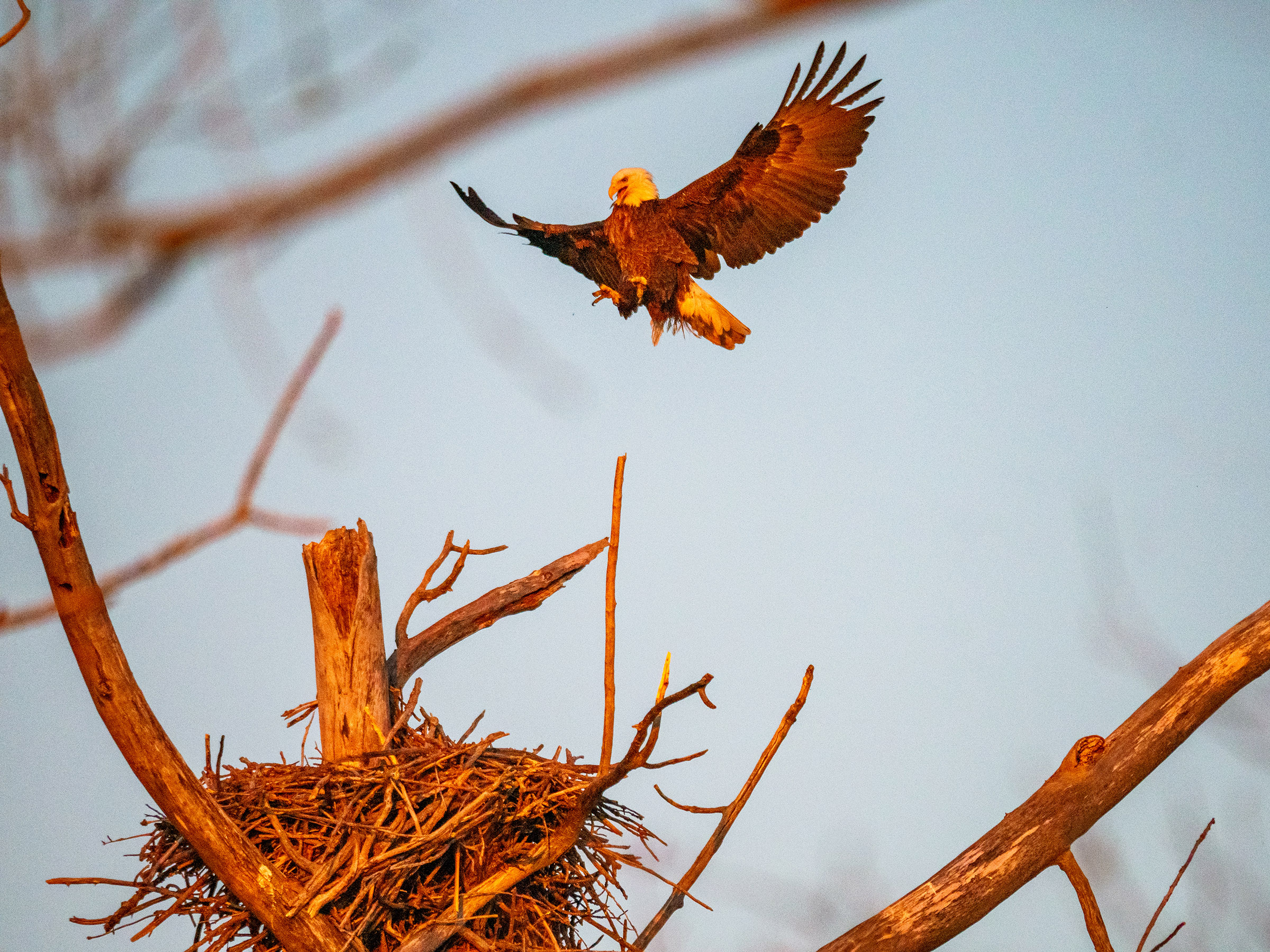
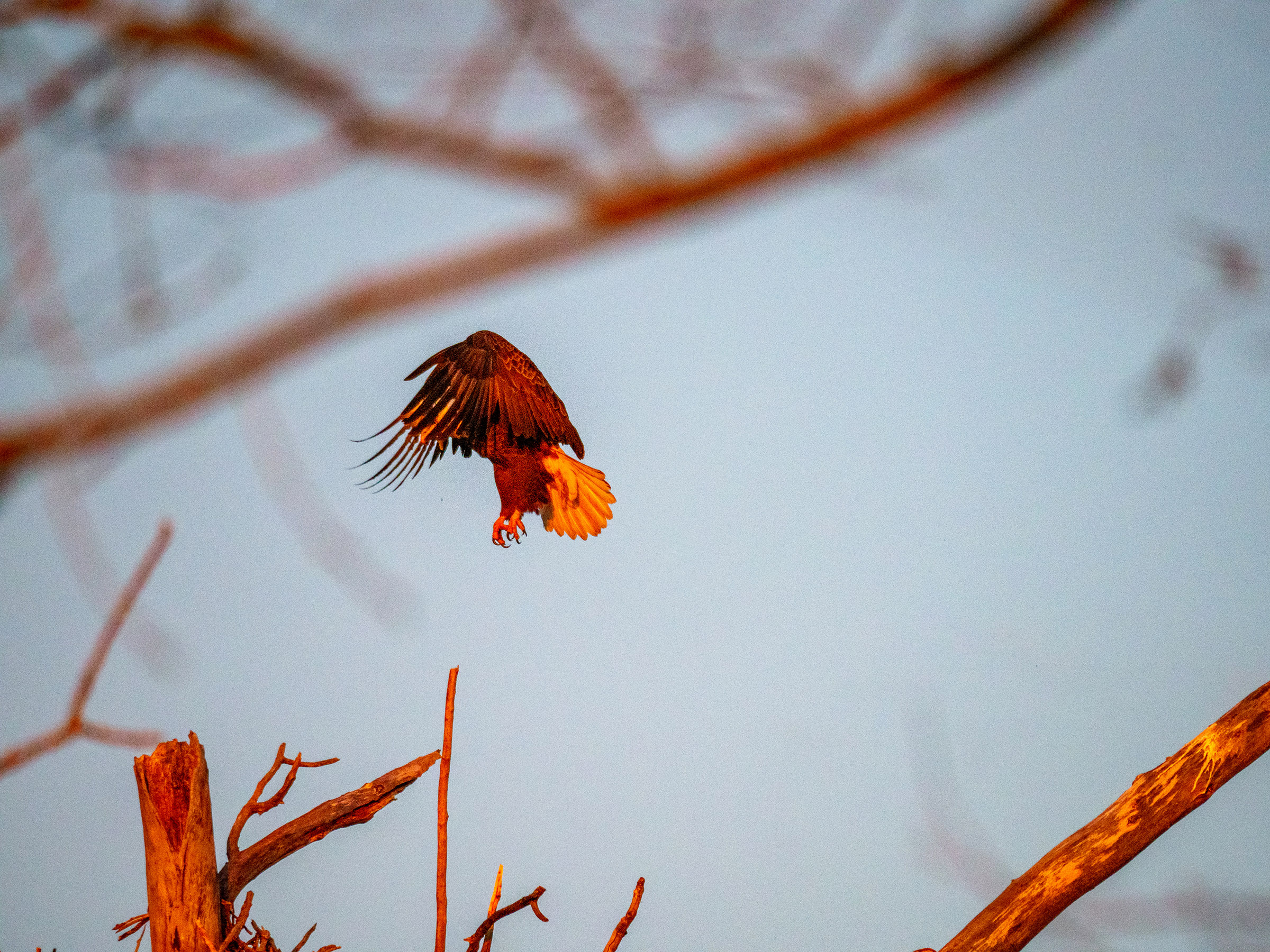
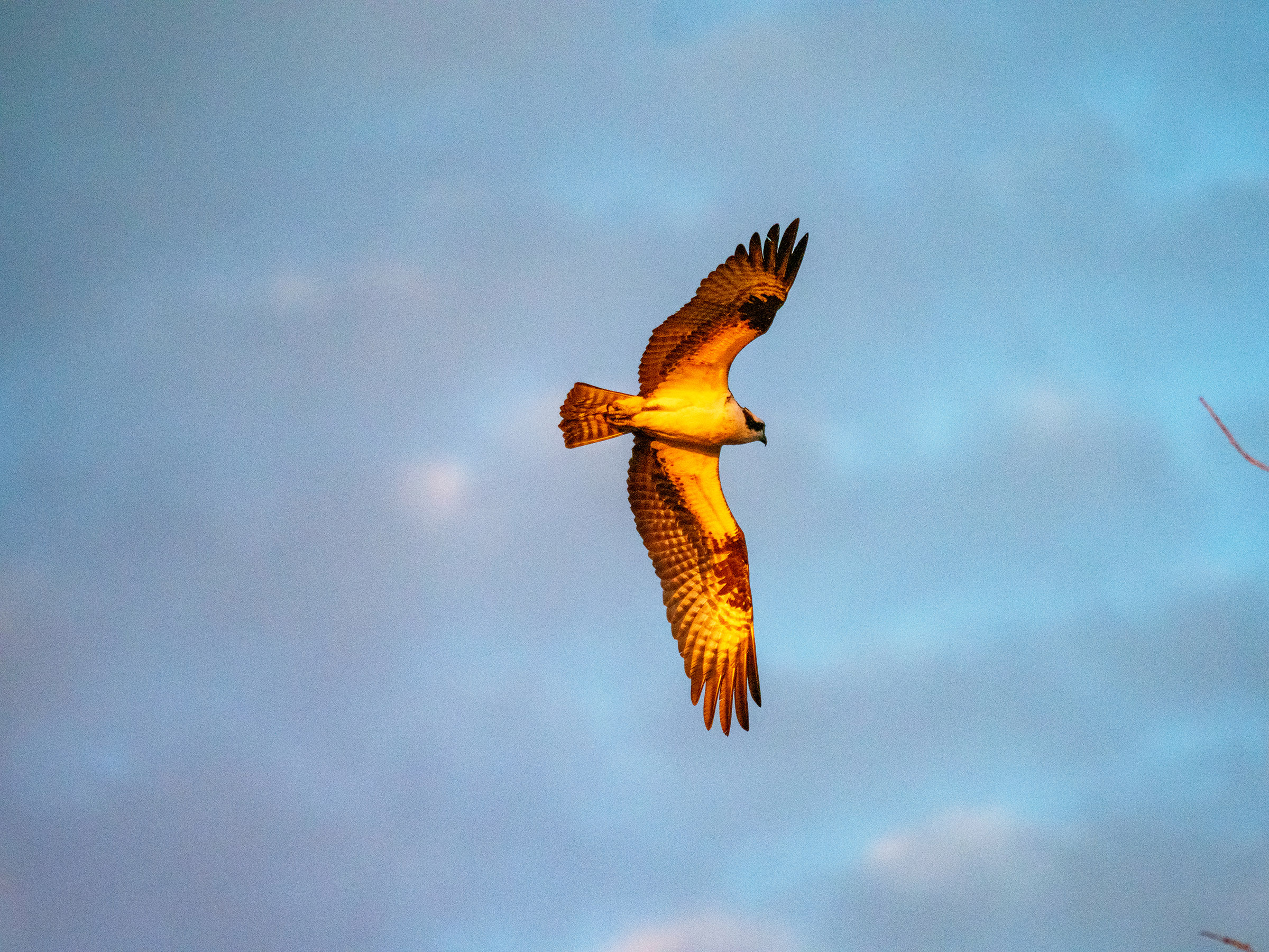
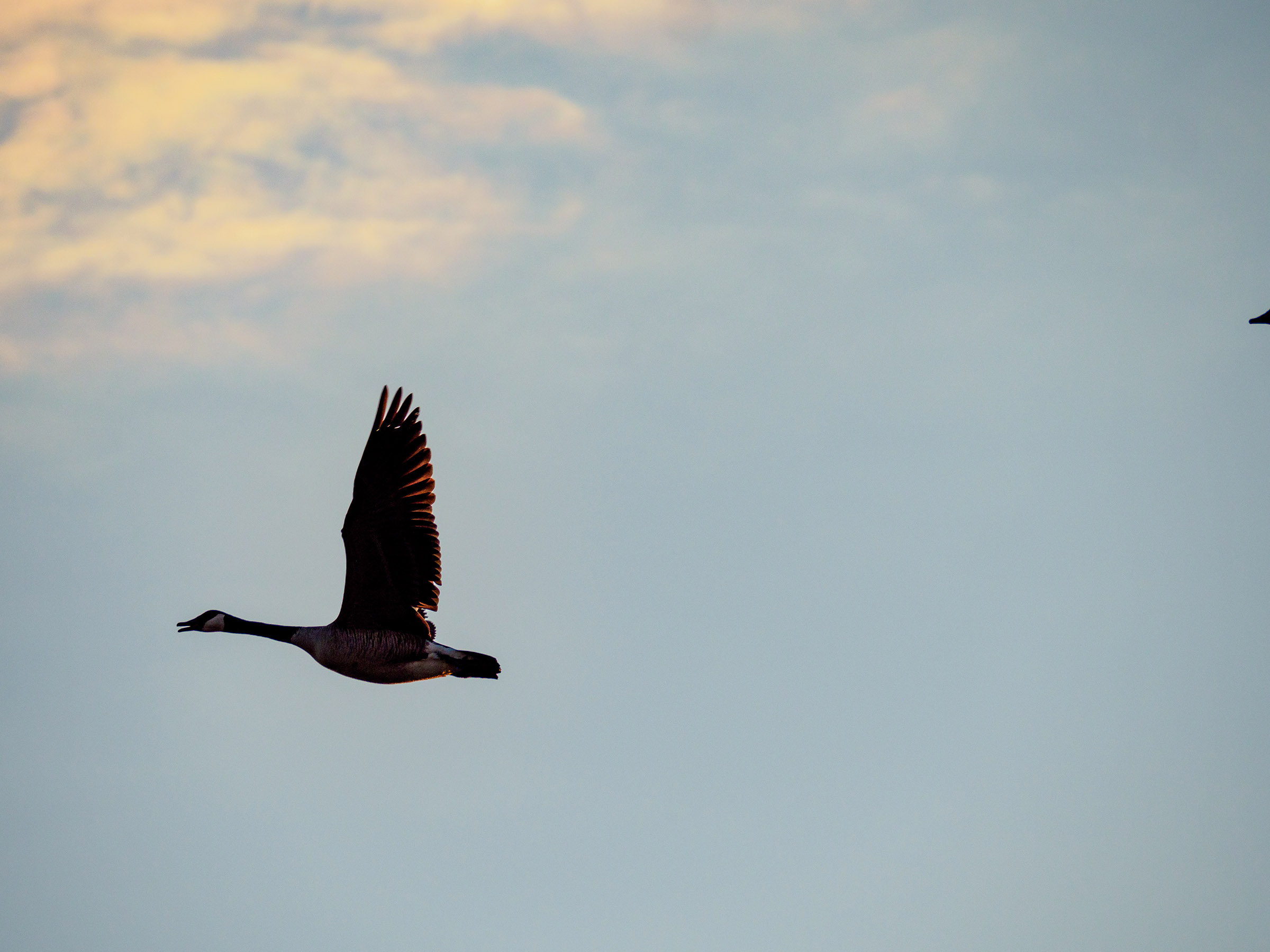
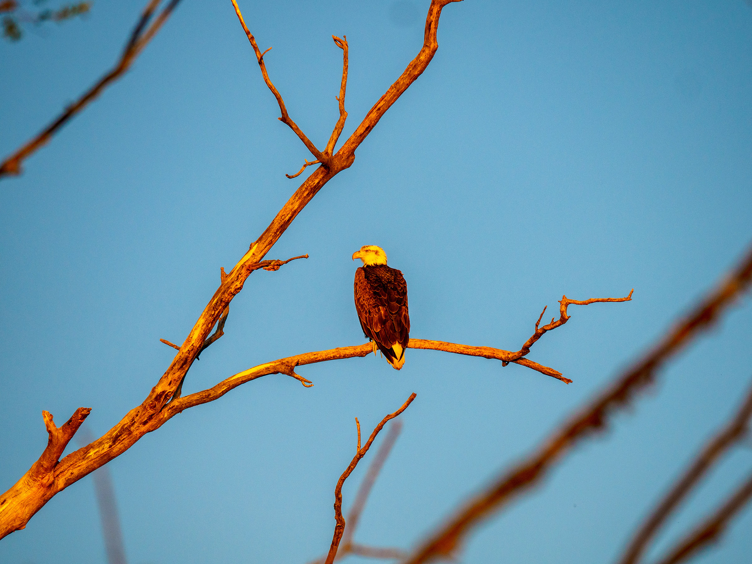
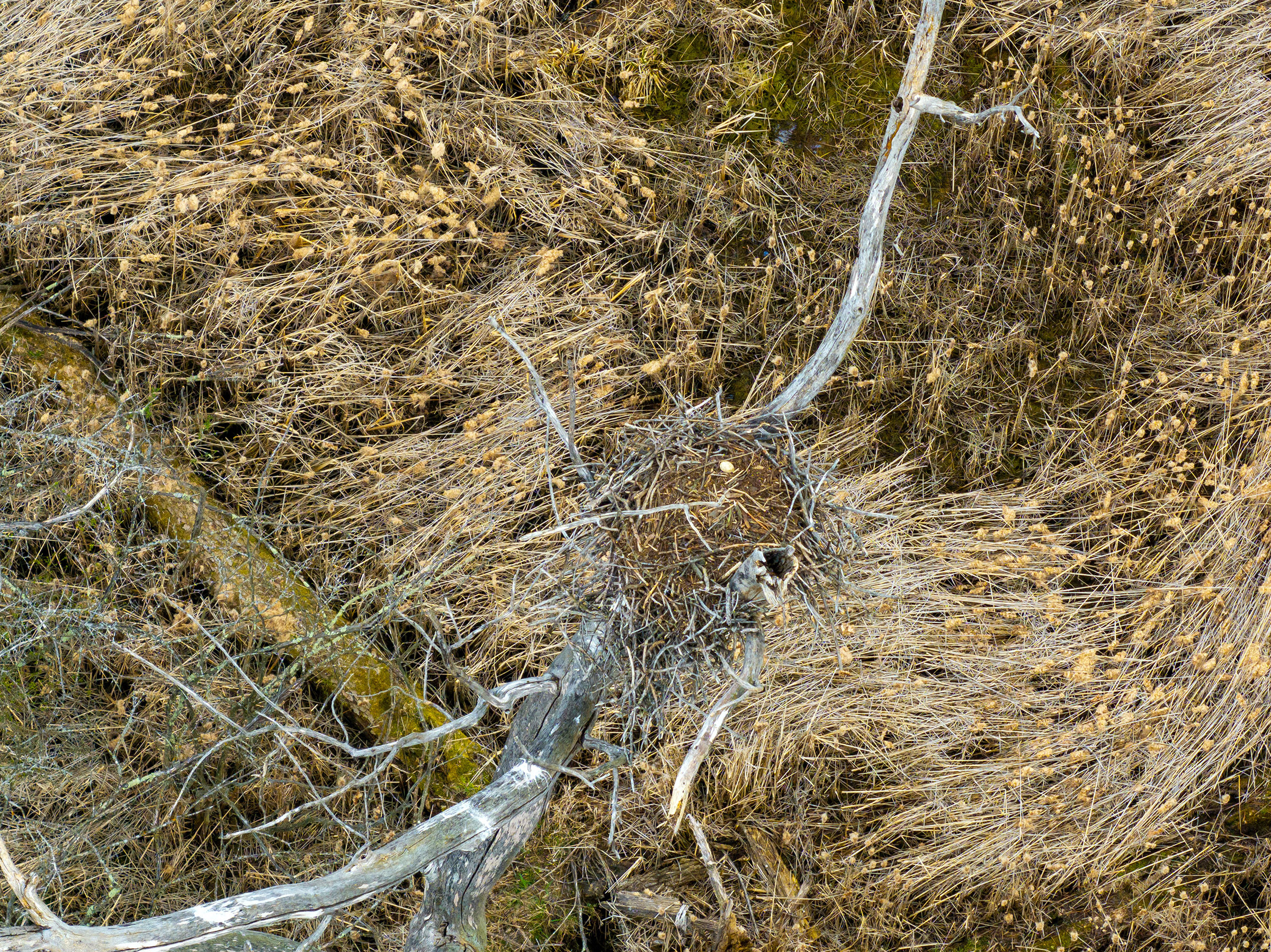
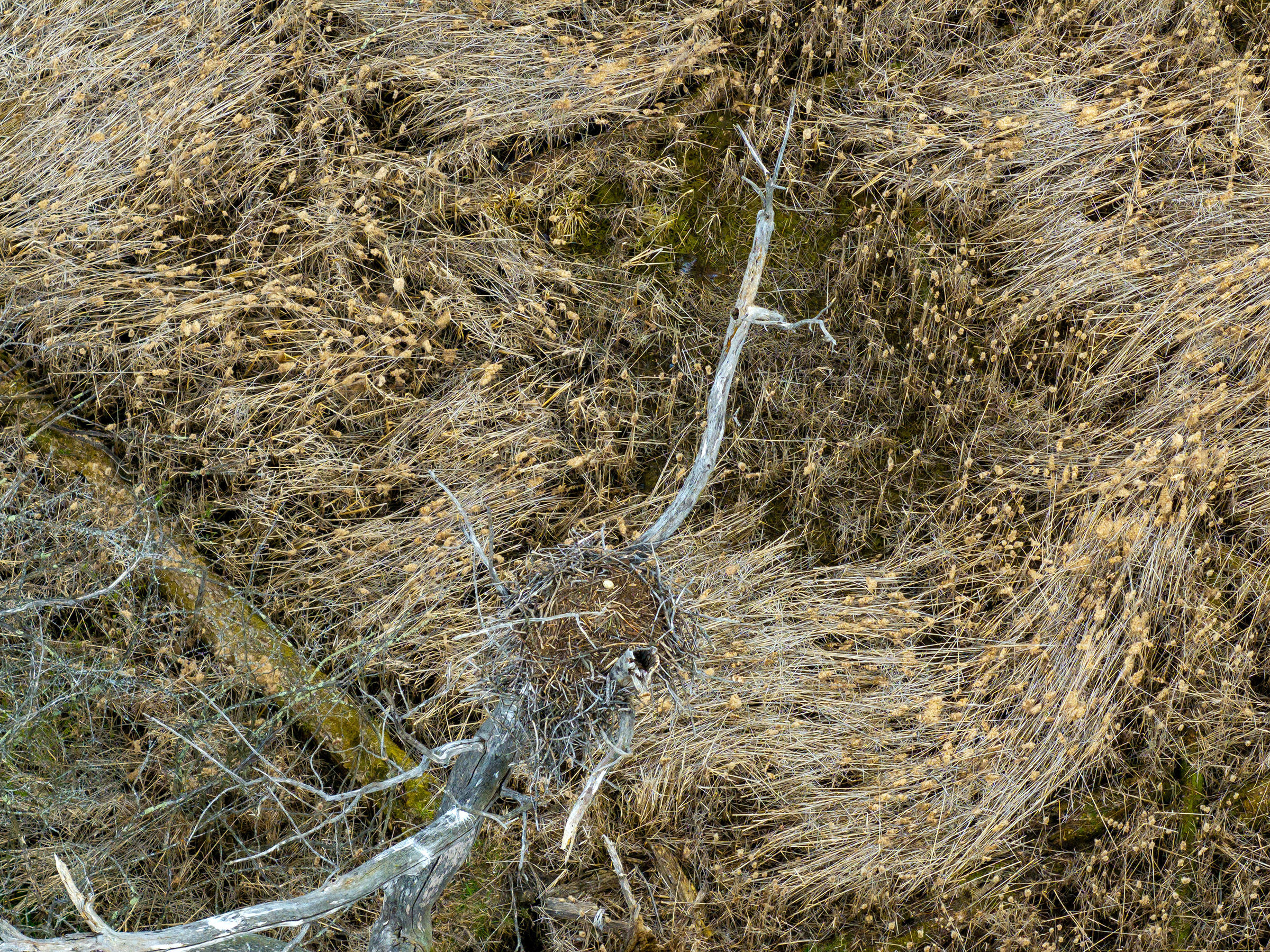
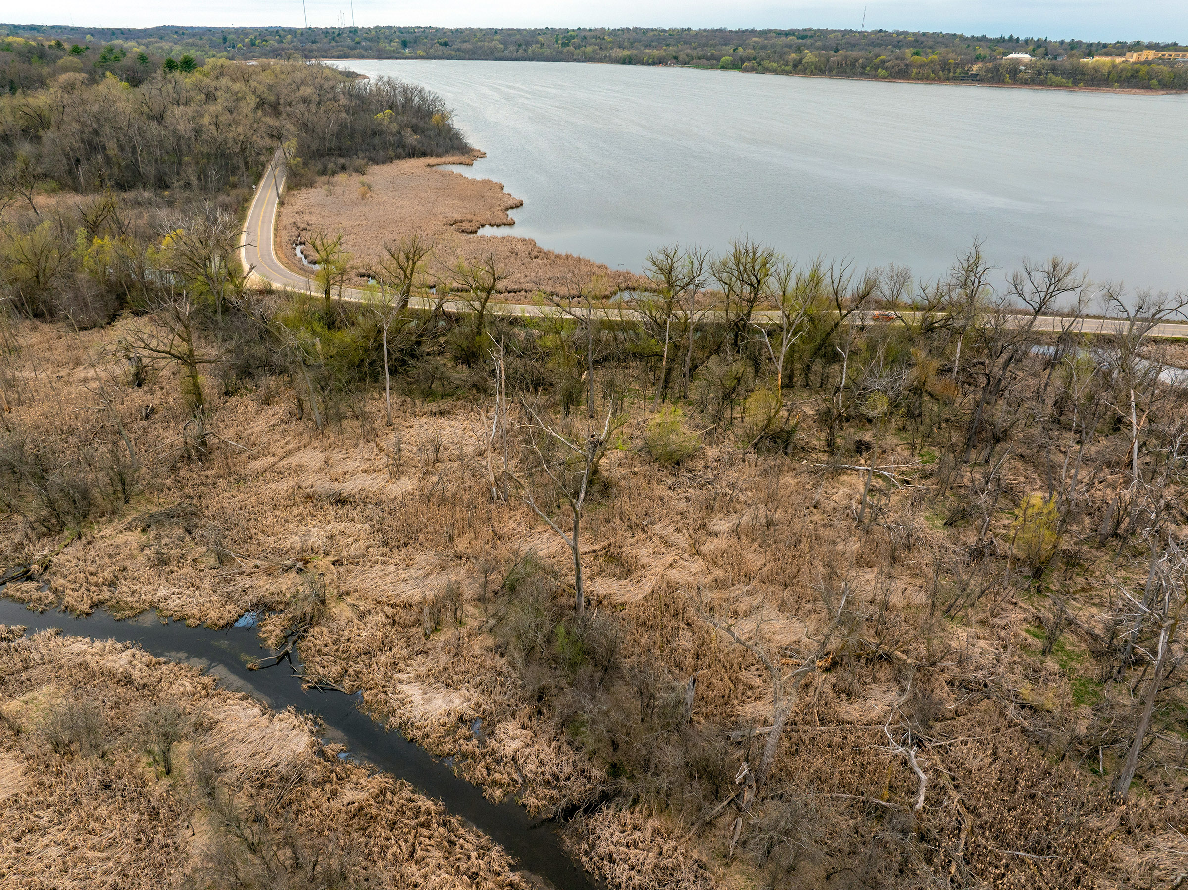
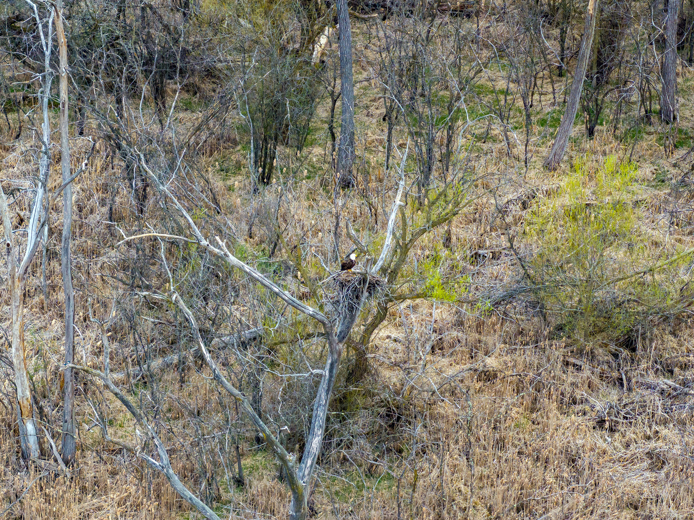
There is plenty to do in and around Alexandria [map]. Activities include fishing, water sports, golf, hiking, bird watching, camping and exploring the interesting plains landscape. The AR video above includes two nearby state parks.
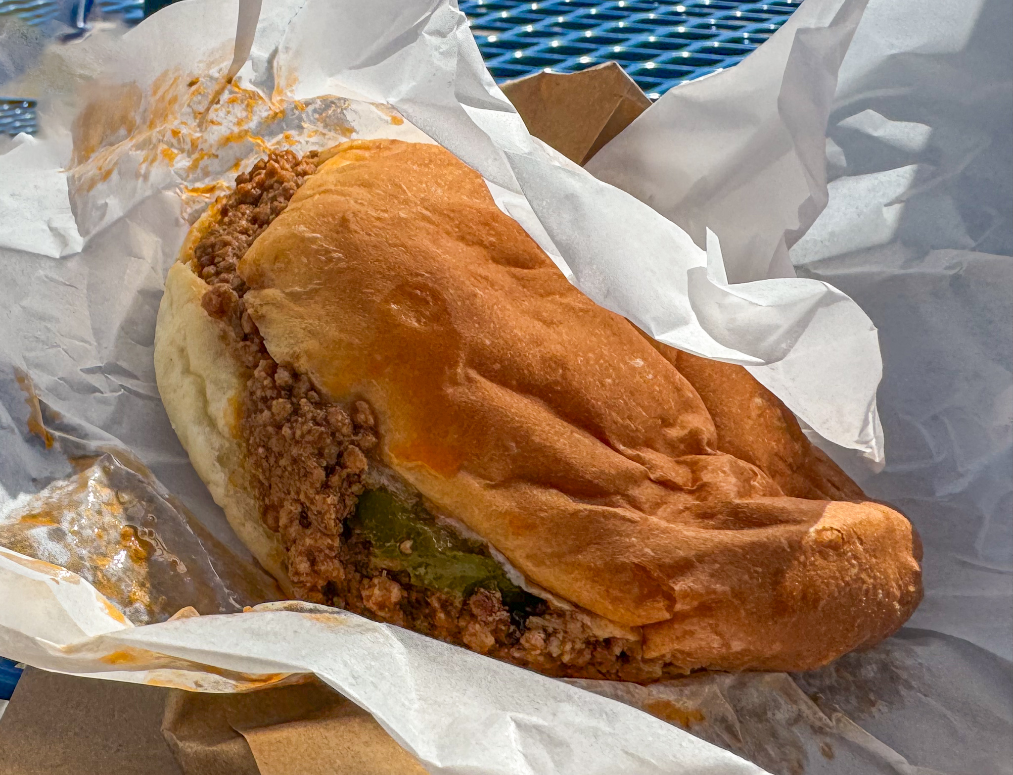
Extras

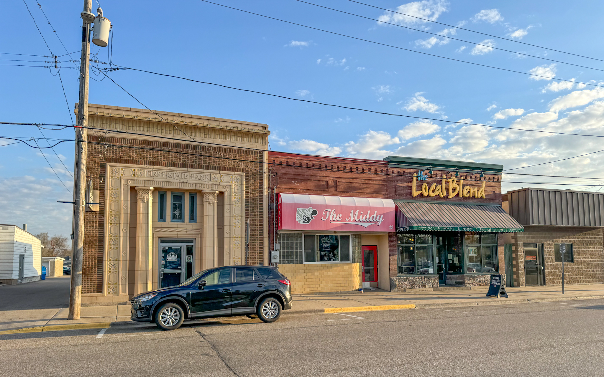
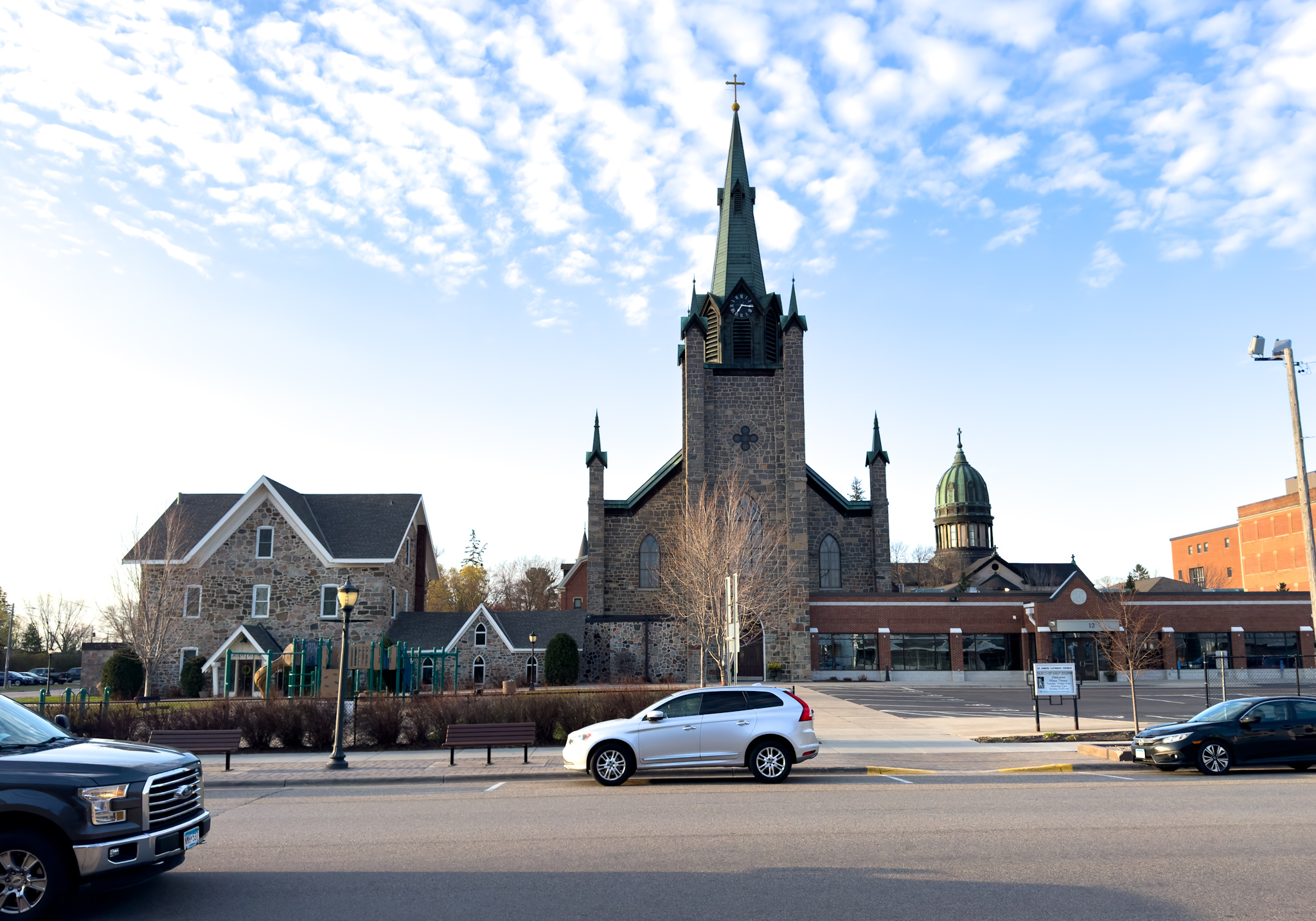
St. Joseph, Minnesota [map] is a worthy stop along the way to refuel (charge?), grab coffee or tea and explore the interesting downtown architecture and hipster signs.


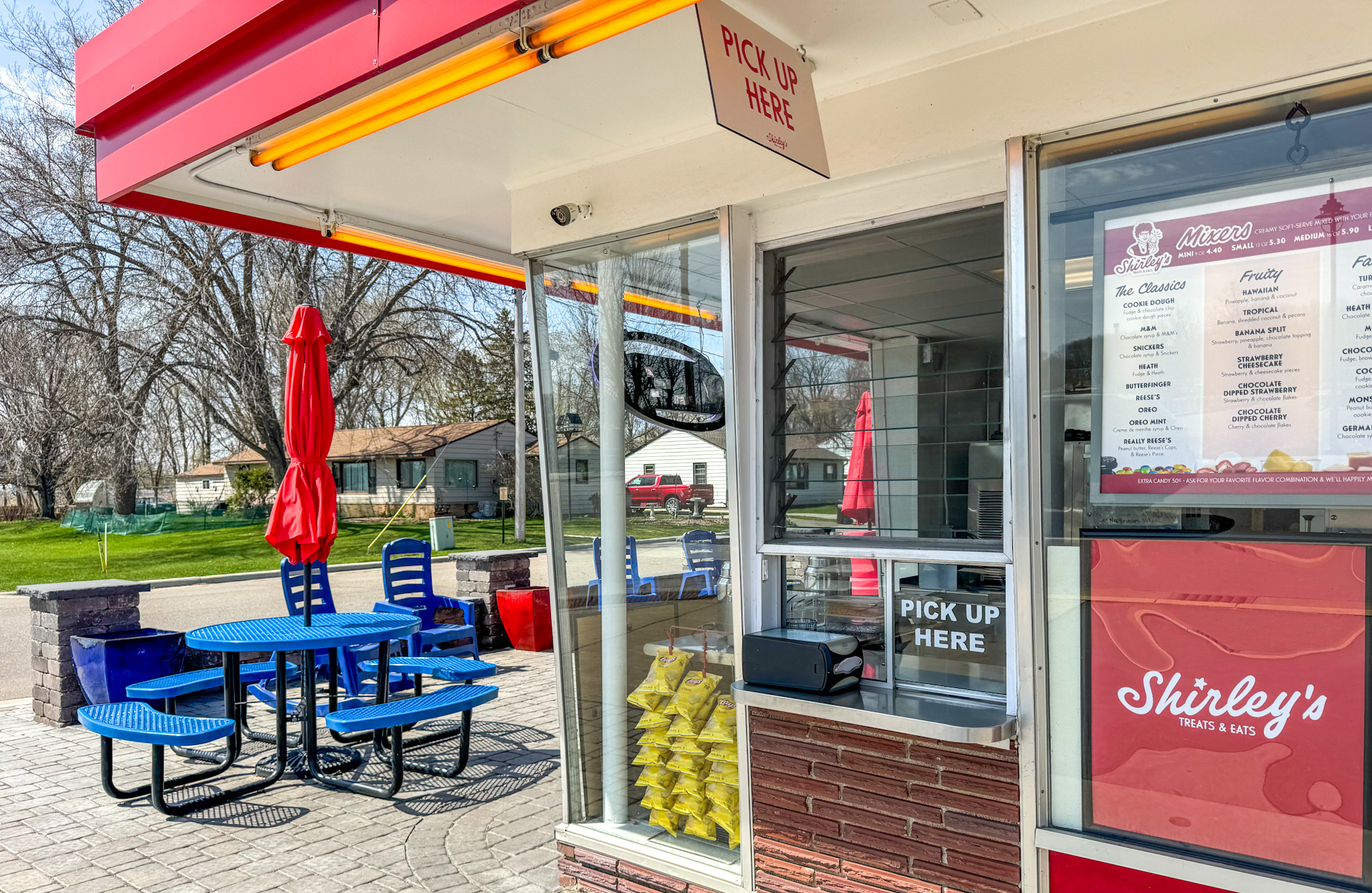
Shirley's in nearby Starbuck, Minnesota.

Phone wallpaper bird scenes, mostly taken near Alexandria:


Wednesday, April 24, 2024

Crete and more

I was recently asked about Greece. This AR* video offers a glimpse of our route:


Crete - Olympos - Rhodes - Athens - Hydra.

Those interested in a deeper dive can check out the amuz app on Android, iOS, Mac and visionOS. Navigate the map to Greece and tap play, sleep or eat / drink to explore deeply.

Enjoy!

* amuz AR (Augmented Reality) scenes recorded at Mother Fools Coffee House Madison, WI USA


Monday, April 15, 2024

A World War 2 AR Survey from the Robinson Map Library

I have always loved maps. Starting with paper maps, indeed the old Rand McNally guides and AAA trip tiks, discovery as our family drove here and there was a blast.

Today, of course, interesting maps are often just a tap away. Yet, there is something desirable about tactile experiences - something the University of Wisconsin's Robinson Map Library offers at scale. Further, the Library's namesake Arthur Robinson brought an interesting past to his work at the University of Wisconsin:
It’s no coincidence that the post-war era is when Robinson began leaving his mark at UW-Madison.

After heading the map division for the Office of Strategic Services (the forerunner to the CIA) during World War II, and overseeing the drawing of some 5,000 maps for the military, the Canadian-born Robinson came to the geography department. He taught courses in cartography and physical geography from 1945 until his retirement in 1980.

Due to Robinson’s efforts, the department established bachelor’s and master’s degree programs in cartography and named the Map Library after him in 1982.
Explore a number of World War 2 museums in Augmented Reality (AR) from the Robinson Map Library: