amuz
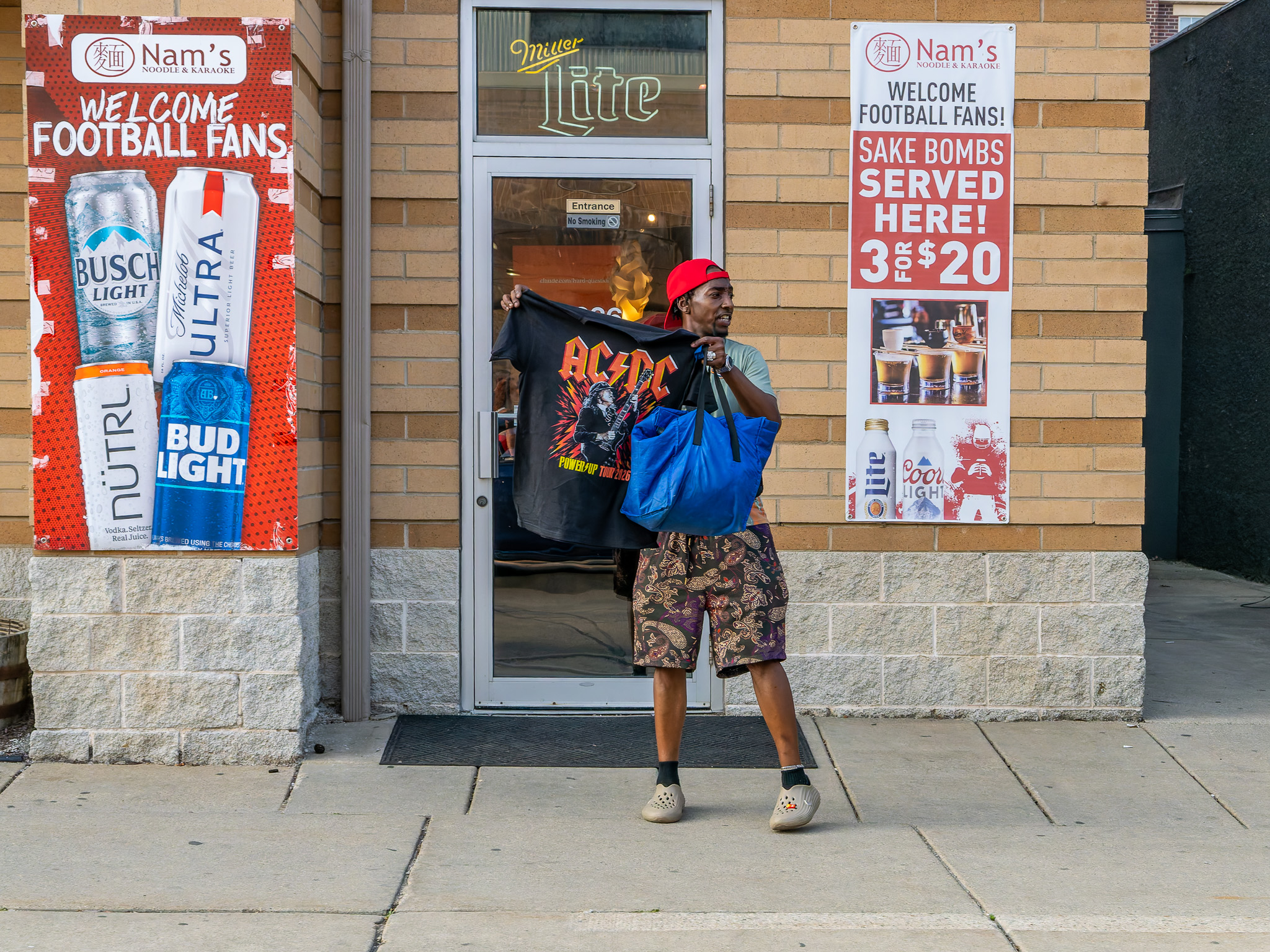
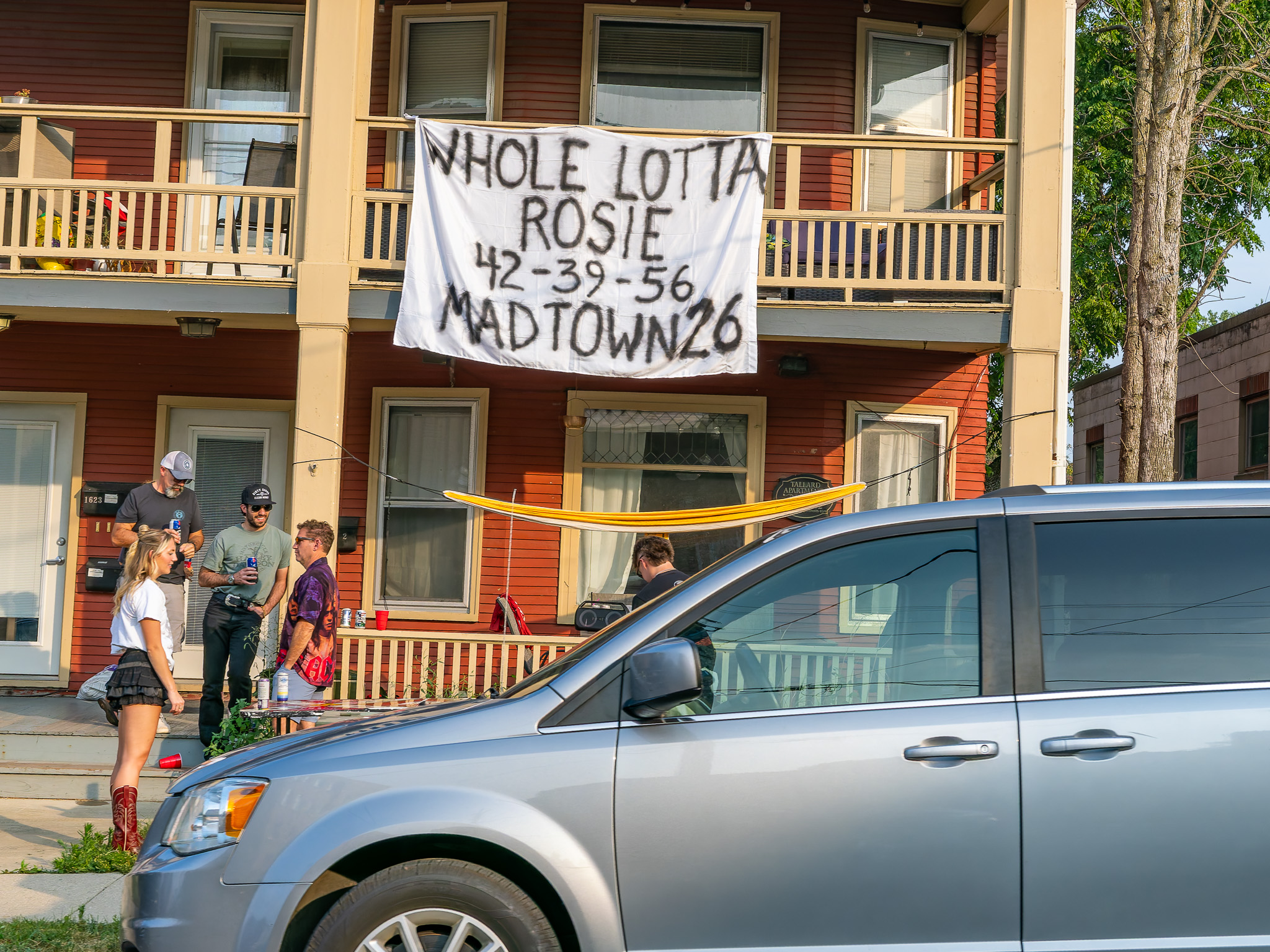
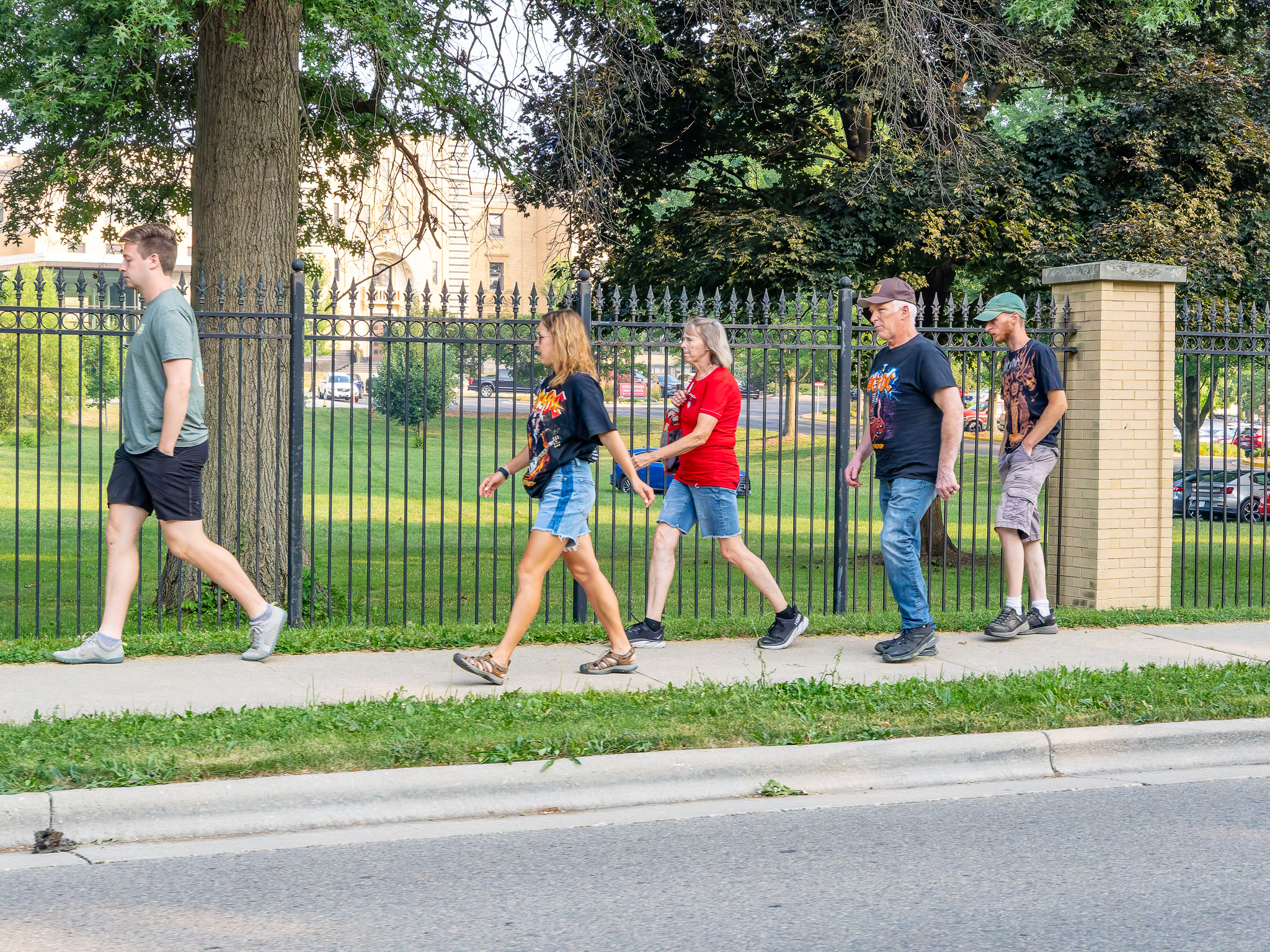
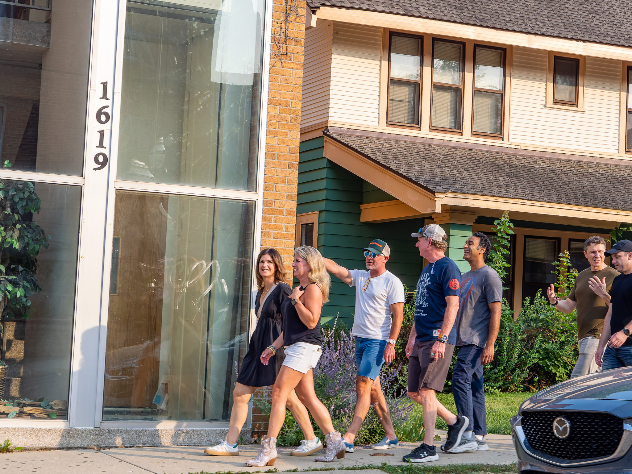
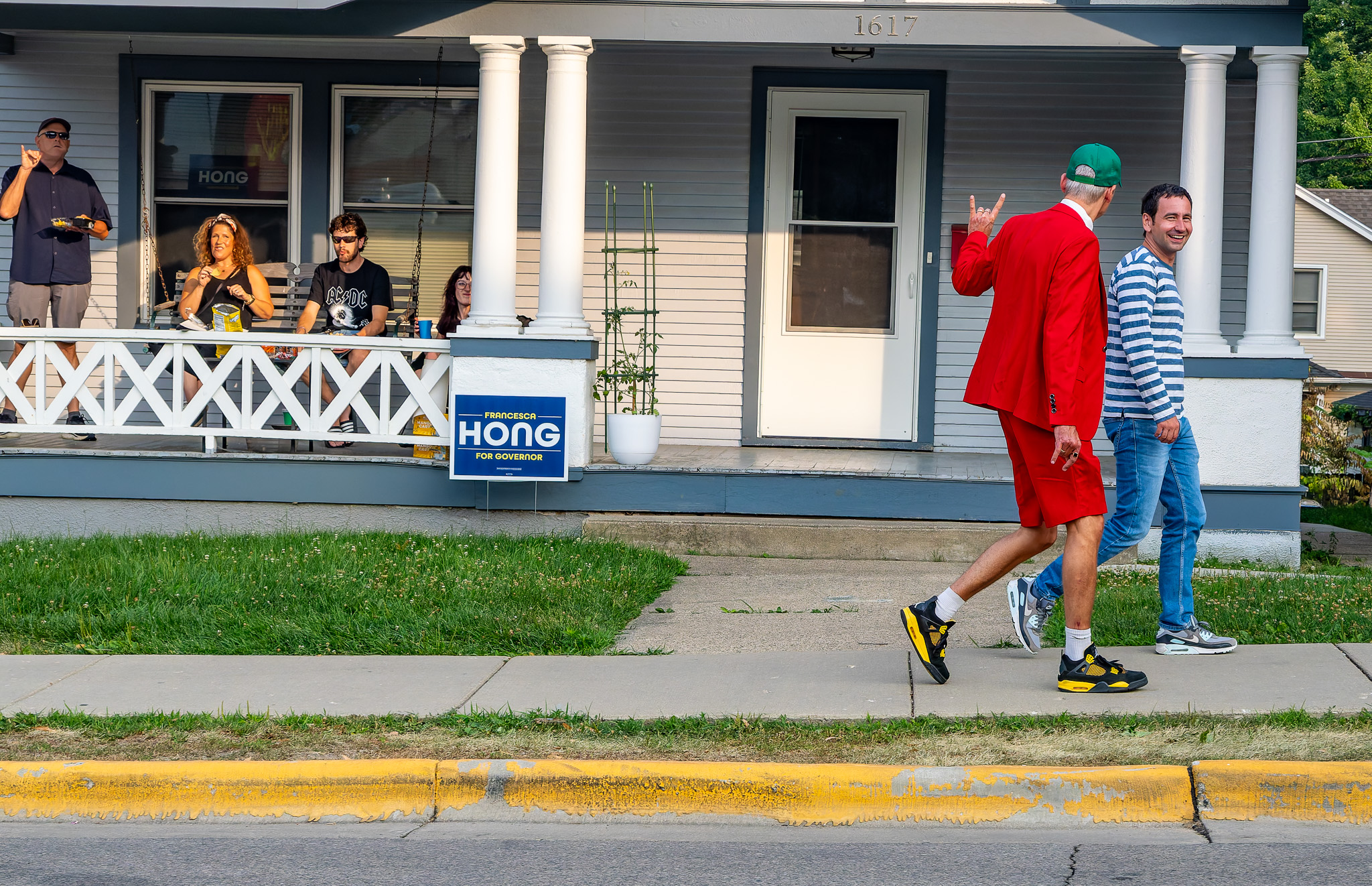
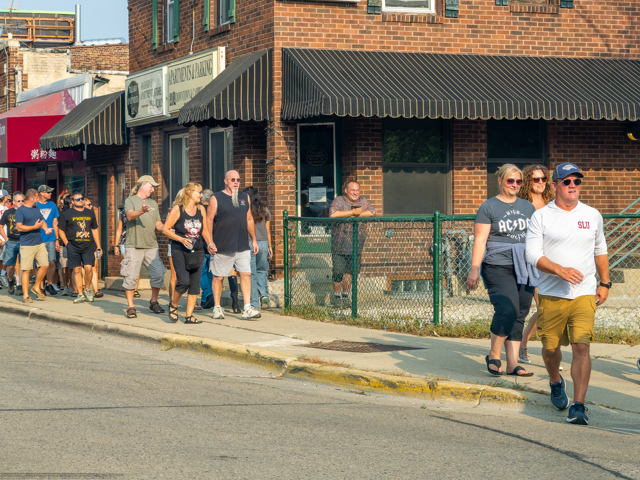
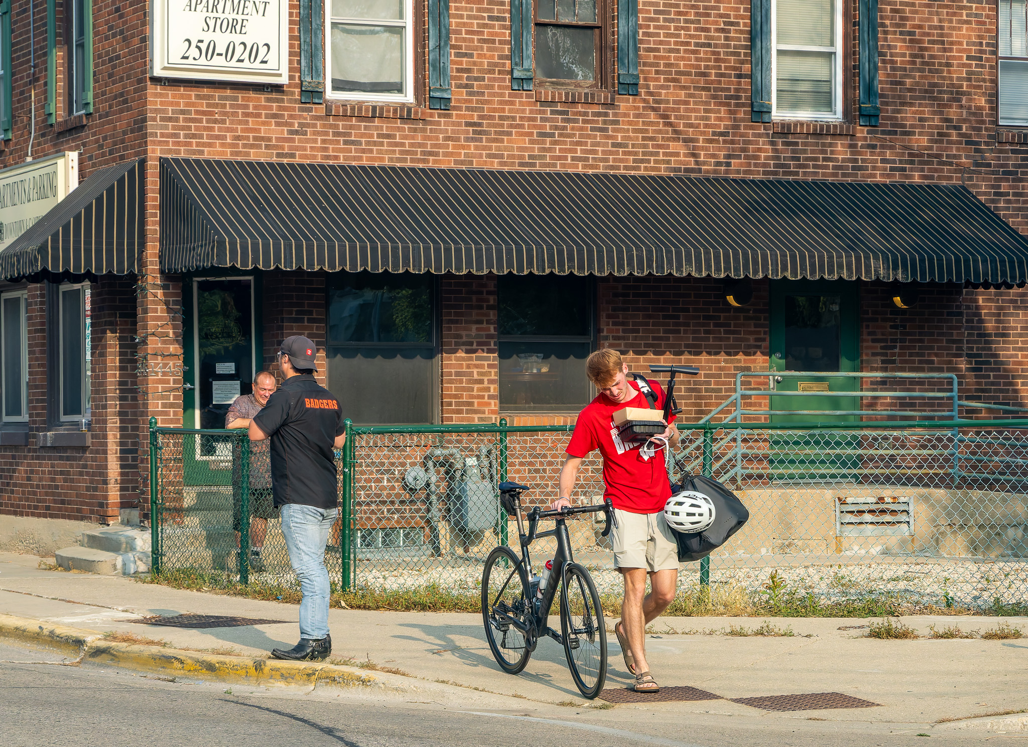
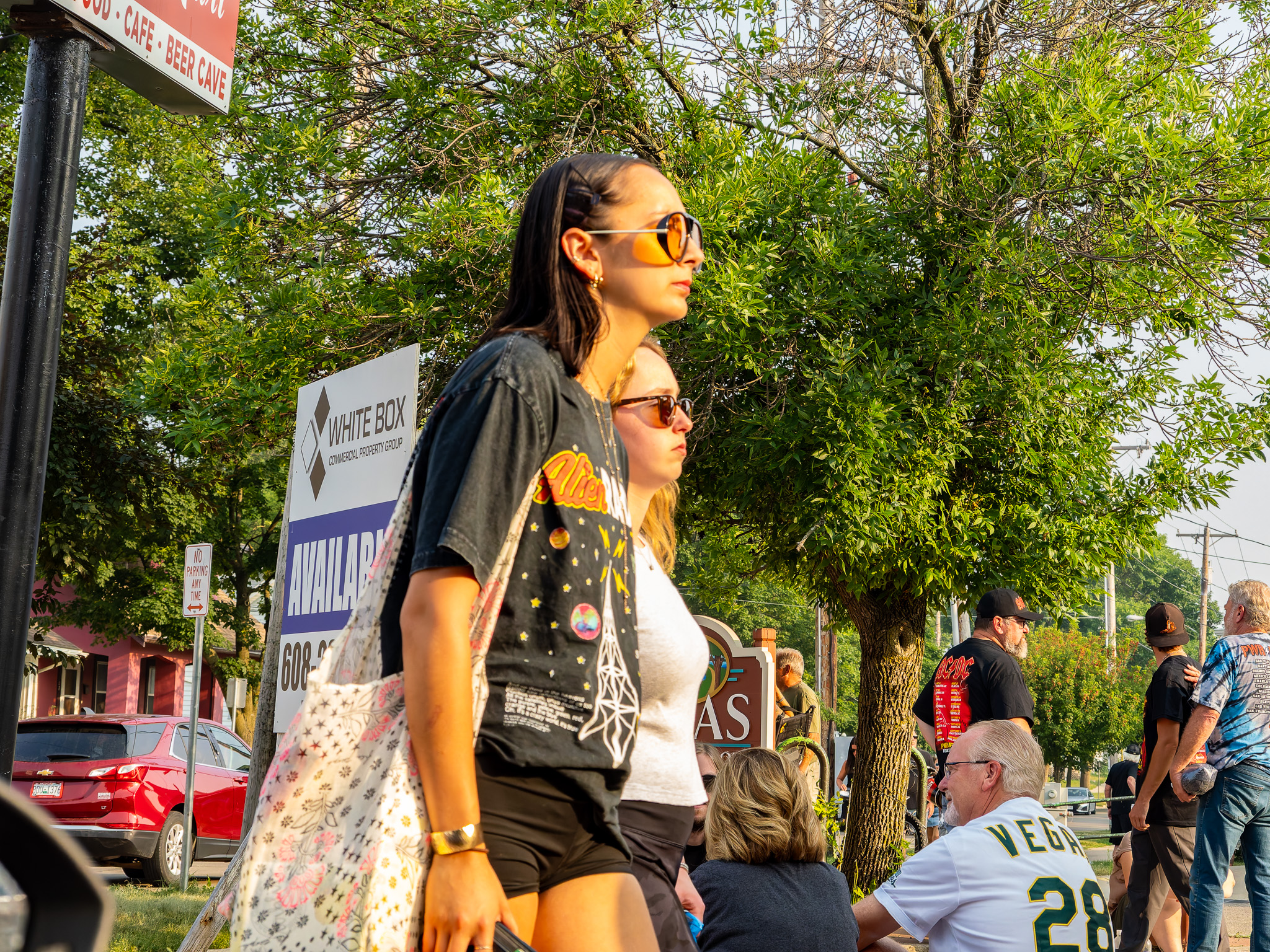
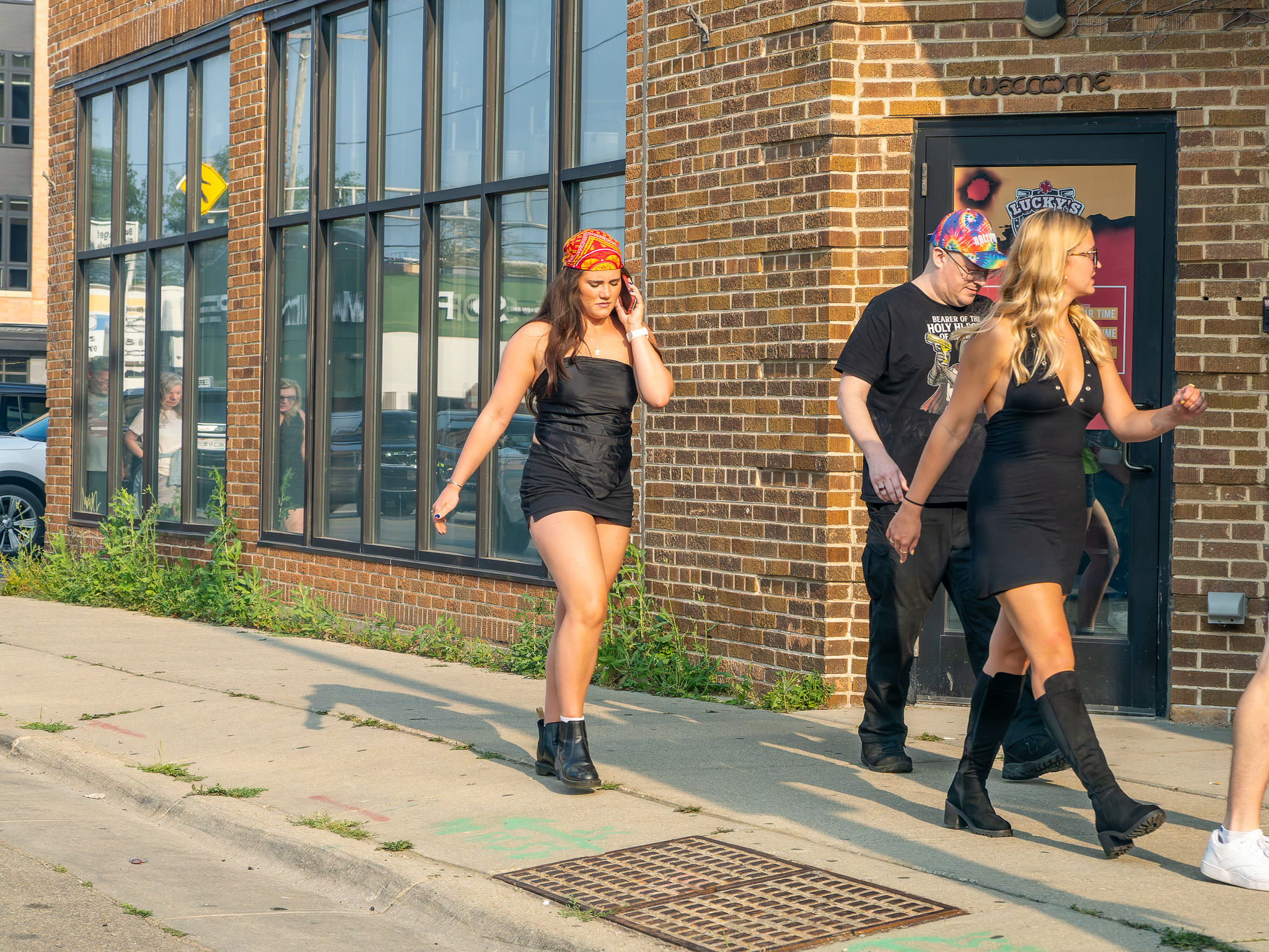
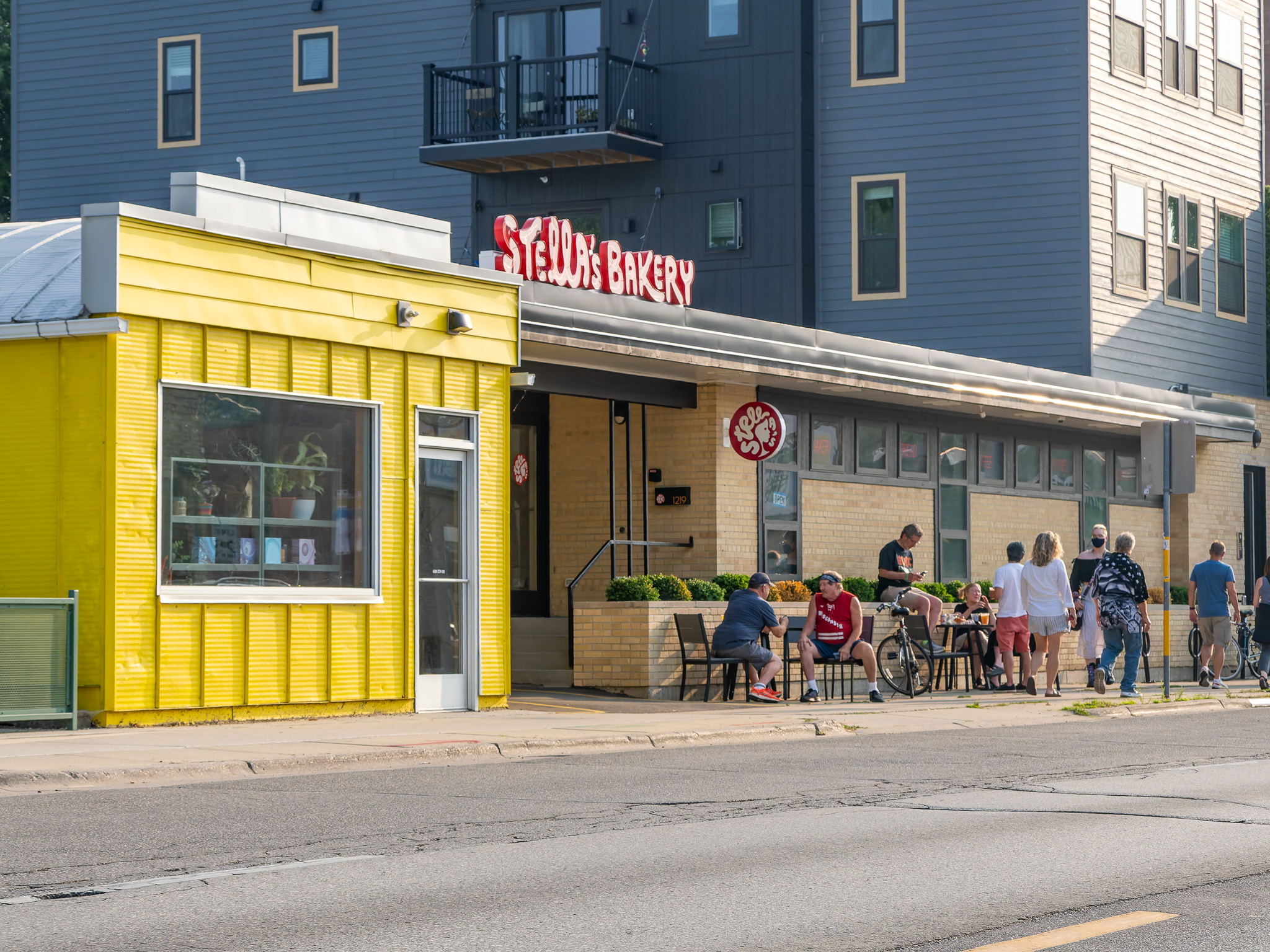
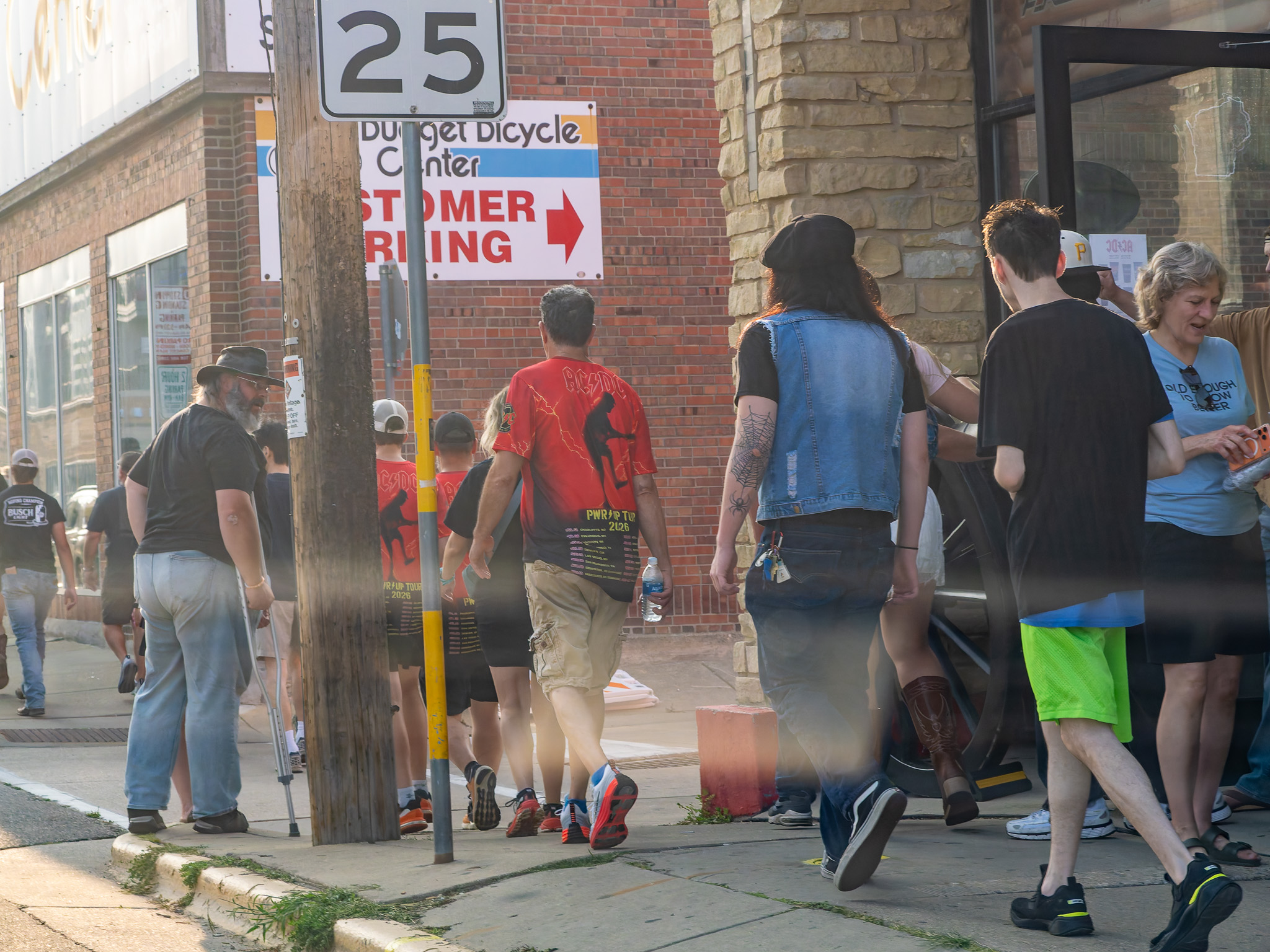
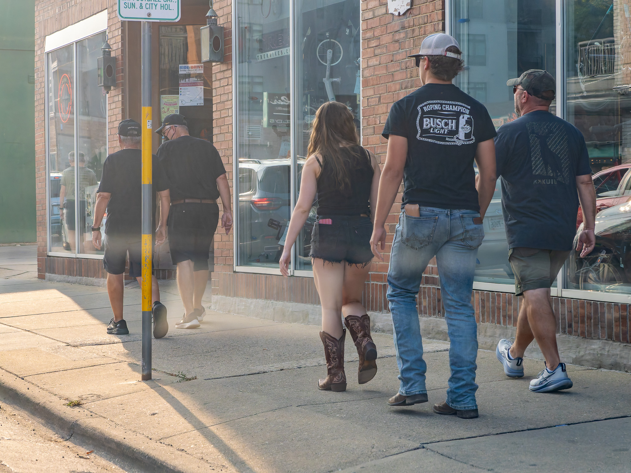
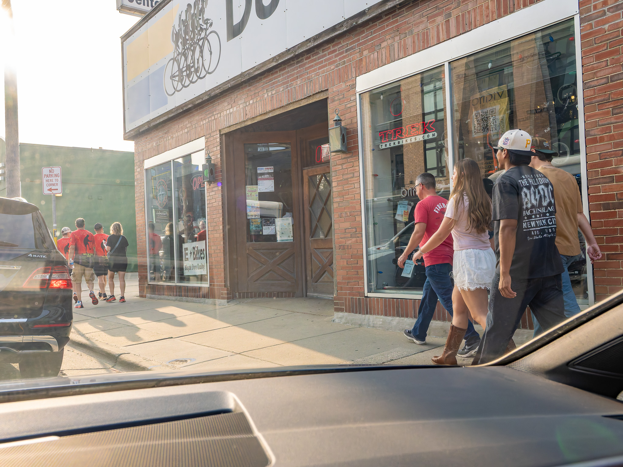
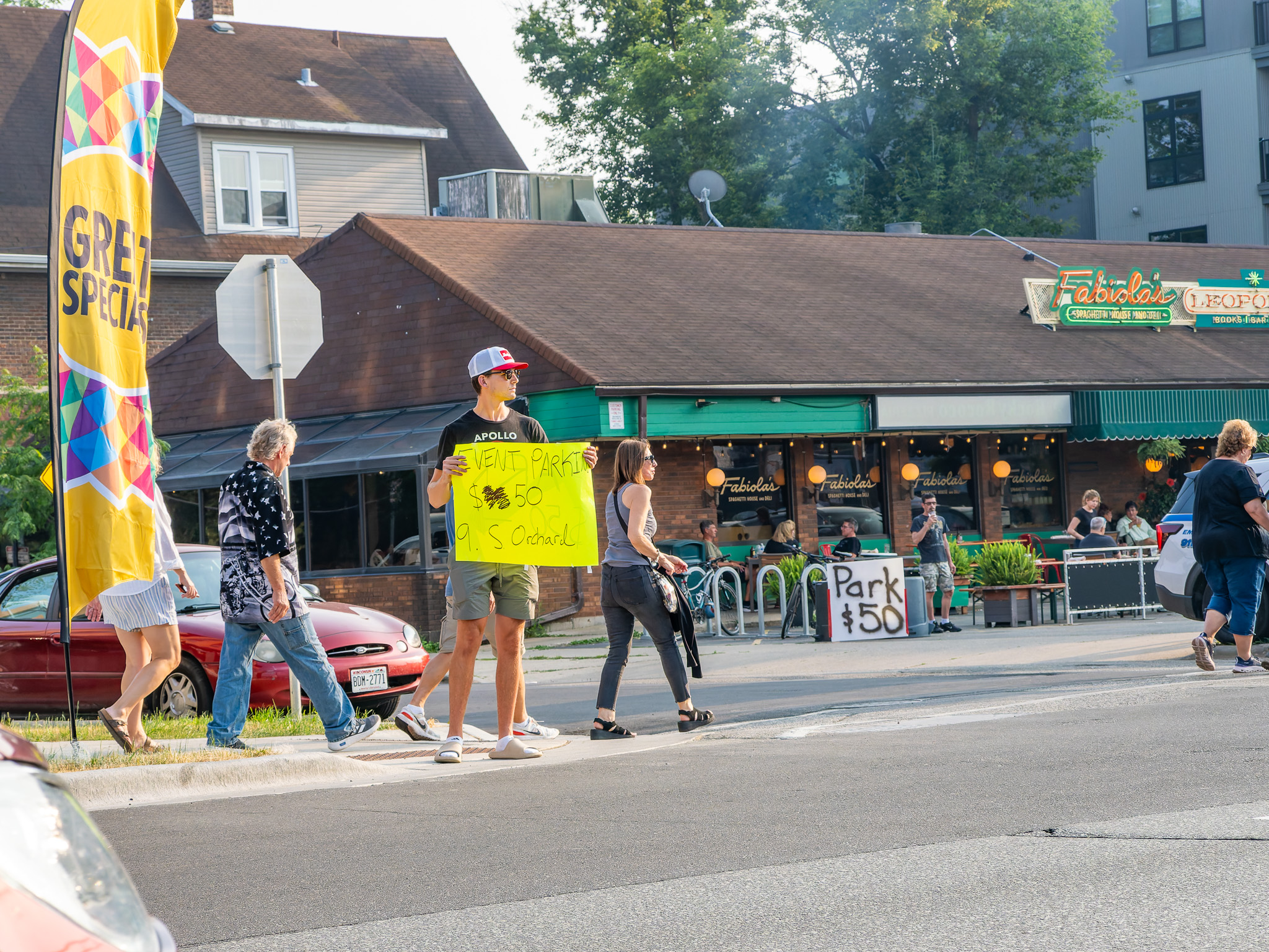
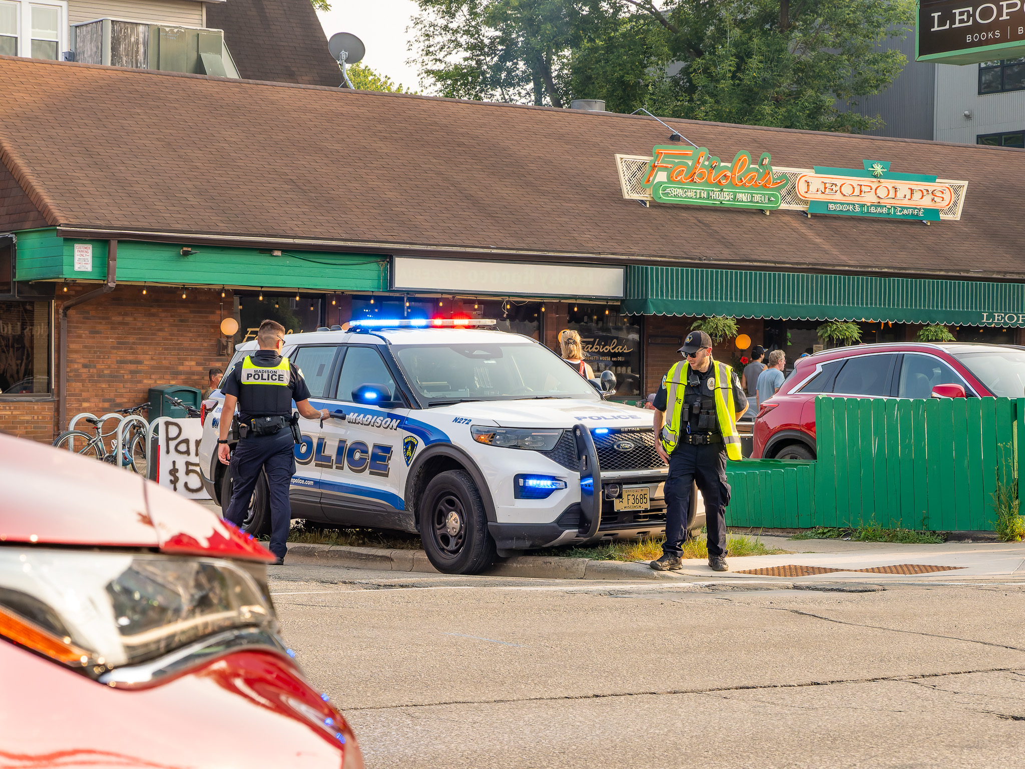
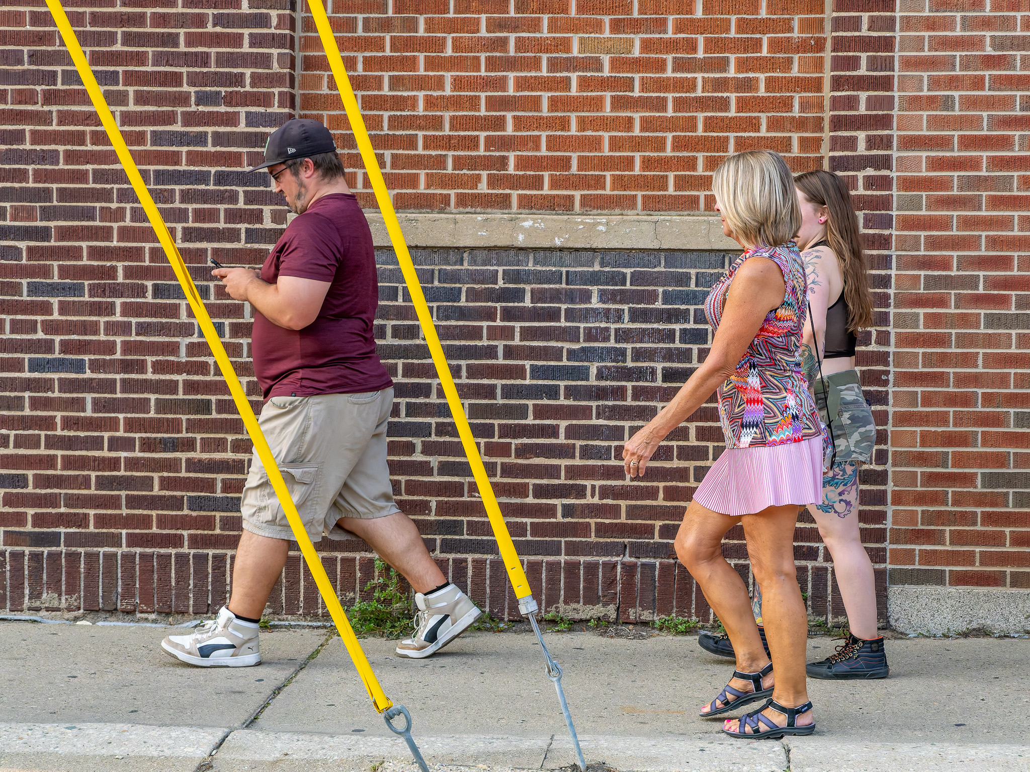
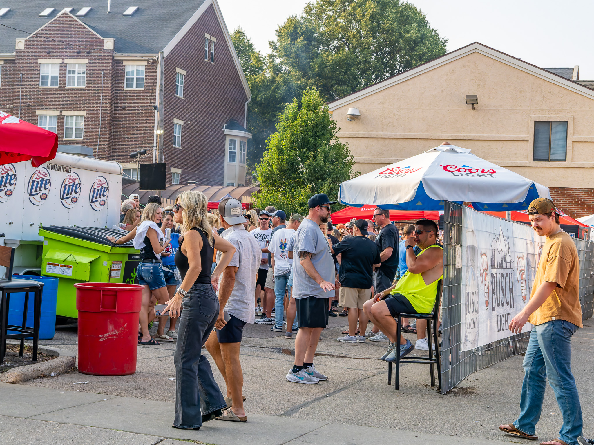
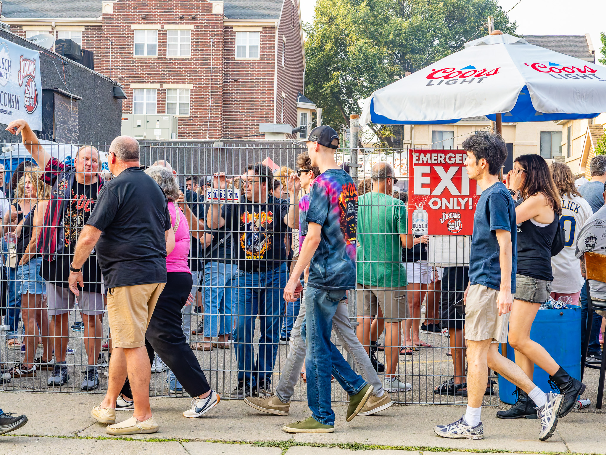
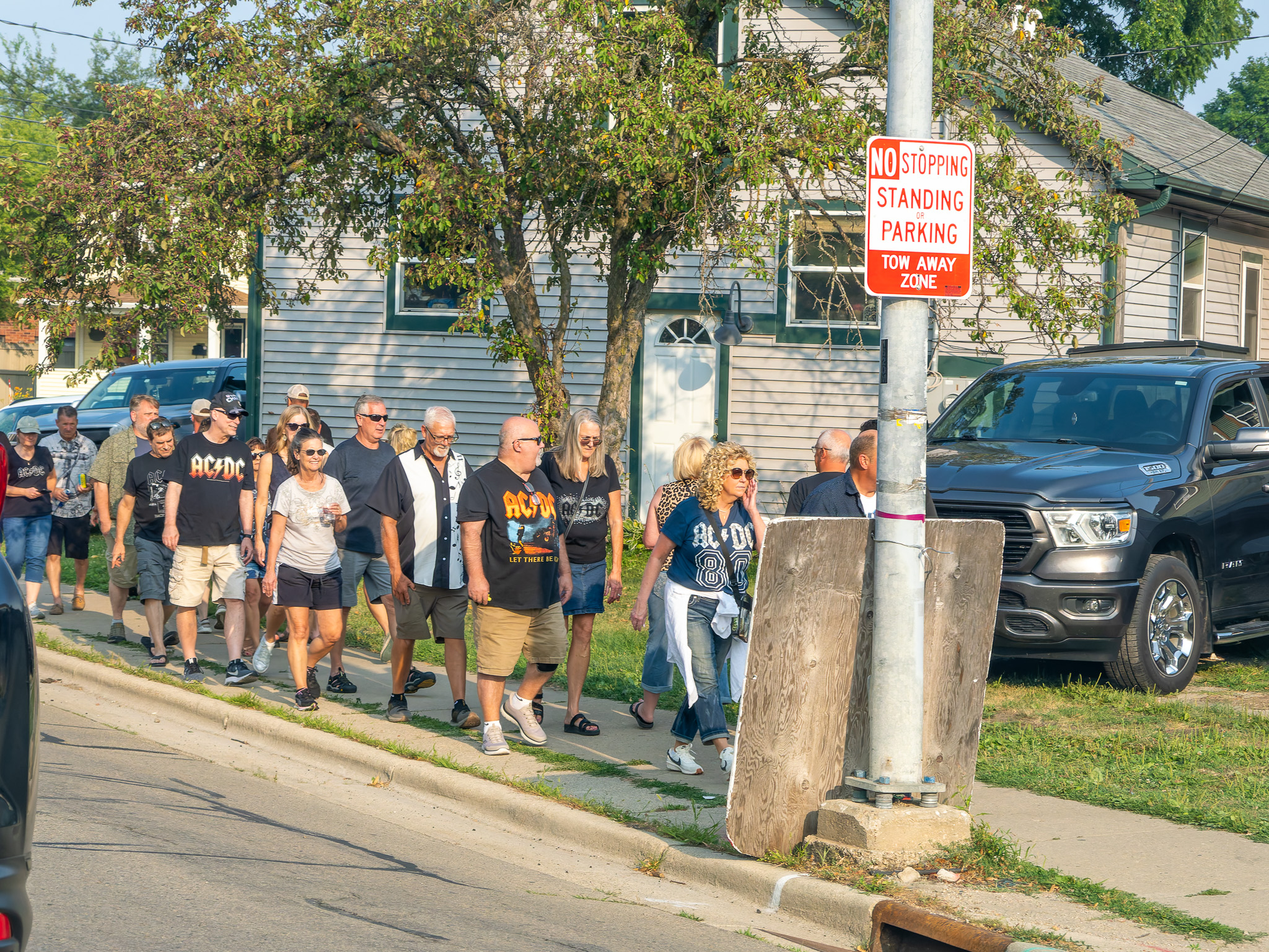
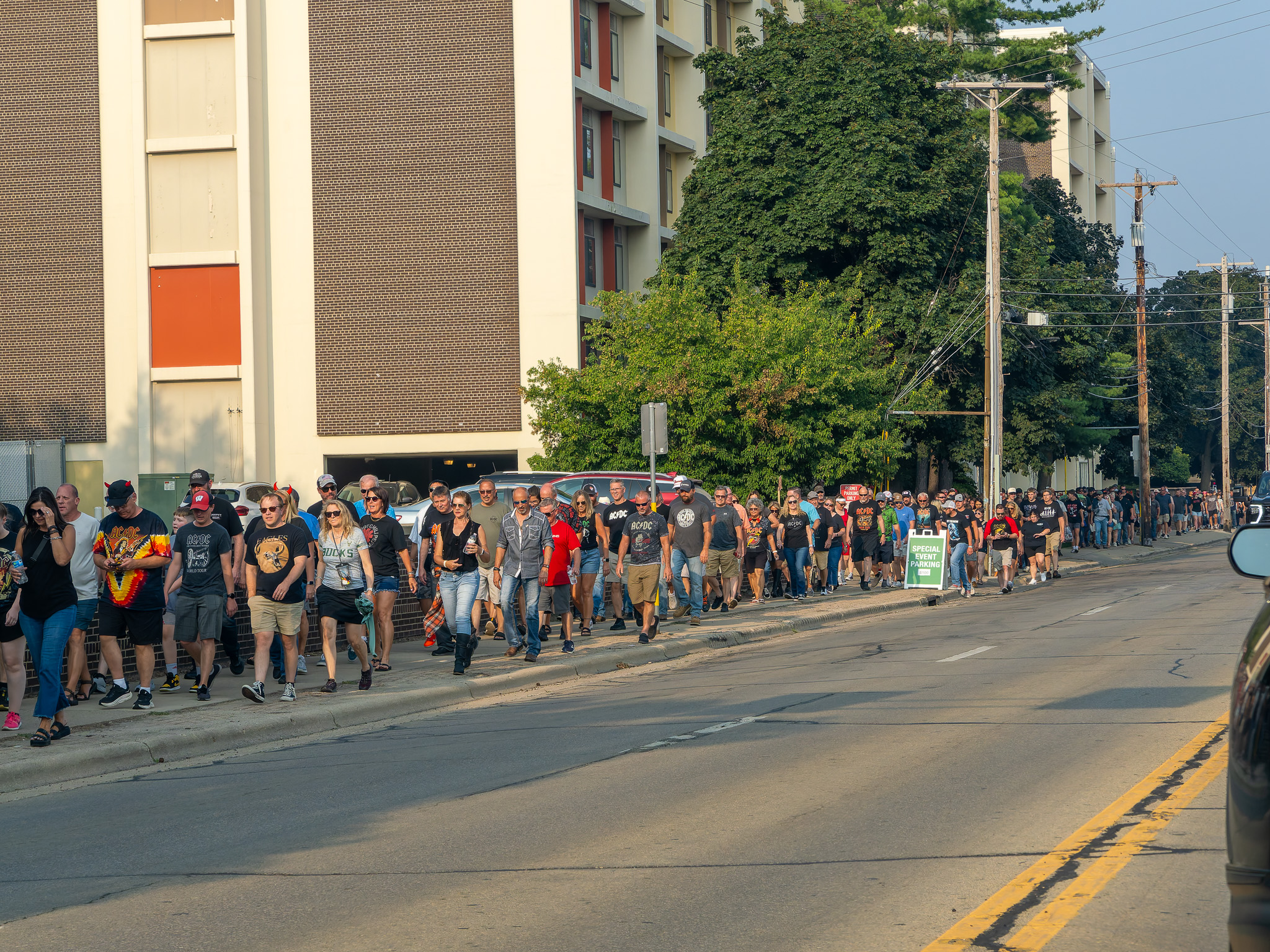
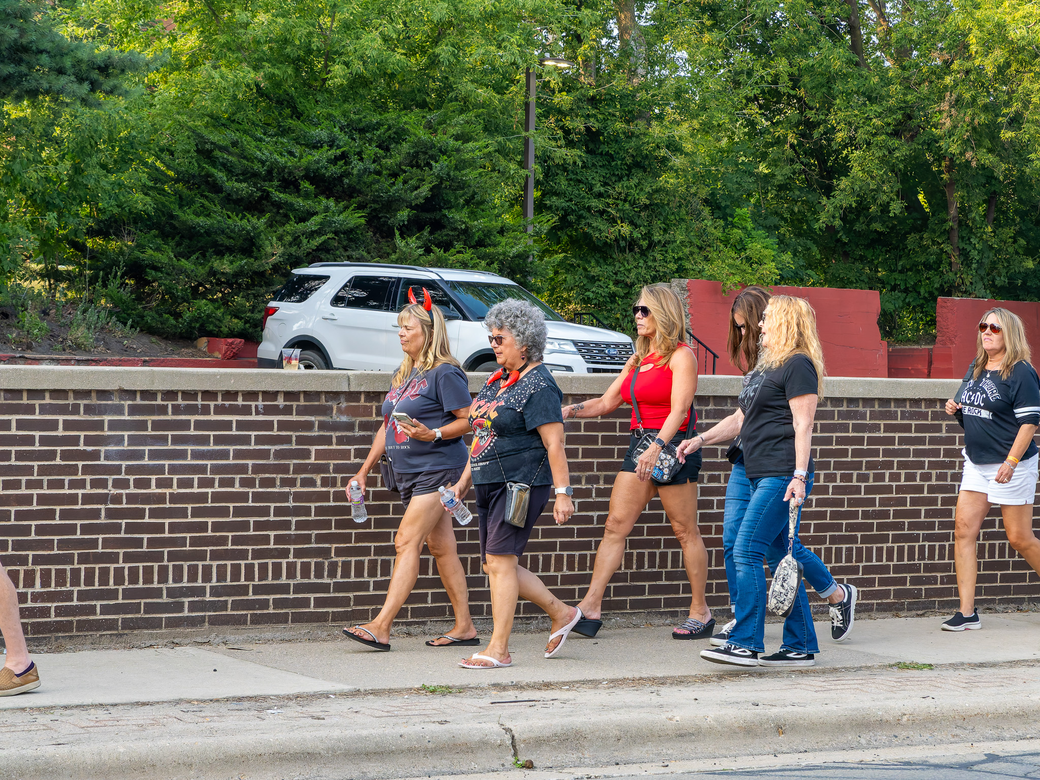
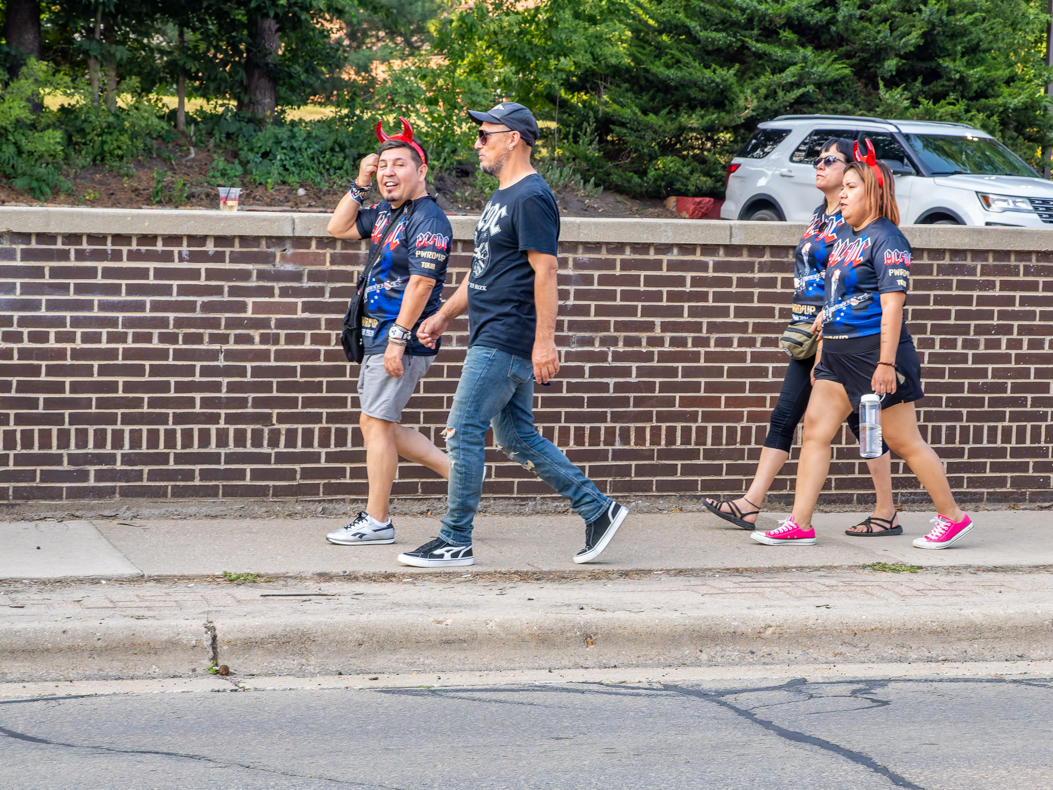
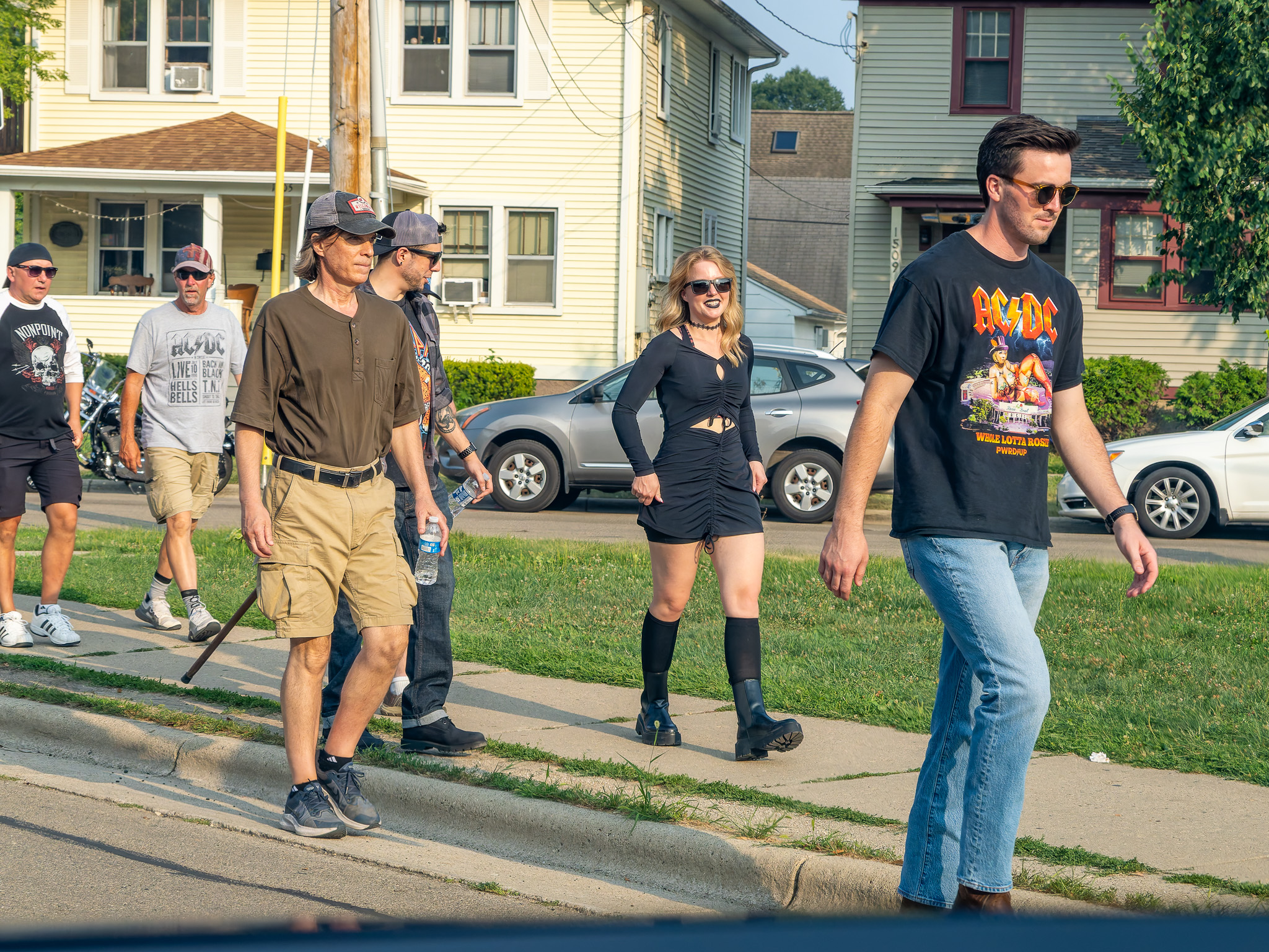
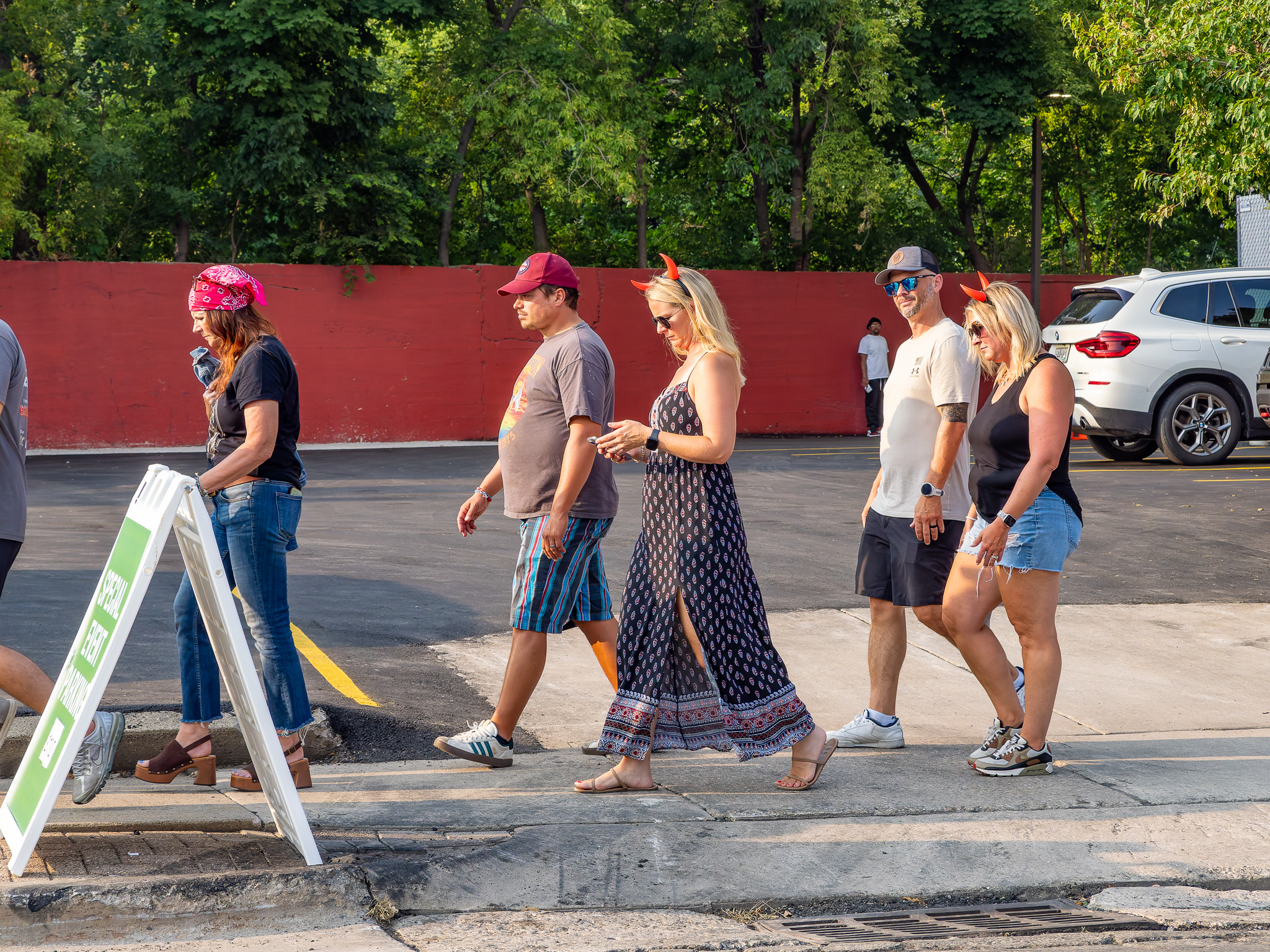
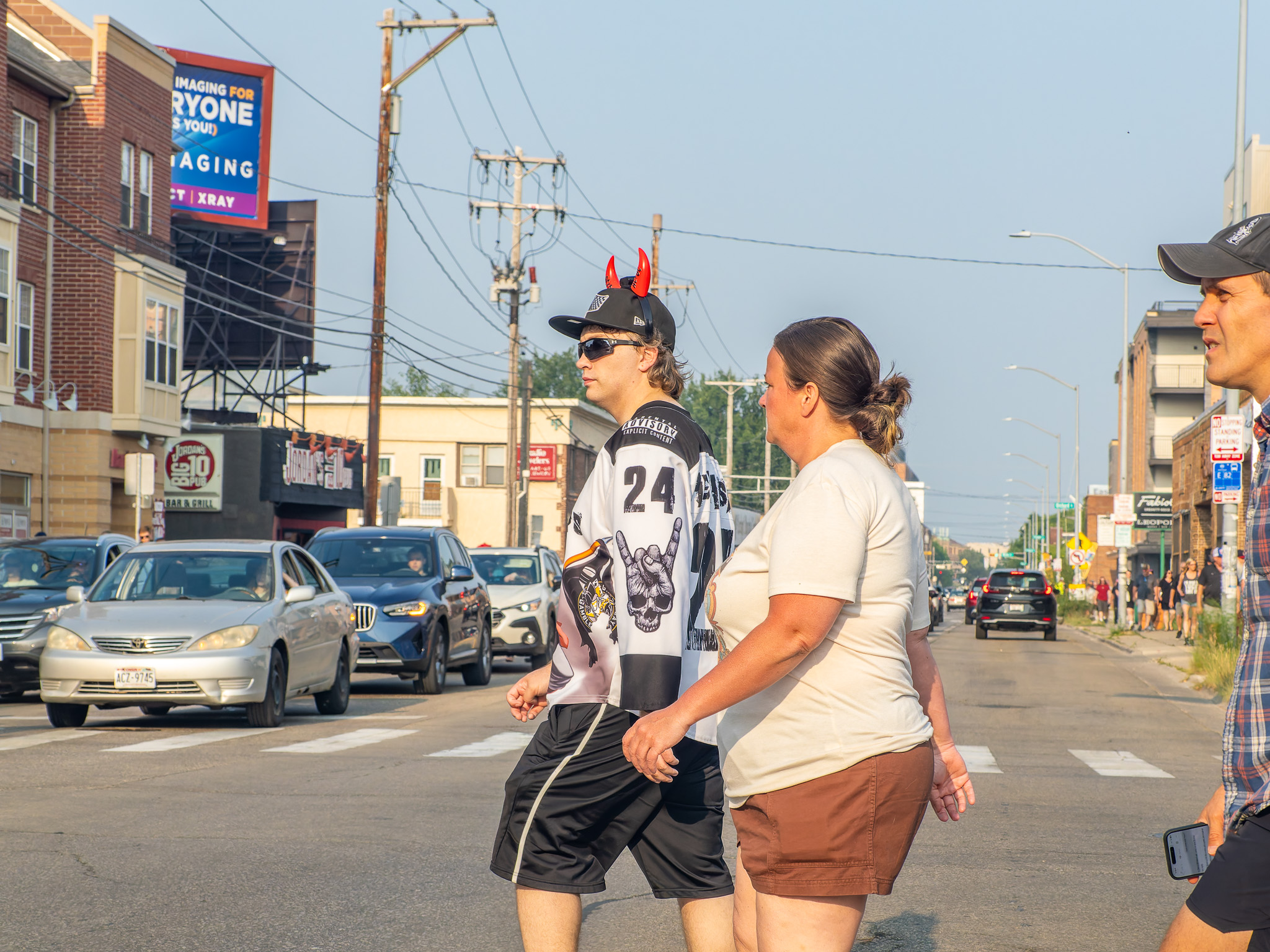
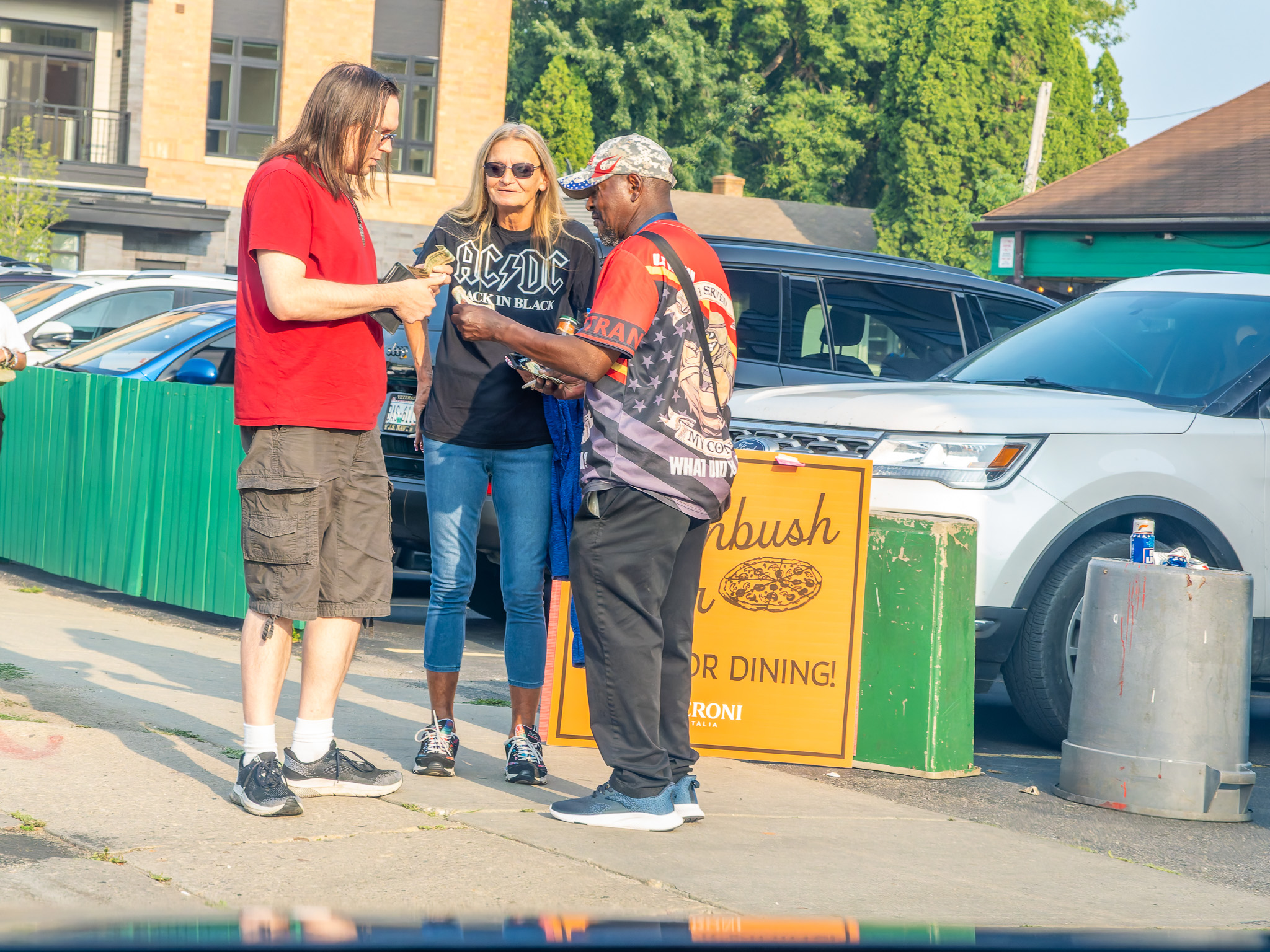
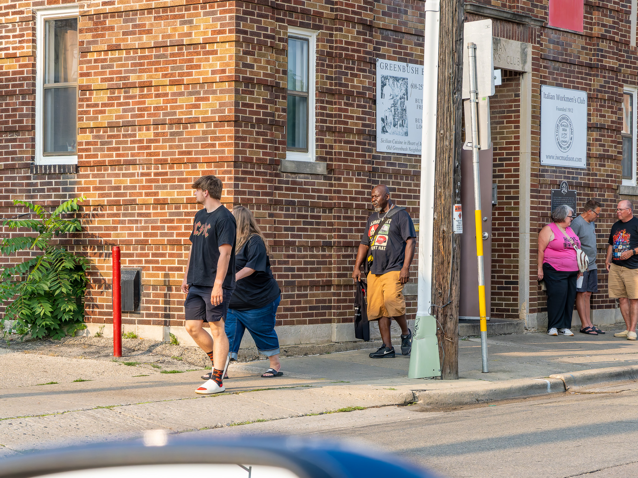
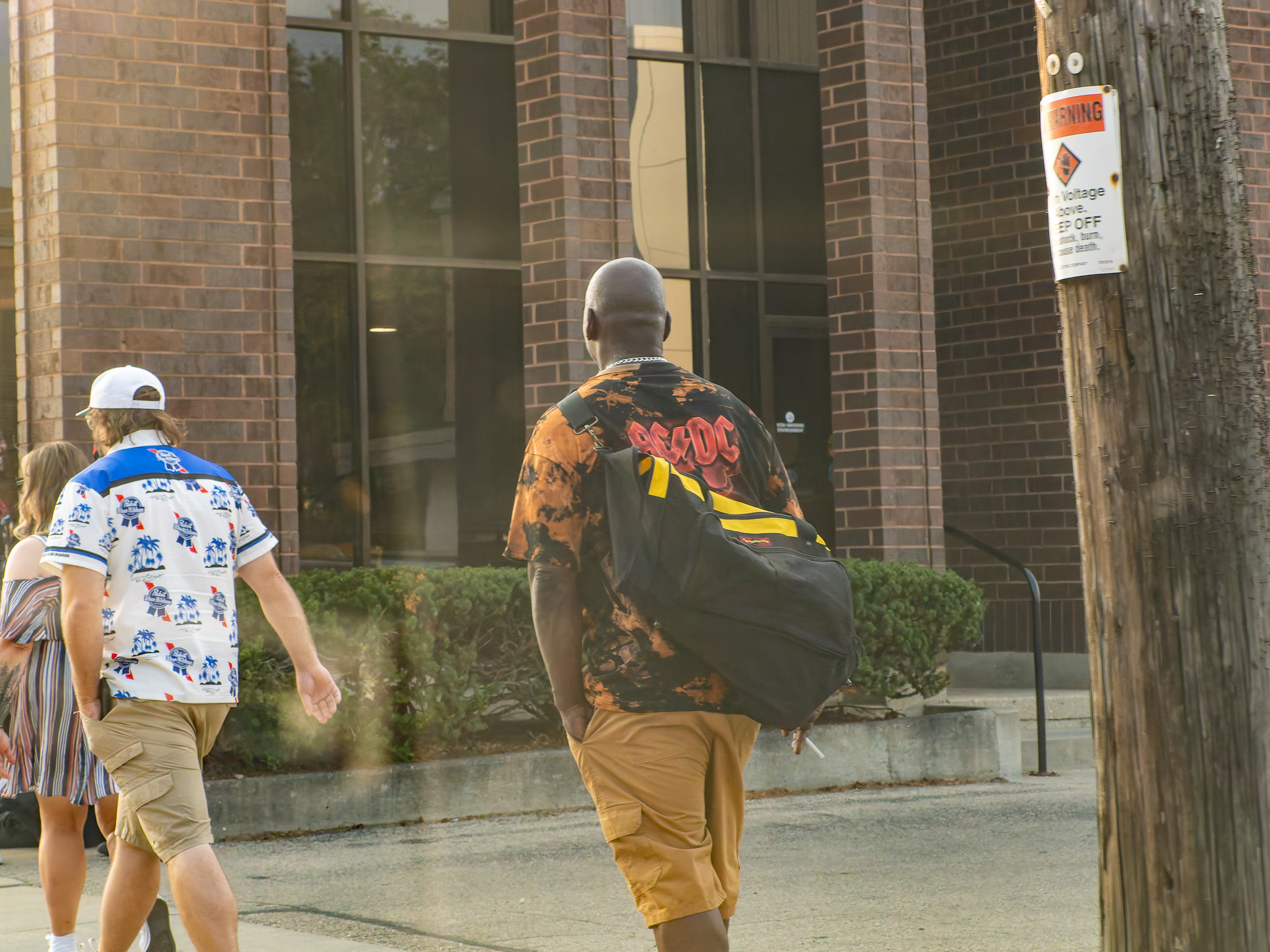
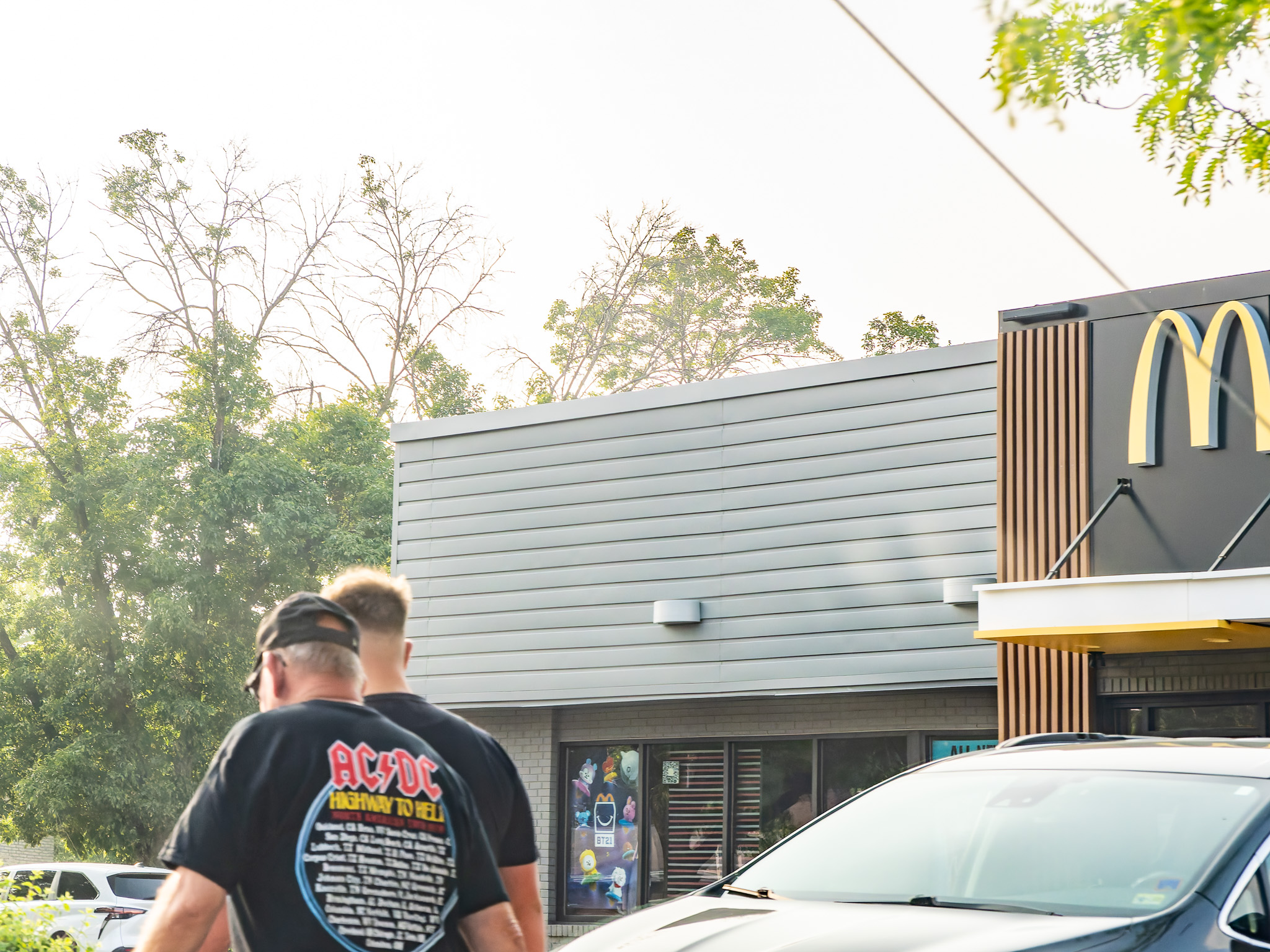
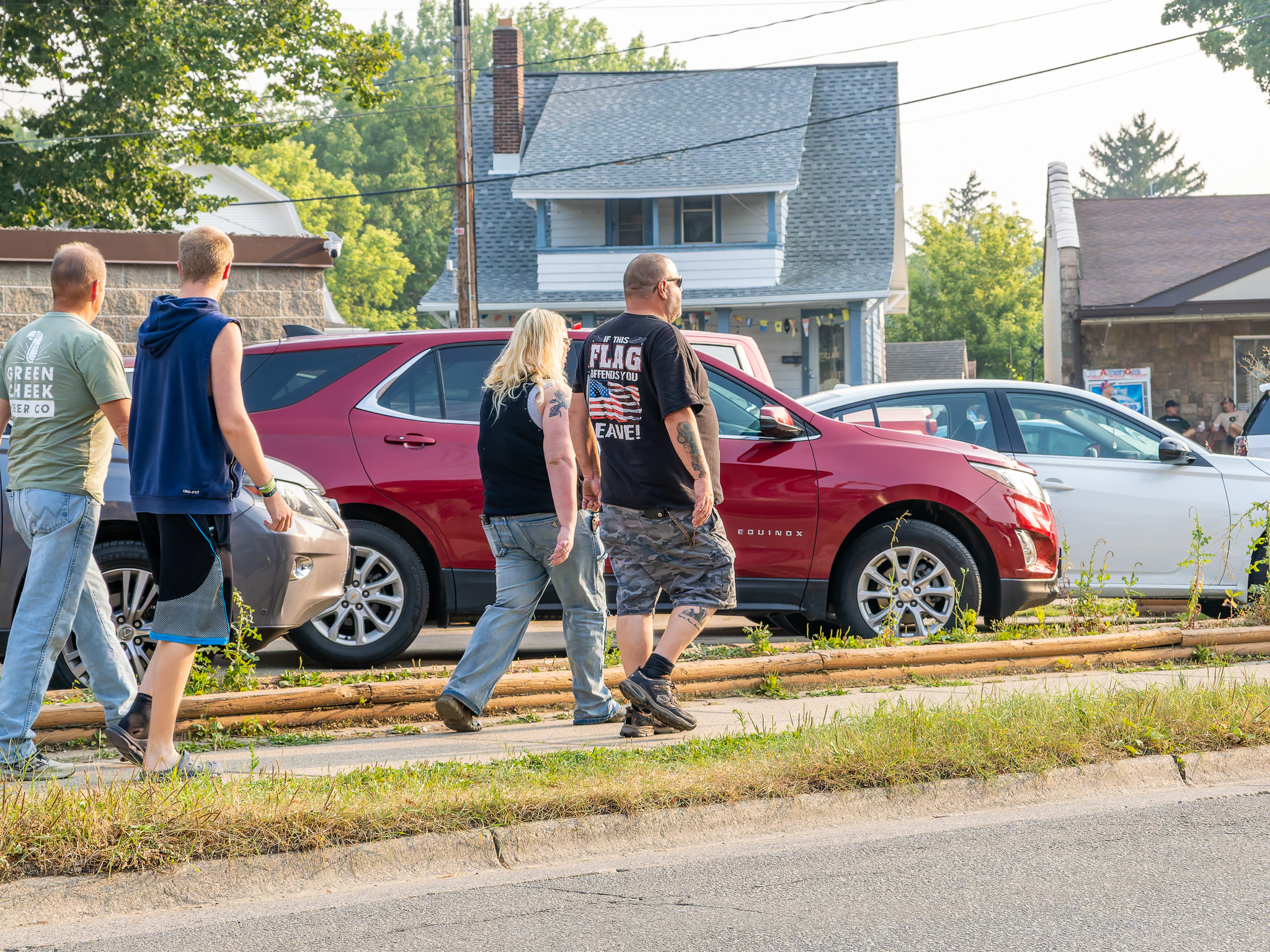
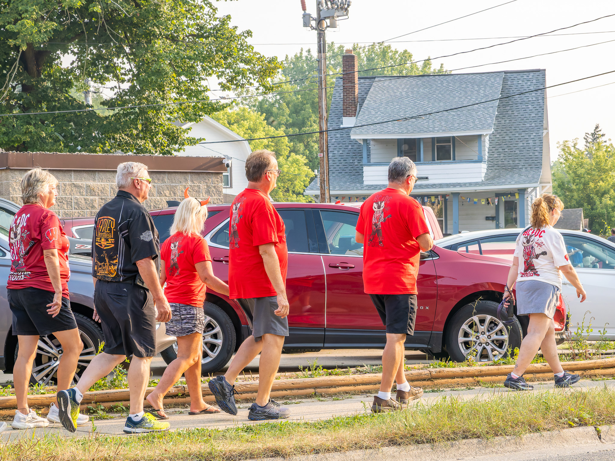
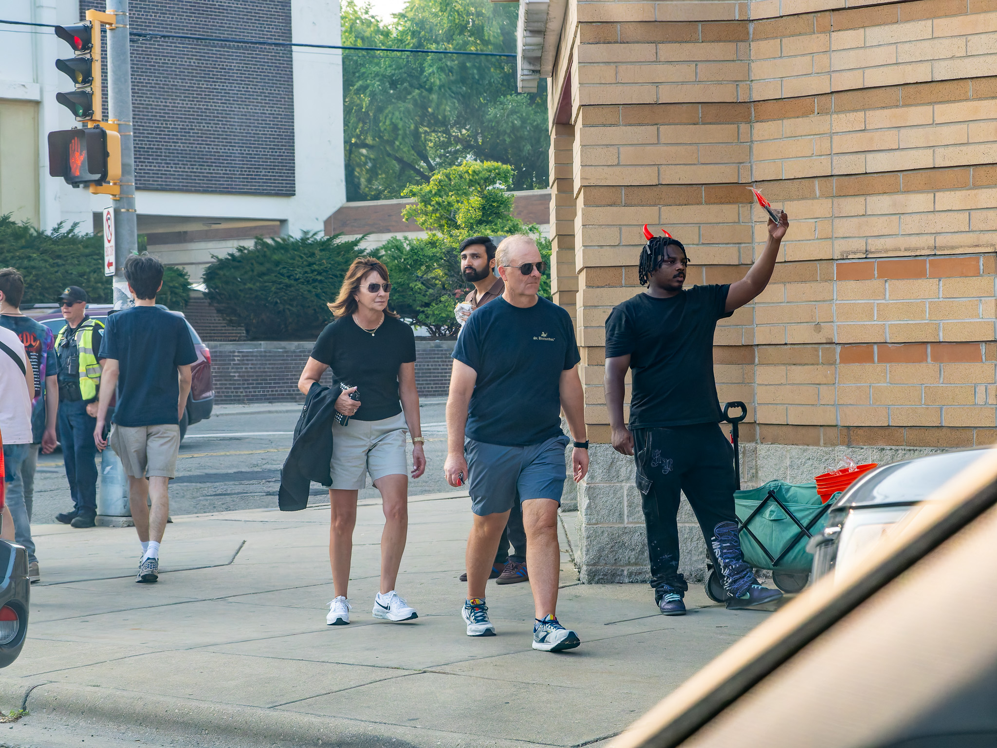
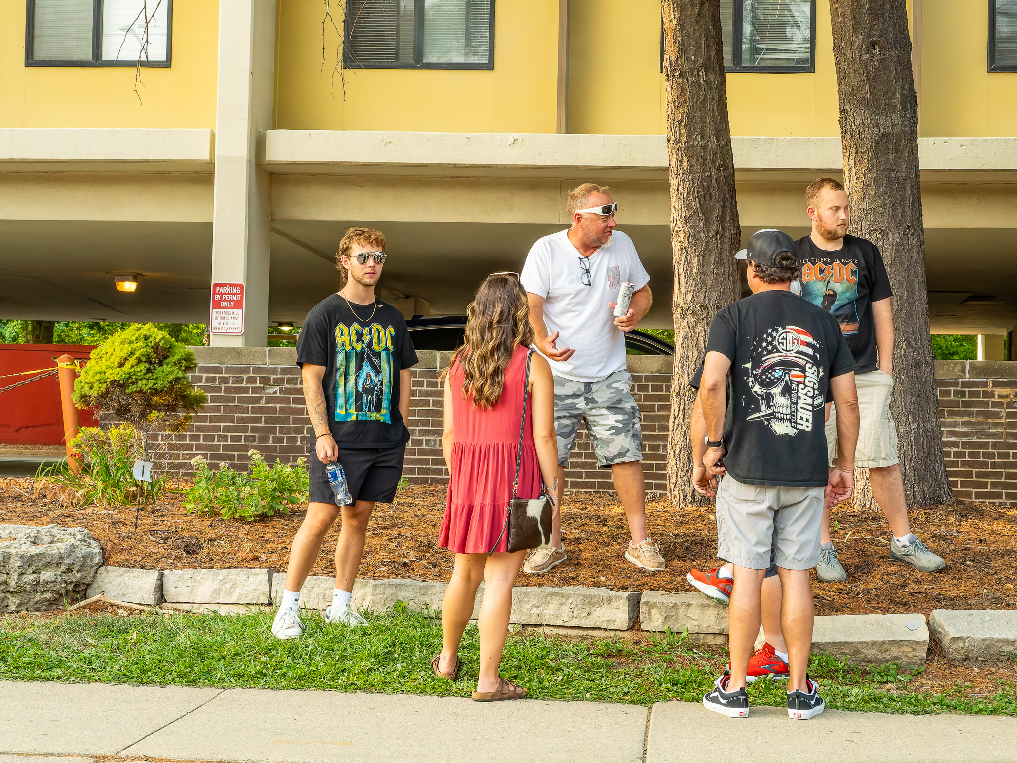
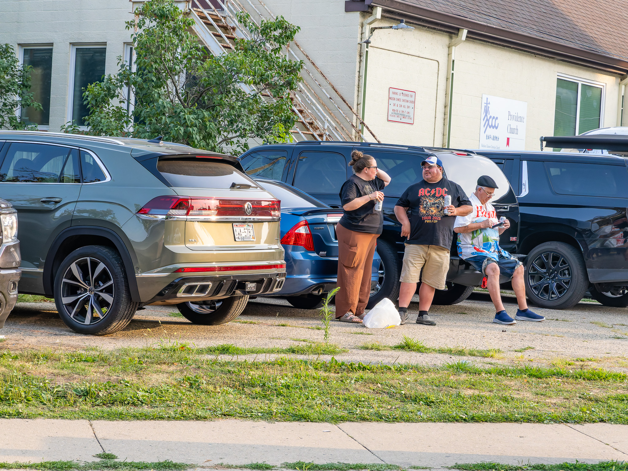
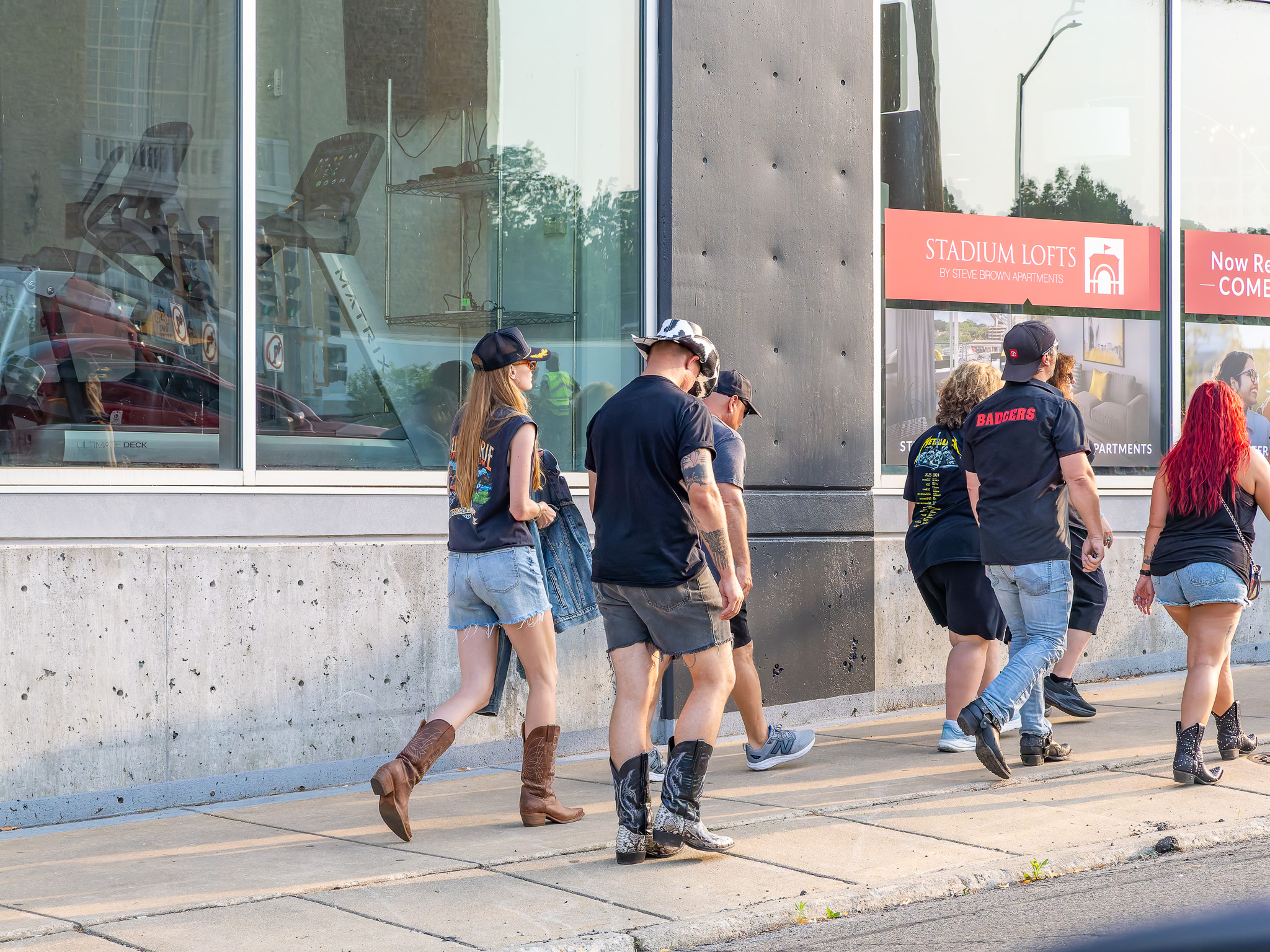
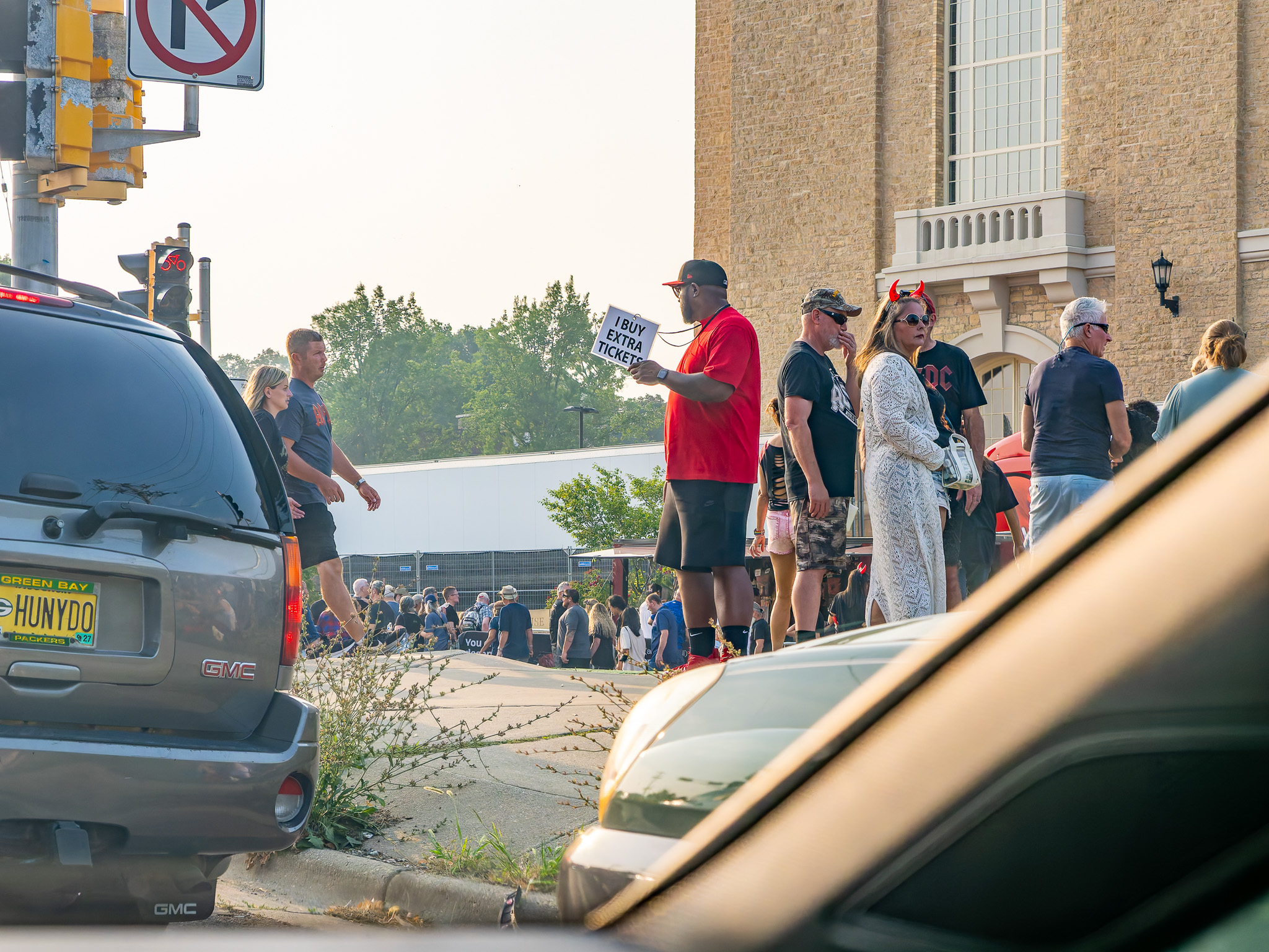
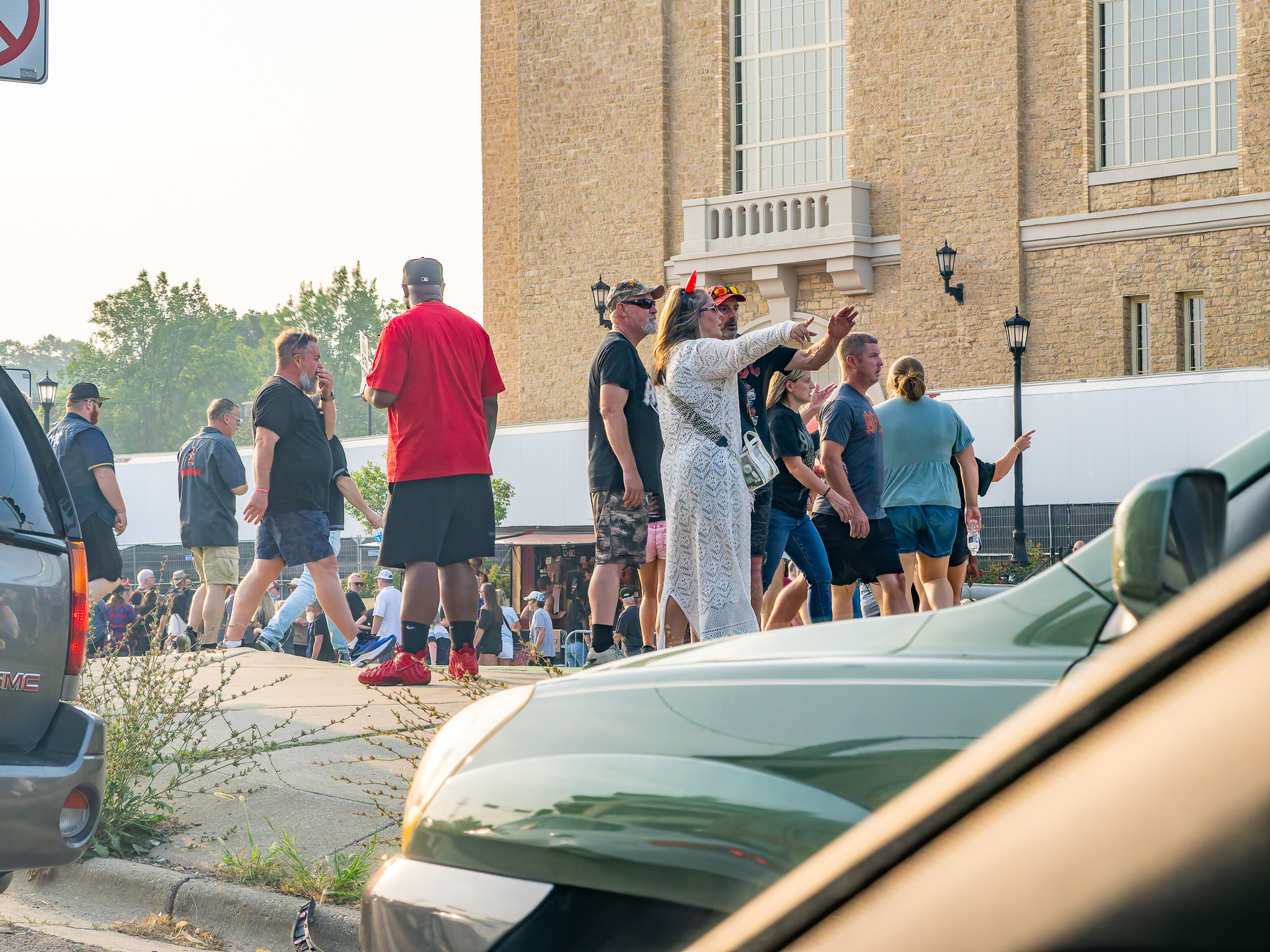
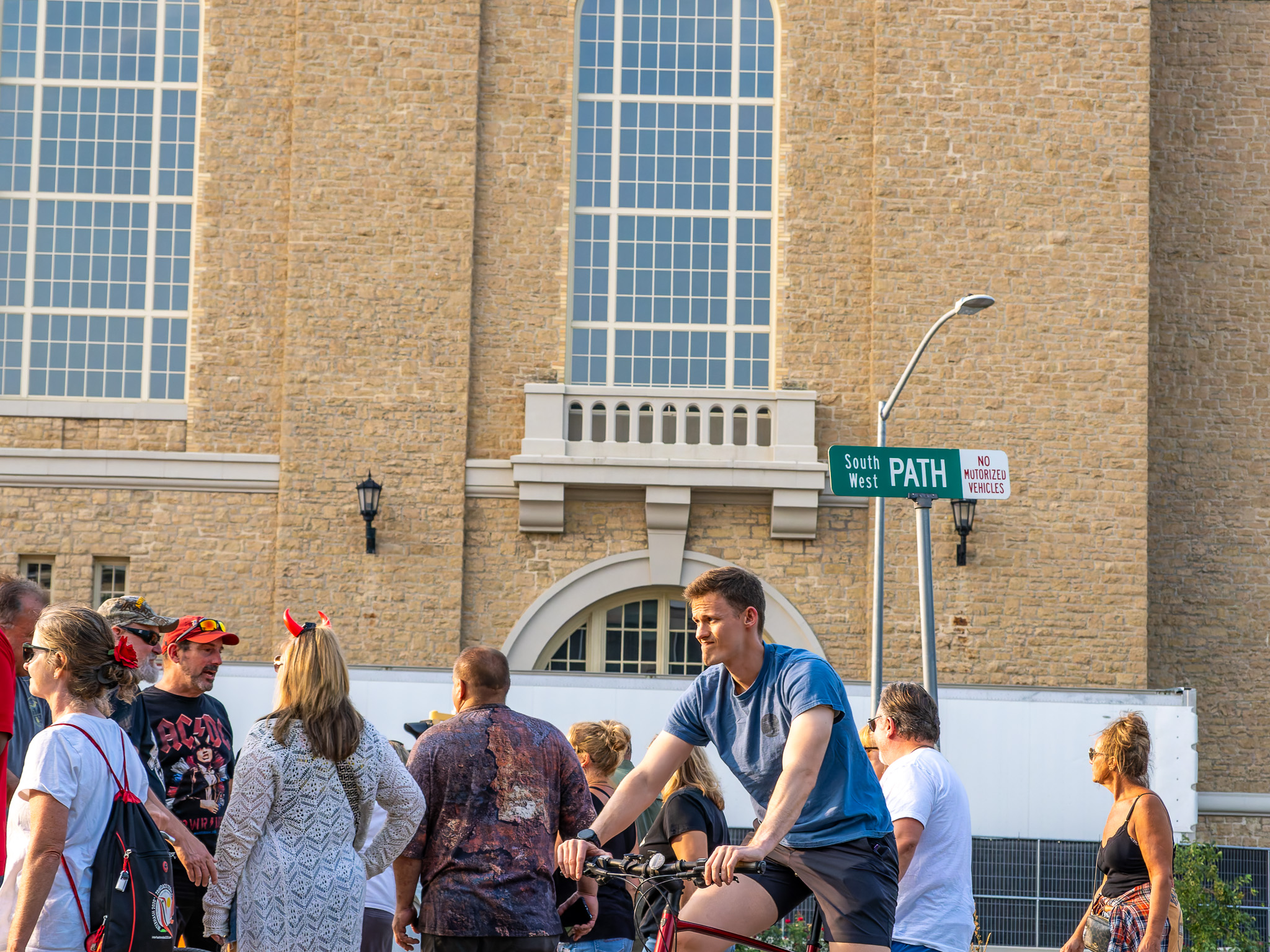
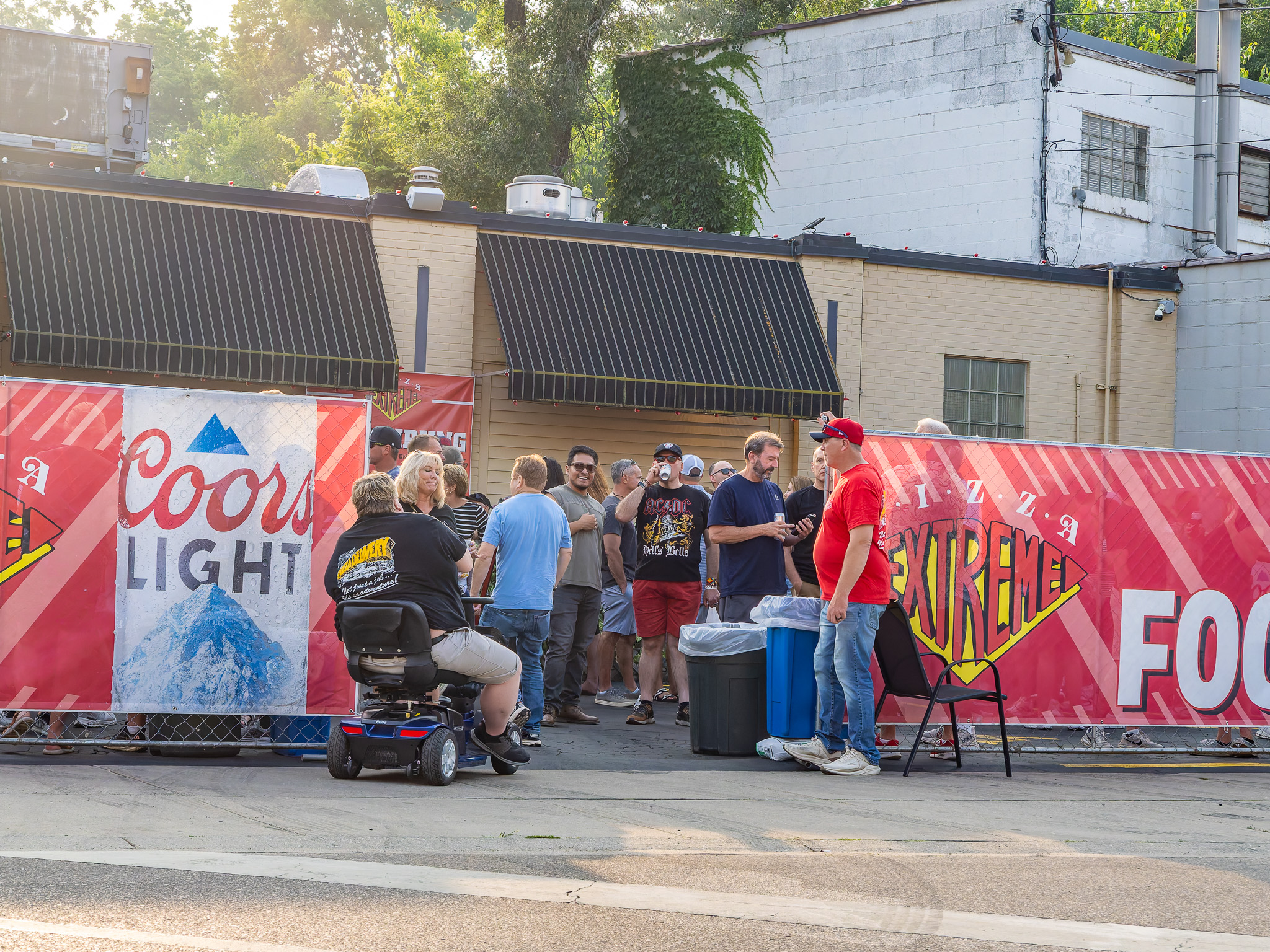
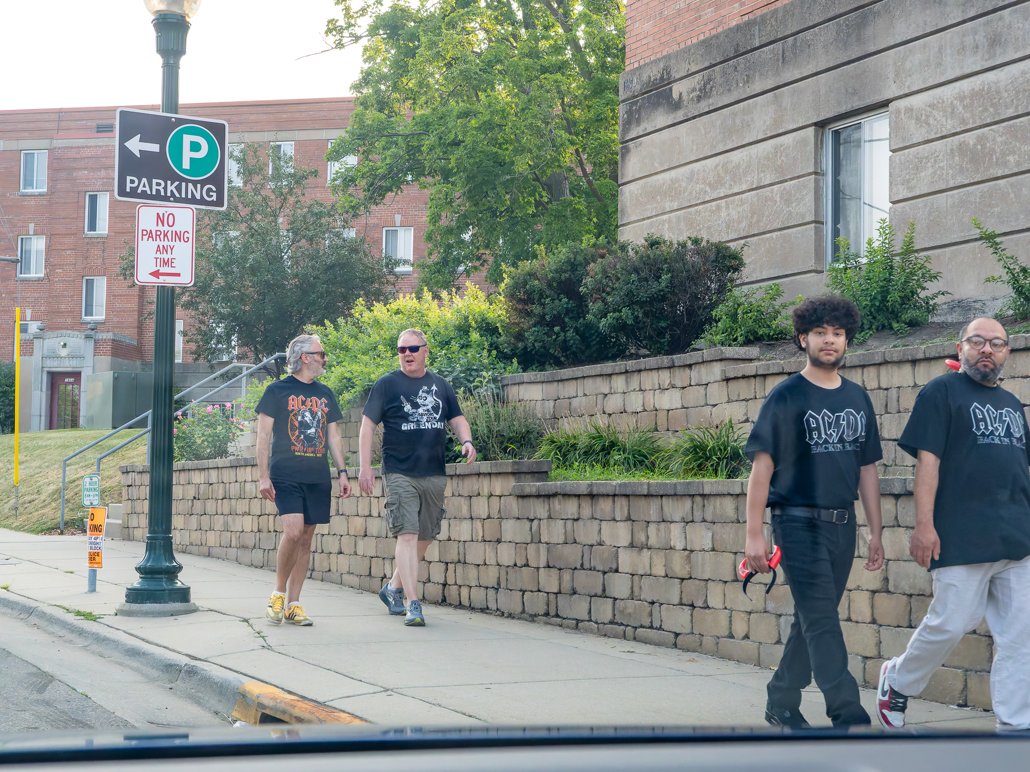
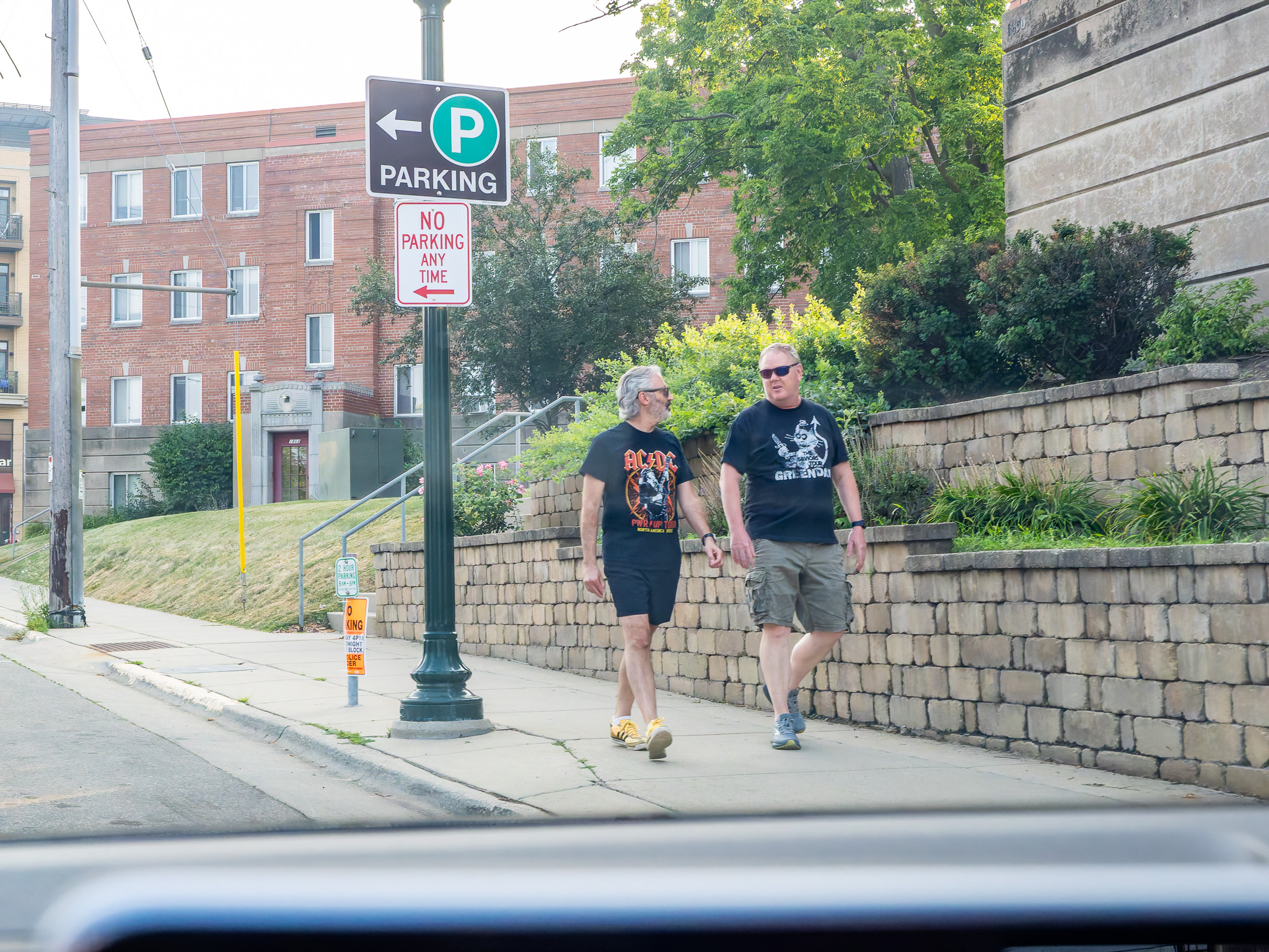
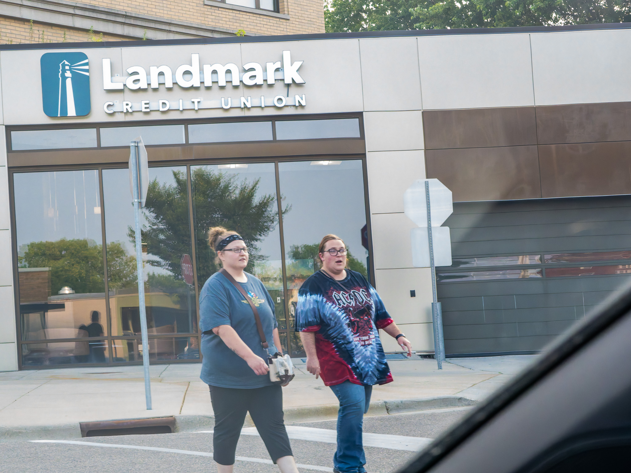
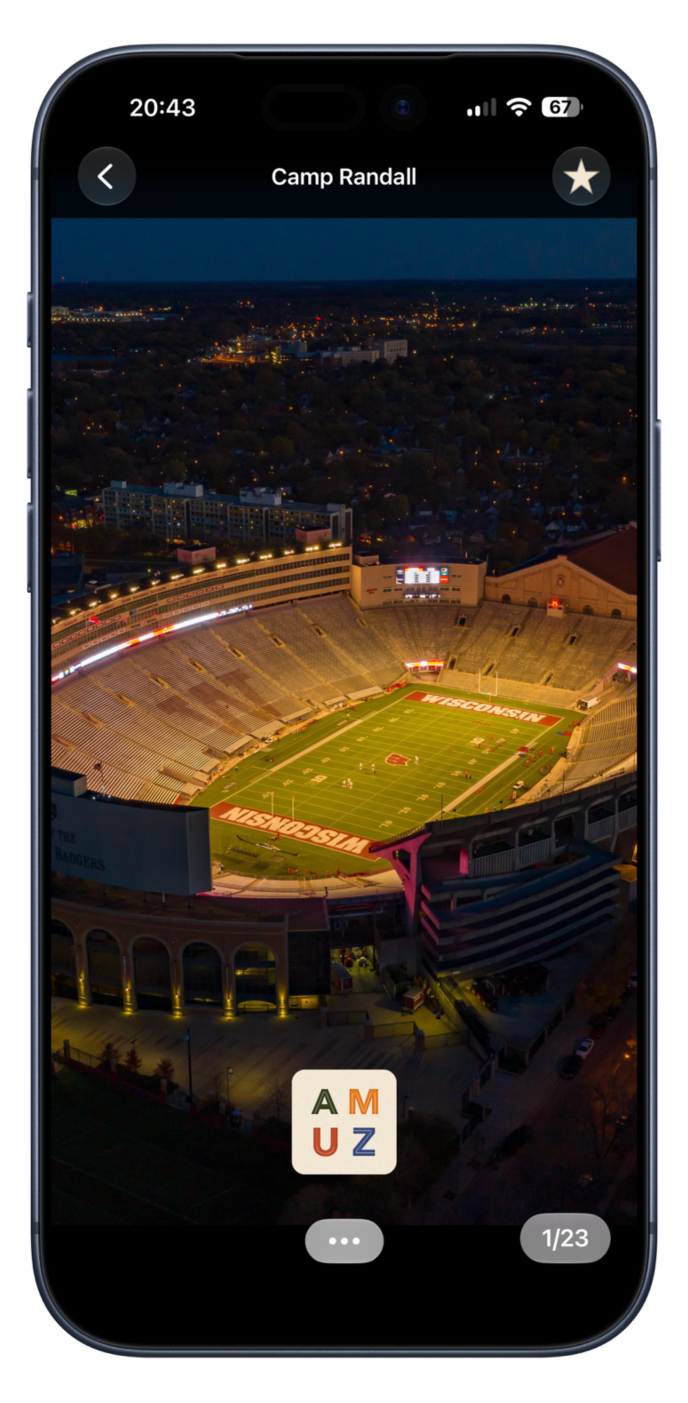
AC/DC meets Camp Randall Vibe
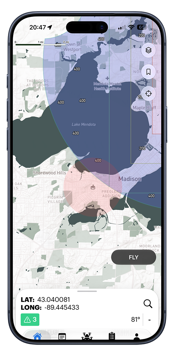
NOTAM
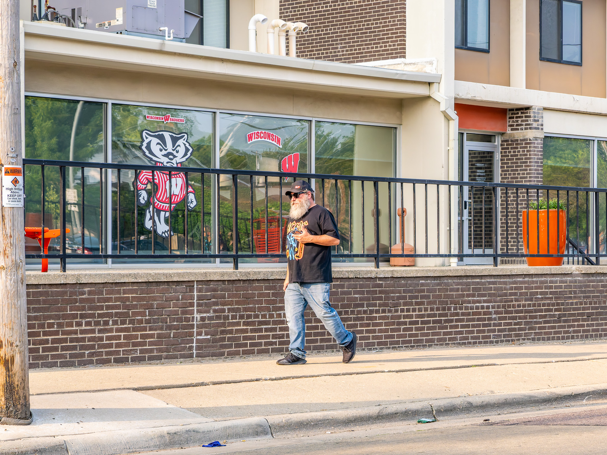
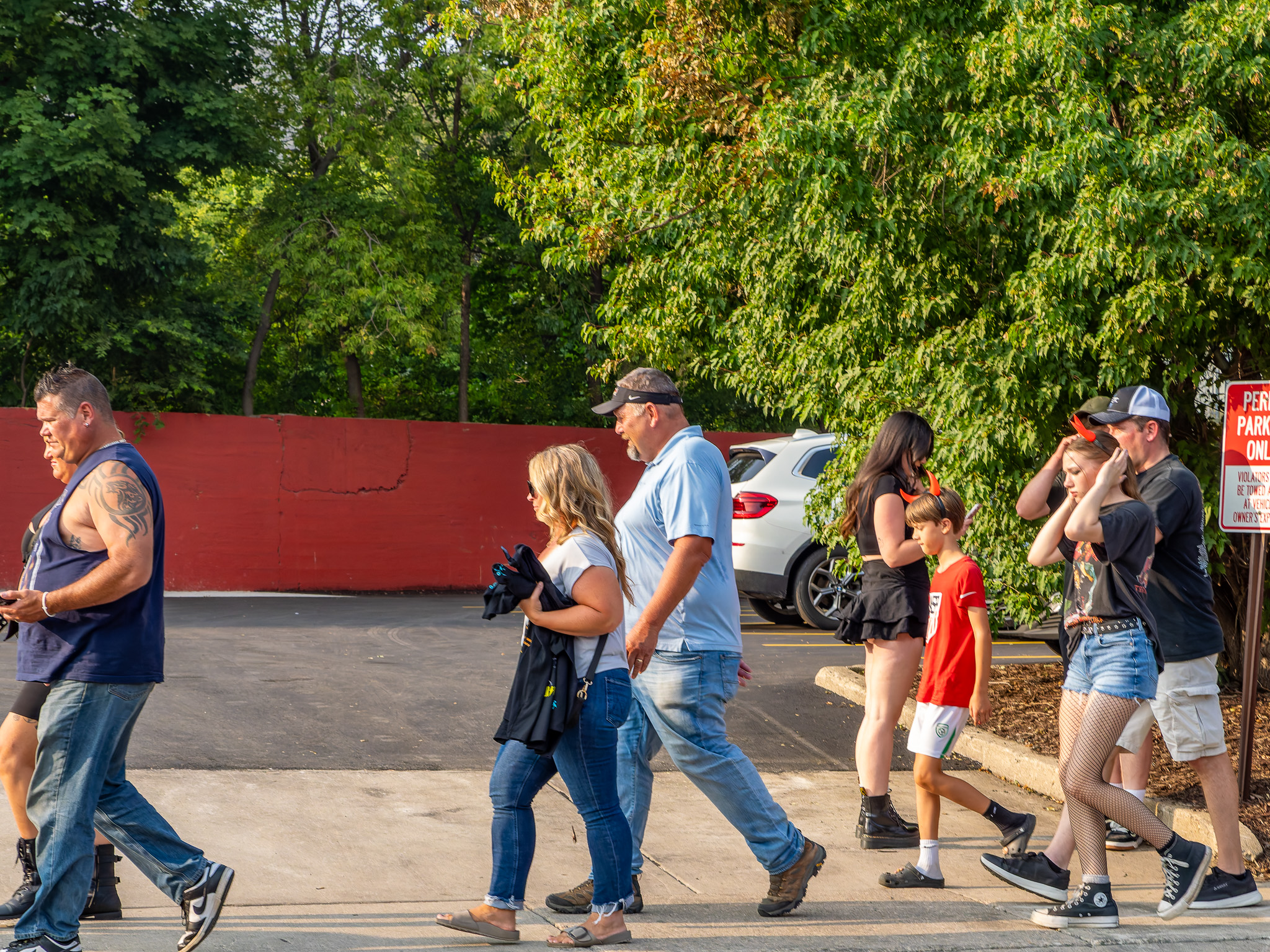
around Camp Randall Sunday evening.
Fanless football, 2020
.
Explore Madison in amuz.
Older Posts
Home
Subscribe to:
Posts (Atom)